





 Permit
- A permit is required and there are designated campsites around Lake of the Woods you must use. There is a guide here and you get your permit online from Recreation.gov. Bear canisters are required in Desolation Wilderness.
Permit
- A permit is required and there are designated campsites around Lake of the Woods you must use. There is a guide here and you get your permit online from Recreation.gov. Bear canisters are required in Desolation Wilderness.
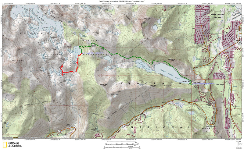
Mileage - The hike in is listed at 5.5 miles (we did about 6 miles to our site). See map/profile below.
Camps/Water/Bathrooms Facilities - You are in the wilderness so there are no facilities. There are trash and bathrooms at the trailhead.
Hazards - Bears, rattlesnakes, giant mountain ants, mosquitoes (not with the wind we had through), and one weird giant nest.
Eric and I headed in on a Thursday to lessen the possibility of crowded trails on this two-night trip.
The trailhead is just south of Echo Summit on Highway 50. Take Johnson
Road (sign for snow park on the north side of the roadway for eastbound
Highway 50 and if you pass it you will see a sign for Echo Lake when
you are headed westbound). Echo Lakes are actually connected most of
the time (when water conditions are good). There is a water taxi available
during the summer that will take you all the way to the north end of
Upper Echo Lake. This cuts a lot of trail out (over 2 miles), and will get you a jump
start on your trip. There is a parking
lot down by the dock (that fills fast) and also one above. There is
a trail from the upper lot on north side of road down to the store/bathrooms area (stairs). Store is closed
this time of year.
You pass by both Lower and Upper Echo Lake and also Tamarack
Lake on this trip. Here is the view from
the dam at the southern end of Lower Echo Lake. It was a great day for
backpacking with a breeze and temperatures in the upper 60's.

The trail is rocky and rough
in spots the length of both Lower and Upper Echo Lake. Not much elevation
gain or loss but rocky. The exception is of course the very beginning
where you gain a little elevation through a short series of switchbacks and in between Lower and Upper Echo Lake where there is a short climb.
Once you are above the lake you have some great views of the cabins
along the lake. Here is Eric taking in the views of Echo Lake. I should also mention that you take a left at the junction with the vista point after the dam and before this shot was taken. Do take a minute to take in the view at the vista of Lake Tahoe.
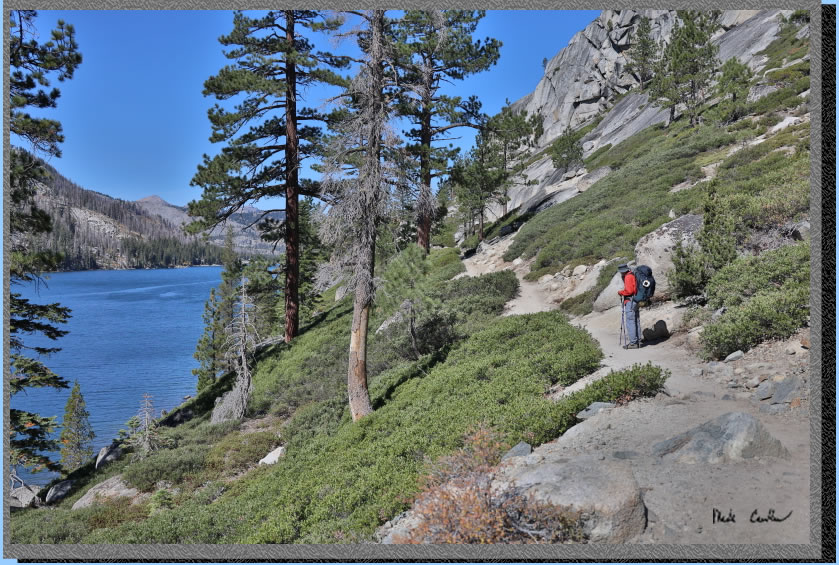
Here is another trail shot. The trail is rocky and exposed along this section. There are some great views of the surrounding cabins and Echo Lake. We were surprised by the number of day hikers and backpackers on the trail on a Thursday in late September. Most of the backpackers were headed out though.
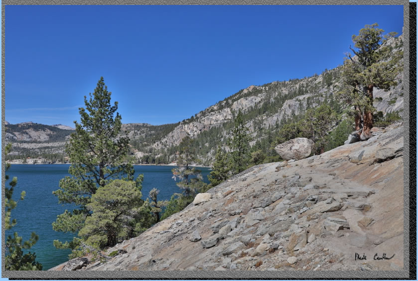
Another shot of Lower Echo Lake and the wind. The forecast for Lake of the Woods was a good amount of wind. Our plan was to take a sheltered campsite on the east shore.
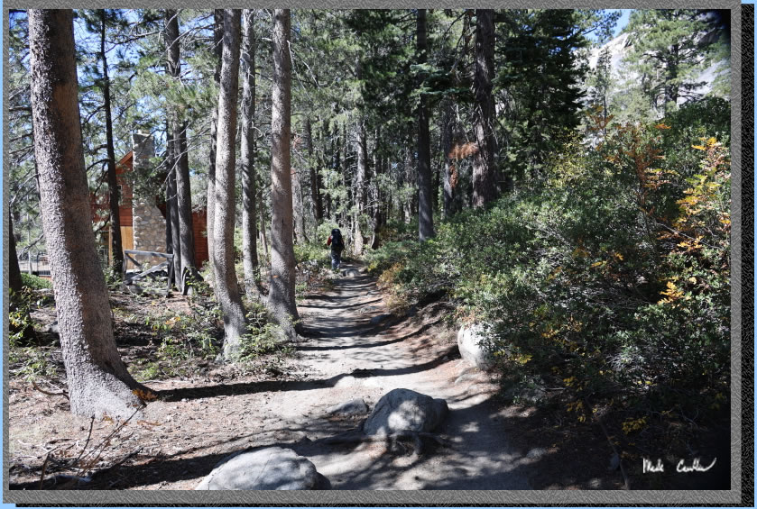
The trail gets more covered in spots now. There are some cabins right on the trail through here. You can see the trail is also nice and level. I have found that level is a relative term on most trails. Here I think level is actually close to level though.
We hiked up now to a nice view of Lower Echo Lake.
After the uphill the trail will level off a bit again on the way to the water taxi dock. The trail looks overgrown in this shot. It is not in real life.
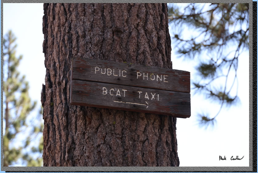
Here is the sign for the water taxi. Any backpacking trip that involves a boat is pretty cool. I have only been able to take it once so far.
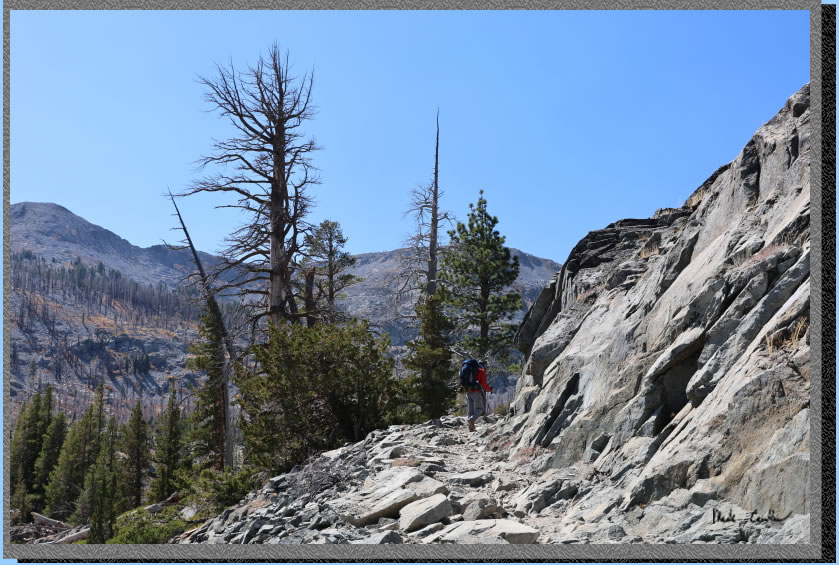
There is more uphill now on more rocky sections of trail. Here are the typical conditions through this section.
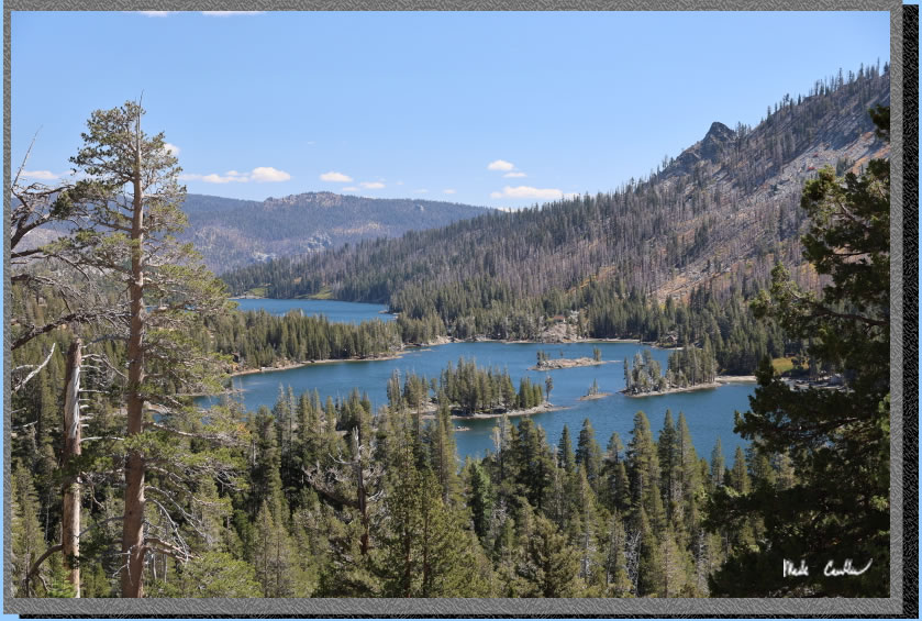
The good part of hiking uphill (besides the fact that you will eventually run out of the uphill) is the view. There are great views of Upper and Lower Echo Lake throughout this section of trail.
Suspicious lizard shot.
We have reached mile three and the boundary to Desolation Wilderness. The uphill gets a bit more serious now. 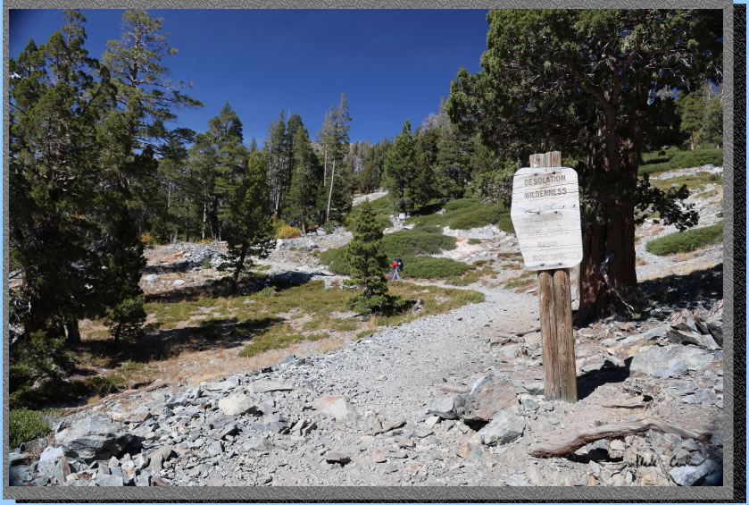
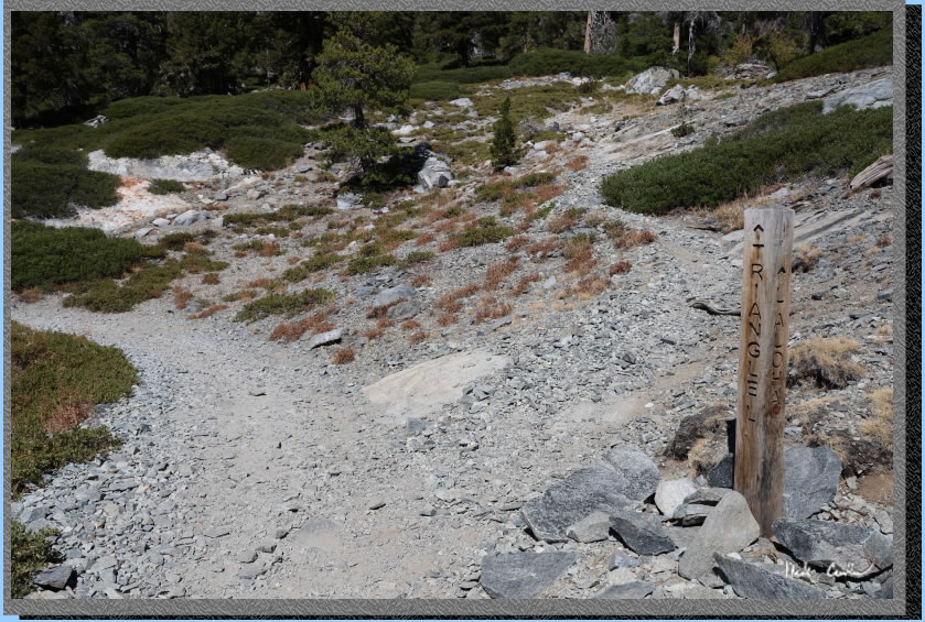
Here is the junction with the trail to Triangle Lake. Continue left, and uphill.
. 
Some of the uphill, as demonstrated by Eric. 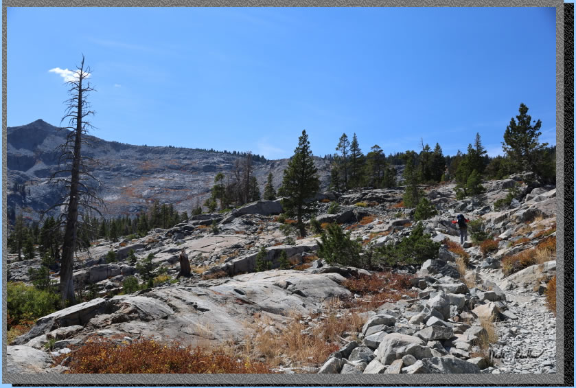
Continue past past the junction to Tamarack Lake (also well marked) then take
a look back occasionally to see the the views you have gained through
your hard work. Tamarack is a great lake as well. If you are looking
to get someone out to the Sierras for the first time this may be a good
choice. Couple it with the water taxi and you can really make this a
short hike in. 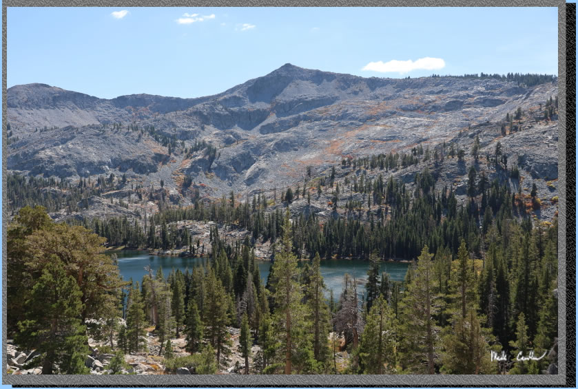
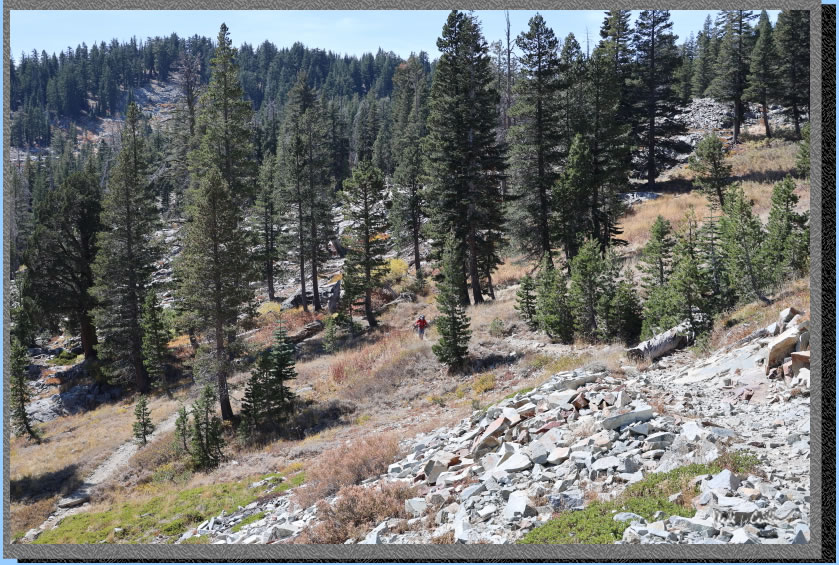
You know you are on an uphill section when you get to traverse the switchbacks.
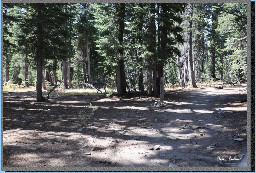
Once you run out of the up, the trail will be more covered and made of more dirt until the next junction. Make a left at the junction (post marked Lake of the Woods) right would take you to Lake Aloha.
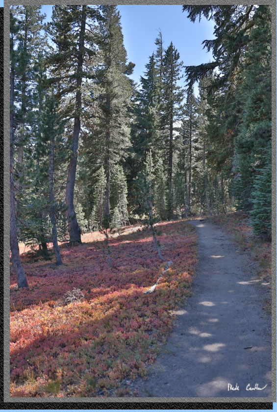
The trail narrows and is slightly downhill until the last bit of uphill to the next junction. Here is a shot of the fall colors showing.
. 
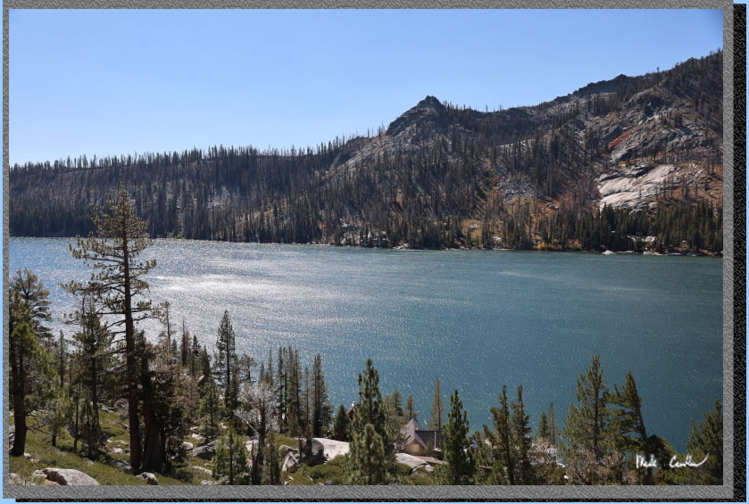
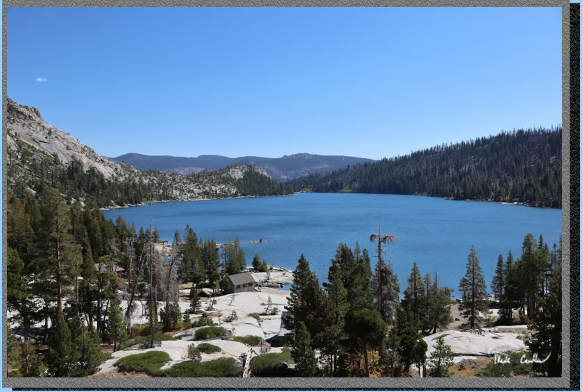
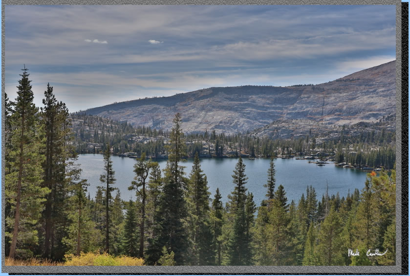
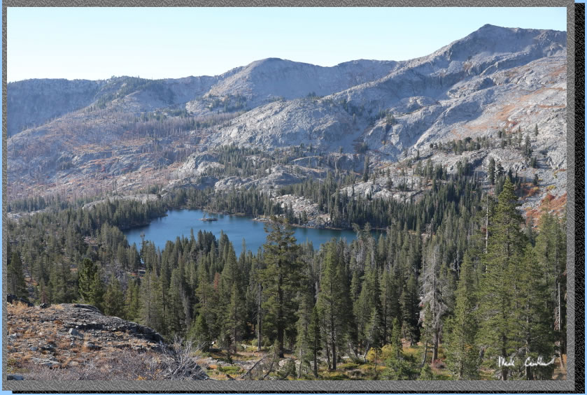
We continued up and then straight at the last junction to Lake of the Woods. The last junction is a 4-way junction: left is for Ralston Peak and right would take you back to the PCT/TRT toward Lake Aloha. We continued on the the trail down to Lake of the Woods. Here is the view on the way down.
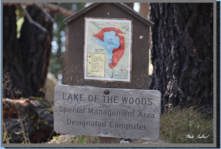
So you have to camp in specific marked sites as I mentioned earlier. There are maps online (page 8) and at the lake. The trail puts you at the northernmost site. It is a good site but we decided go left/south toward some of the other sites. We picked one on the east shore that was sheltered from the wind by trees and a big rock. Here is one of the site maps. Sites have taller wooden posts with tent symbols. Sites that should not be camped in have very short posts with stapled signs that say no camping. Rangers are very active in this wilderness, so do follow the rules.
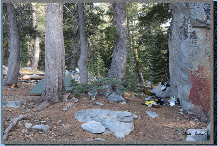
Here is our camp and the big rock. It does obstruct the lake views, but no wind came through the rock either.
Here is Eric's hammock setup with the lake in the background. 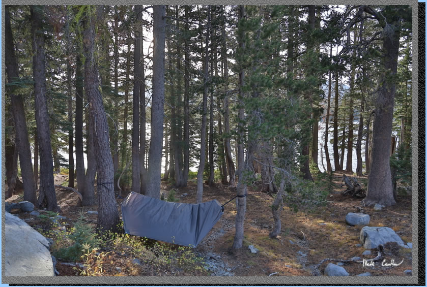
We filtered some water after setting up our shelters then ate dinner. Here is the view as the sun retired. You can tell from the waves the weather remained windy. I stayed up watching the satellites go by until the moon rose and cast some moon shadows before I called it a night.
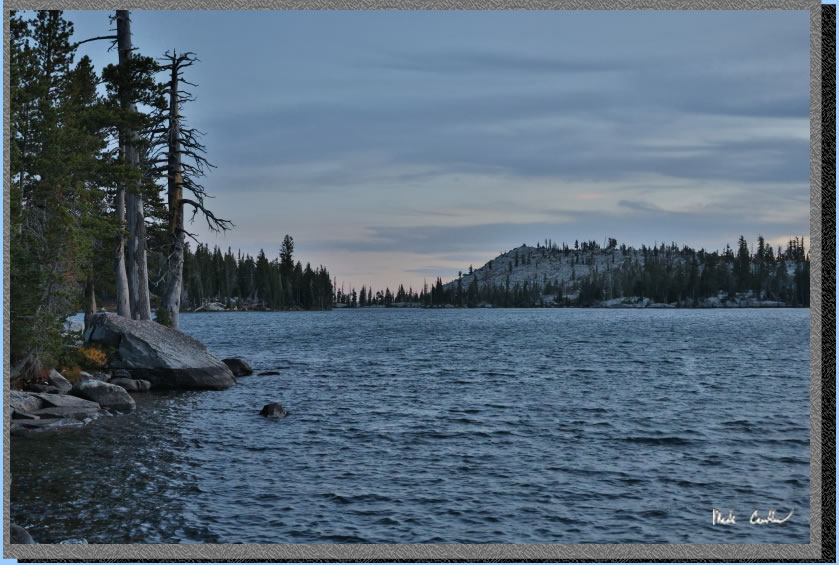
That night was cool with significant wind all night. It was constant enough to get used to and sleep through. Luckily my tent had a taut pitch and did not flap much. The next morning brought clear blue skies (and more wind). Here is the lake that morning. We planned to hike to Ropi Lake for lunch after breakfast.
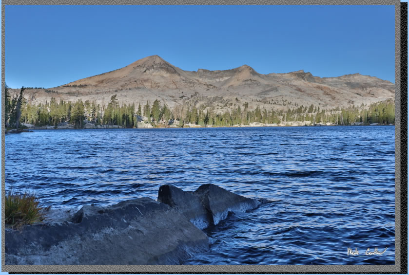
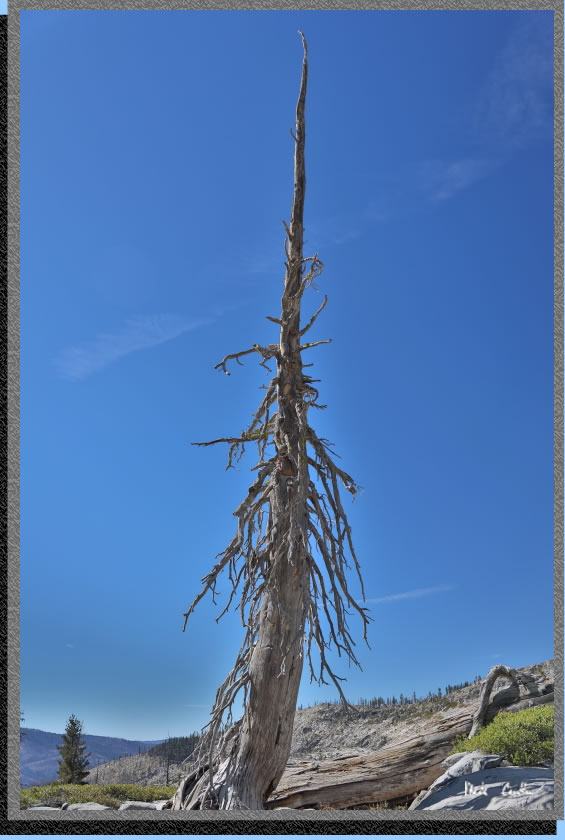
We packed up our ten essentials and headed south along Lake of the Woods toward Ropi Lake. We checked out the other campsites along the way. All of them were empty. There was a group of 6 or 7 that were camped out in one of the sites the night before. They had already headed out when we were eating breakfast though. The trail starts along the lake is mostly level/slight down and covered. Eventually the trail becomes more exposed and rocky. Here is a dead tree out in the open section. It was in this section that we had three fighter jets fly over. Man they were loud, even though they were up pretty high.
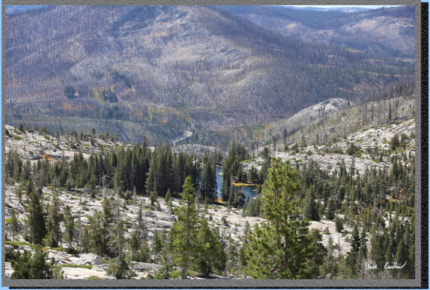
There are some great views to the south. Here is a shot of Avalanche Lake and Highway 50 beyond.
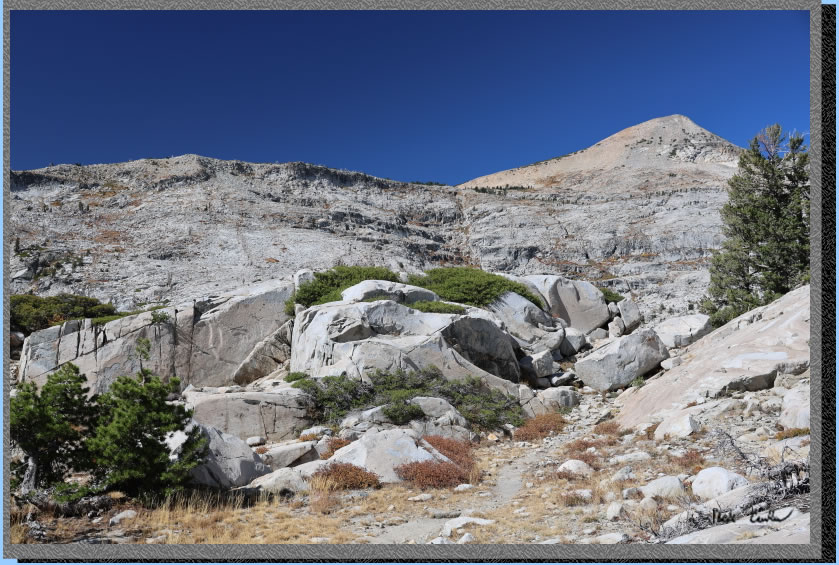
The trail conditions through this section.
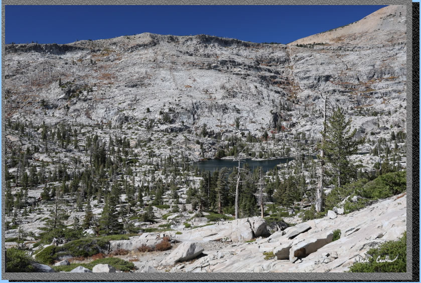
We continued down toward Ropi Lake. You can see it in the image below.
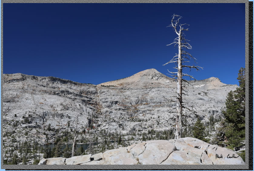
Another dead tree I captured.
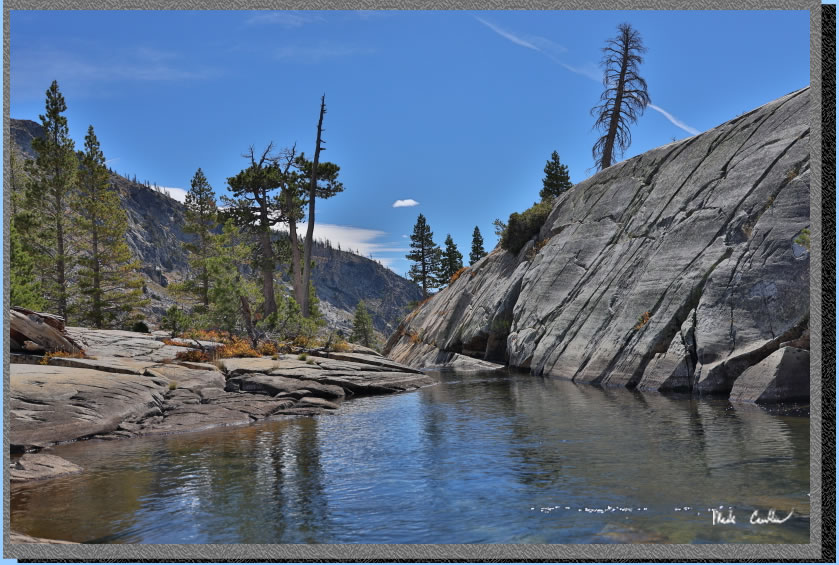
We explored the outlet side of the lake first. here is the major outlet with the water pooling here before tumbling down the steep granite just beyond. If it was warm (or maybe just less windy) I would have gone in.
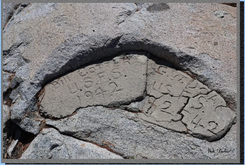
Near the dams constructed out here are some monuments that were left by those that were tasked to construct them.
We continued to explore the inlet side and I decided to trek up the waterfall section toward Desolation Lake. There are some small pools through this section.
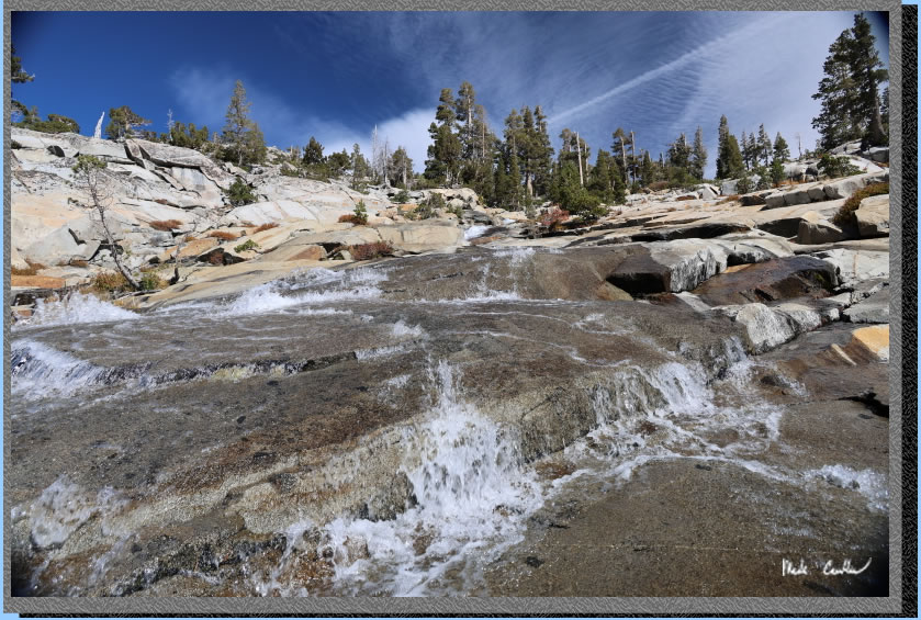
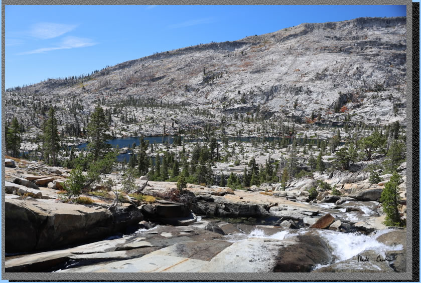
I continued up a bit to find a good place to soak my head. I took this shot as I was drying off. You can see the ropi-ness nature of Ropi Lake in this shot. The lake just visible in the distance is Toem Lake (not explored today).
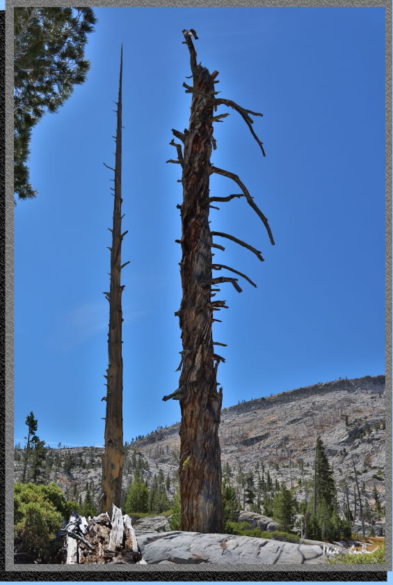
We took our time headed back up now to Lake of the Woods. A pair of dead trees of varying texture along the way.
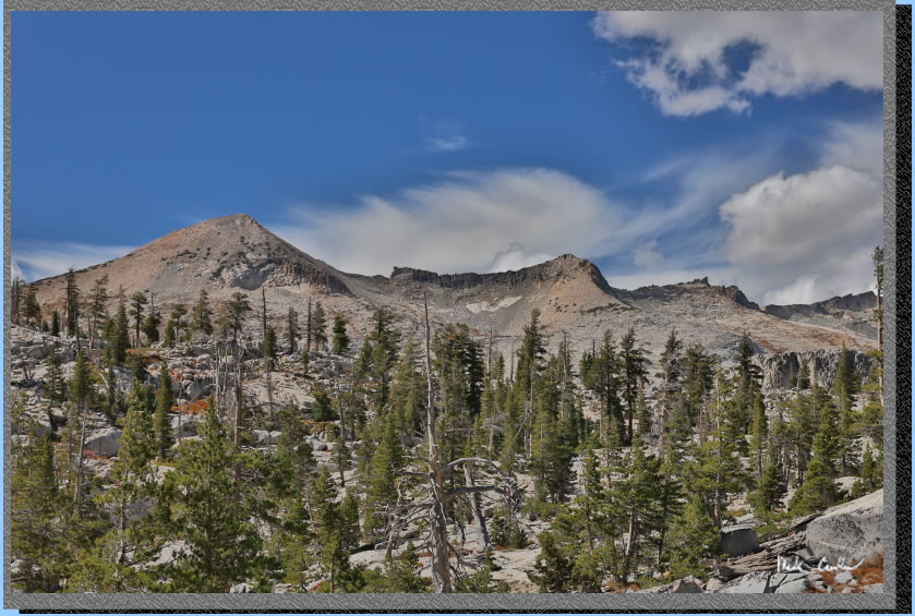
It was surprising calm near Ropi Lake. The wind really picked up in the open section on the way back to camp. It was moving clouds along fast.
We made it back to camp with time to take in the lake views before dinner.
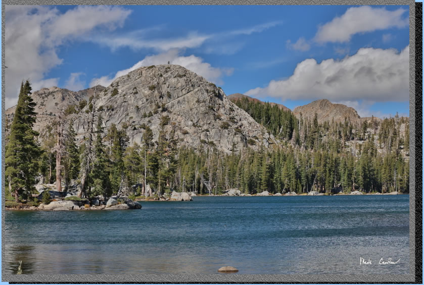
Hard not to enjoy the views that day. We eventually had dinner and waited for the stars to come out again. It was a little cooler that night. Surprisingly no new backpackers hiked in to our side of Lake of the Woods that day. We decided to pack up early the next morning to do the bulk of the hiking before the trail got busy that Saturday. I will eave you with some shots that did not make it into the description but should be included.
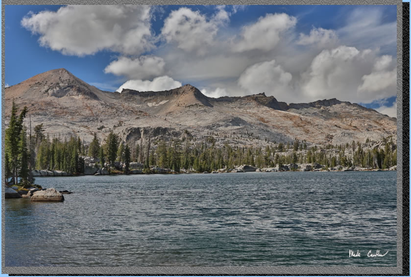
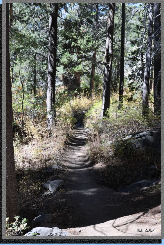
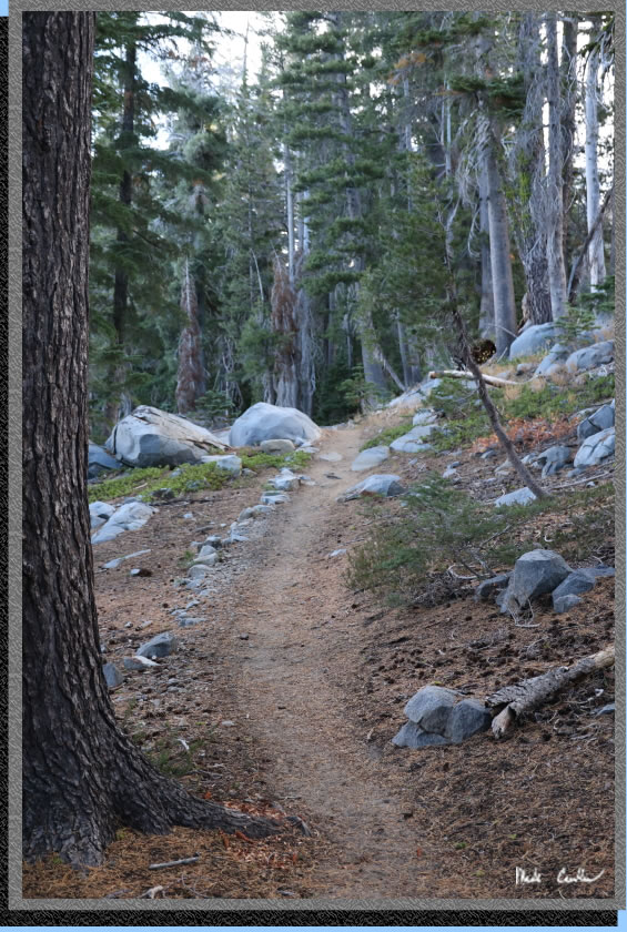
Trail on the way out on Saturday near our campsite.
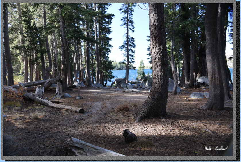
The first campsite at Lake of the Woods.
Tamarack Lake.
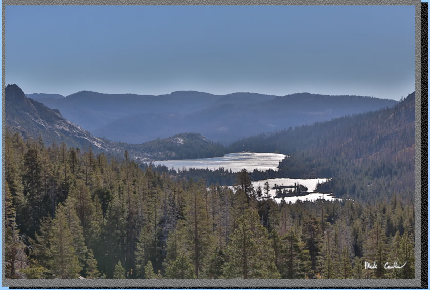
The sun was blinding off Echo Lakes on the way out.
Early morning colors.
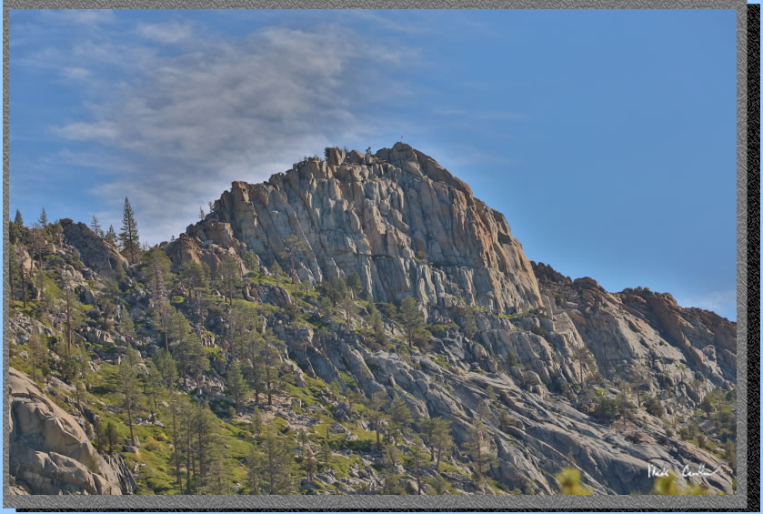
Amazing trees.
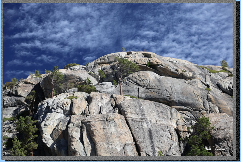
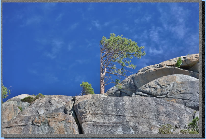
Wind shaped tree.
Map shows trail from from Echo Lake Parking lot (upper) to Lake of the Woods campsite (green line) and day hike to Ropi Lake from camp (red line) elevation profiles below. Click either for a larger version.
.
(back to top)
Elevation
profile from Echo Lake Parking lot (upper) to Lake of the Woods campsite

(back
to top)
Elevation
profile from Lake of the Woods campsite to Ropi Lake and up to waterfall above inlet and back to camp (round trip)

(back
to top)