


![]()
 Permit
- You must call
ahead for reservations as Sunol backpacking is popular. Prices were
$5 a person per night and an $8 reservation fee over the phone. Reservations
can be made by calling 888-327-2757 but for questions about conditions
or recommendations call the local ranger at 925-862-2244.
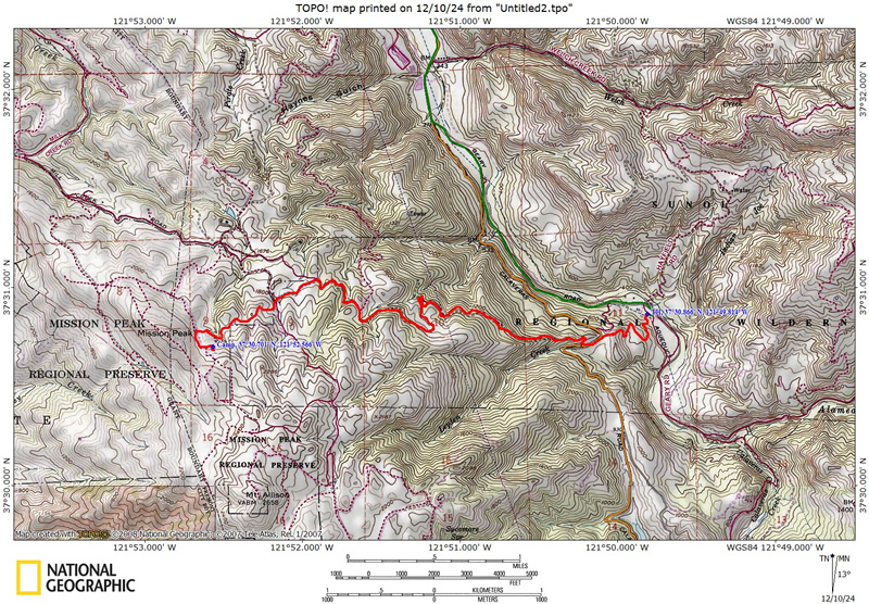
Mileage - The hike in was ~4.5 miles. See map/profile below.
Camps/Water - There are no water sources until camp. It is recommended you treat water from faucet at camp. When we went the ranger said there was no water at camp (dried up). There is no water or bathrooms provided at the trailhead but camp has a nice outhouse and trash cans. There is no cell coverage at the trailhead.
Hazards - Poison Oak, mountain lions, falling tree limbs.
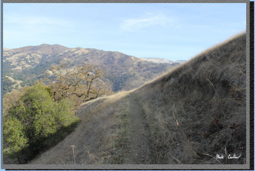
Leo, Dylan, and I went on this, winter, Ohlone WIlderness Trail trip to Eagle Springs backpacking camp. Eagle Springs Backpack Camp can be reached using the Ohlone Wilderness trail from either Sunol Regional Wilderness or Mission Peak Regional Preserve. Heading in from the Mission Peak side makes for a significantly shorter hike, but much steeper. You would head in from the Stanford Ave staging area if you pack in from this side (I am told there is no overnight parking at the staging area). I have yet to hike this short section of trail but will someday. We decided to use our usual route, the Sunol side. If you want to see this trip with all the hills green click here (I borrowed the picture from that trip above). Park at the equestrian area for the closest parking to the trailhead. You must call ahead for reservations as Sunol backpacking is popular. Prices were $5 a person per night and an $8 reservation fee over the phone. Reservations can be made by calling 888-327-2757 but for questions about conditions or recommendations call the local ranger at 925-862-2244. They give you a parking permit now when you reserve, so if you don't find a ranger when you arrive it is no big deal. There are four sites available at Eagle Springs. All four sites have picnic tables and flat areas for at least a tent or two. Water is available but the recommendation from rangers is to treat it (many cows out here). There is also a pretty nice outhouse and trash cans. Site #4 has the largest tree, and the only real shade. If you are doing this trip in the summer/heat pick site #4. Hiking in from this side has registered 4.3 to 4.5 miles (using the same route... I don't understand it). The grade is mild but don't take my word for it, see the map and profile below (the elevation change is always 1,700', on all the trips). You can do a quick 20 minute day hike from the backpacking area to the top of Mission Peak. We camped on a Friday night and saw only a few people at the top of the peak. I have seen much bigger crowds in the summer.
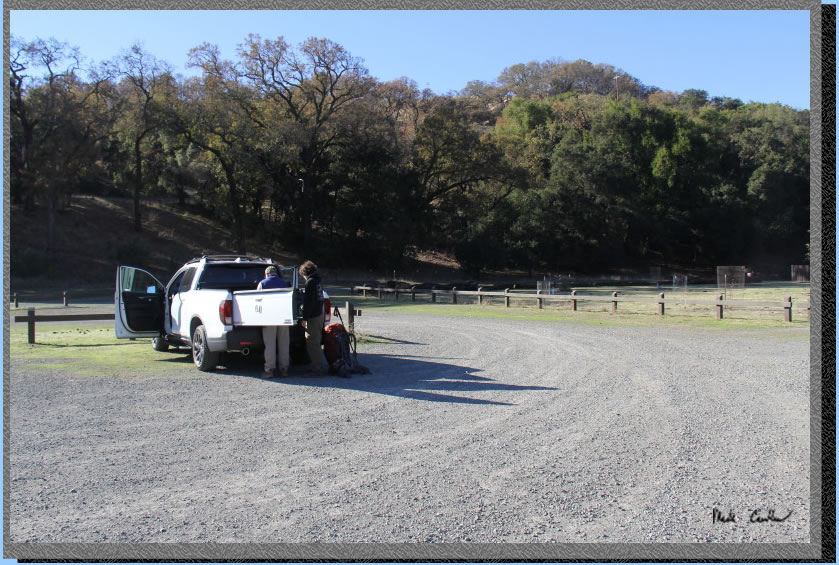
Here I am taking a picture
at the Sunol Regional Wilderness equestrian area parking lot. The trail starts in the corner of the lot past Leo's truck. The lot has been redone recently (well I haven't been out here is a while so in the last 8 years).
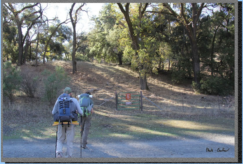
The start of the trail is past the green gate.
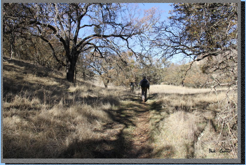
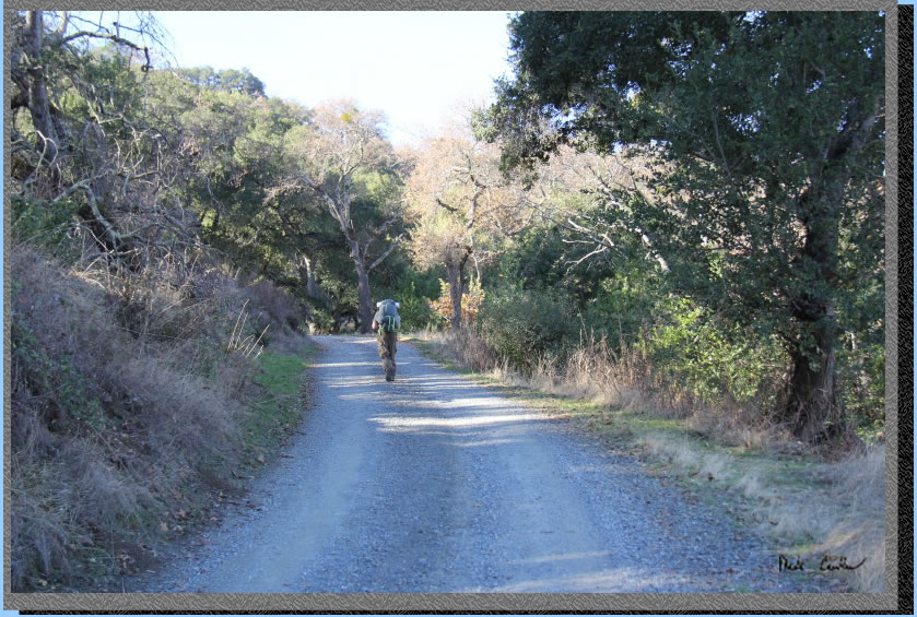
Here is the brown winter conditions for the trail. THe hike on the way in is mostly gentle uphill.
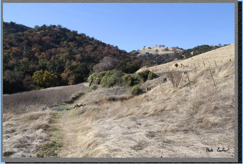
Here is a shot looking before we cross
Calaveras Road. You cross the road (see yellow animal crossing sign), then across the grass, then up the hill on
the fire road. Trails are well marked and easy to follow. There are
many cow trails, but those look like cow trails, not the wide Ohlone
trail.
The low sun this time of year helped to make the fire road sections shadier. Weather was great for a winter trip, no rain and the sun was out.
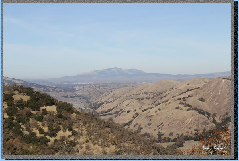
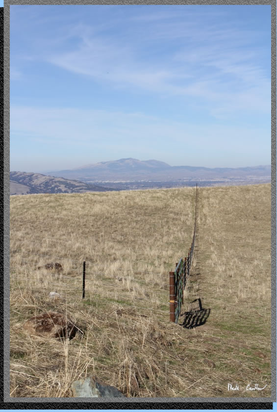
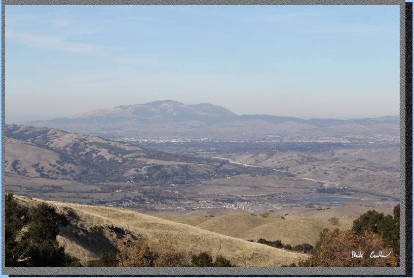
There are some view along the way. So don't stare at your feet. Here is Mount Diablo in the distance. Air quality wasn't the best, hence the haze.
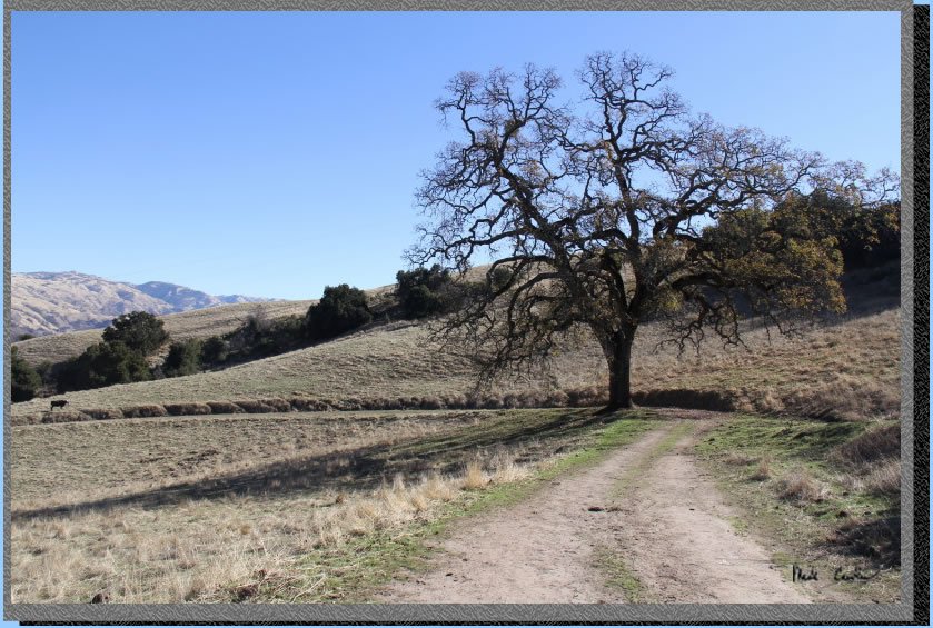
Typical trail conditions out here. There are many cows with calves, so approach them cautiously. Don't put yourself between the calf and mom and you should be OK.
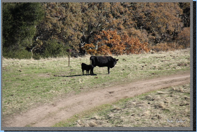
Example of a shy calf, or a protective mom...
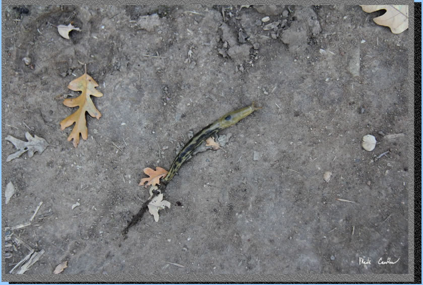
This guy was speeding across one of the moist sections of the fire road on the way in. Haven't seen them out there before this trip.
Getting closer to camp now. This section can be warm in the summer. Today it was great. Most of the area off the trail is protected watershed, so stay on the trail.
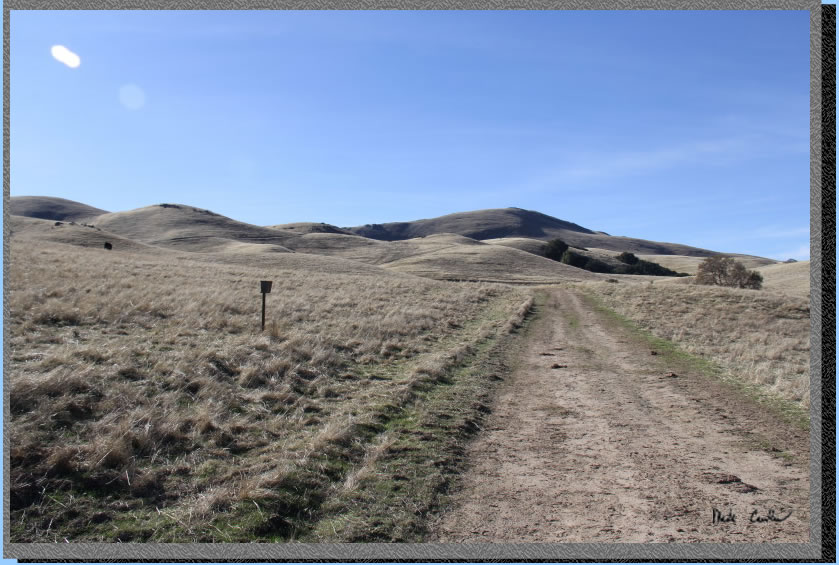
Picture from a previous trip to show the contrast between seasons.

A shot of the fence posts stretching out to the horizon.
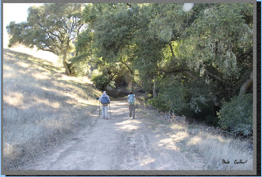
The trail quickly dips into a creek drainage and then back up the other side. This area can be a nice break from the warmer weather in the summer.
Here is the gate at camp. Keep it closed to keep the cows out of camp. Water is located just outside of the fence (to left of this shot, not shown). Outhouse and trash cans are on right just inside of the gate. The tree furthers up the hill is site #4.
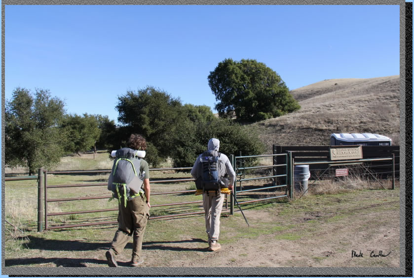
Here is the view from camp. It doesn't suck.
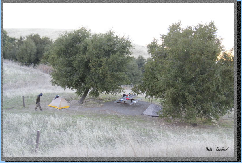
This is a shot of the Eagle Springs campsite #2. The weather was changing to cold with a breeze. The last time I was here the trees were much smaller around this site. I think this site may turn out to be the best one in a few years. The site is much flatter for tents than site #4.
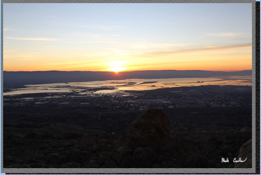
We finished setting up camp and had a snack and then headed up to Mission Peak. The golden hour was in full effect.
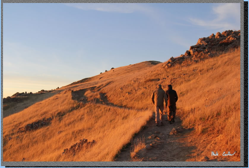
We made it up there in time to watch the sun leave us for the night. The haze gave us some nice colors.
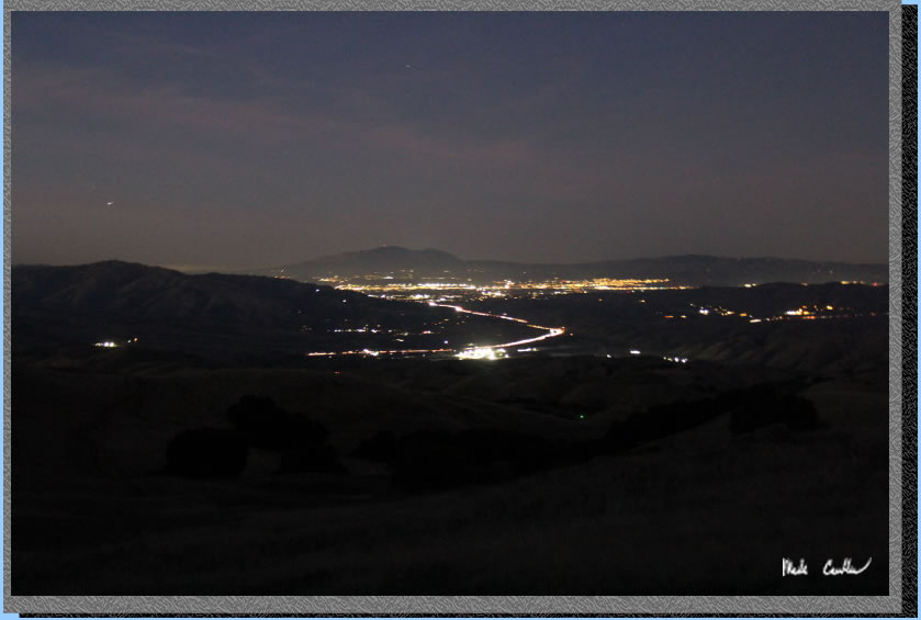
Night shot from camp. I-680 can be seen but not heard. We ate some dinner and played some gin until it was late. We had no other campers at camp that night.
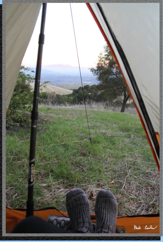
The wind was mild that night with temperatures cool but not freezing. Here is the view from my tent that morning. You can see some of the new green grass under last season's brown.
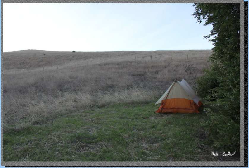
Here is my tent setup. I decided to not setup under the giant Bay Leaf tree as it had already dropped a bunch of decent sized limbs recently. I should also mention that the limbs we used to use to setup hammocks in this tree are no longer there. I would not recommend counting on this tree for a hammock setup any longer.
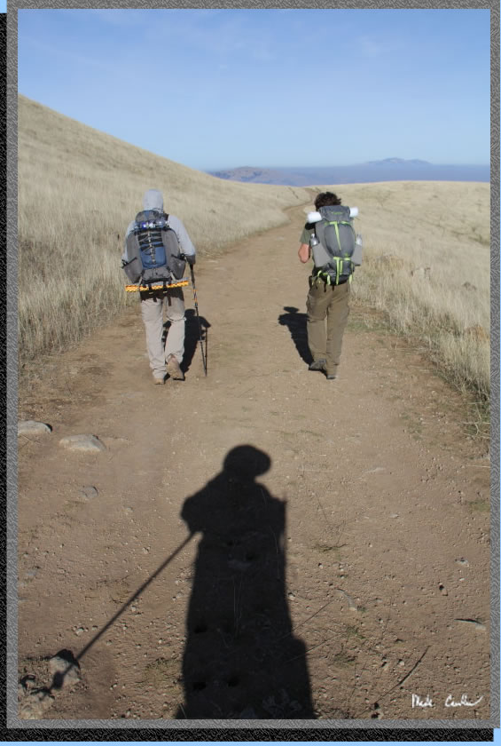
We took our time packing up and heading out. It was a little warmer on the way out, but since it is almost all downhill it was still very comfortable. I am the shadow in this image. We headed out the same way we came in. I will leave you with a few images taken on the way out.
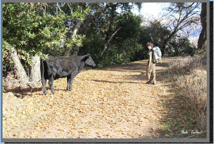
I am not sure what the cow was thinking when Dylan went by it.
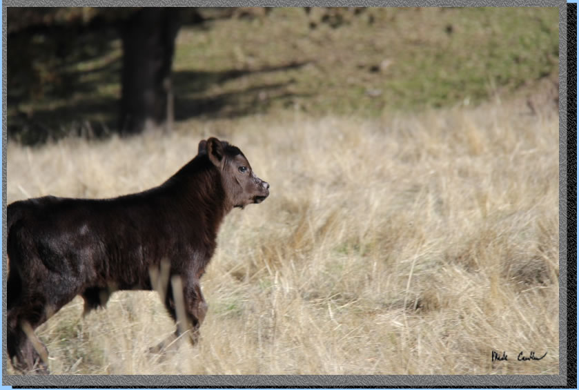
Speedy young calf.
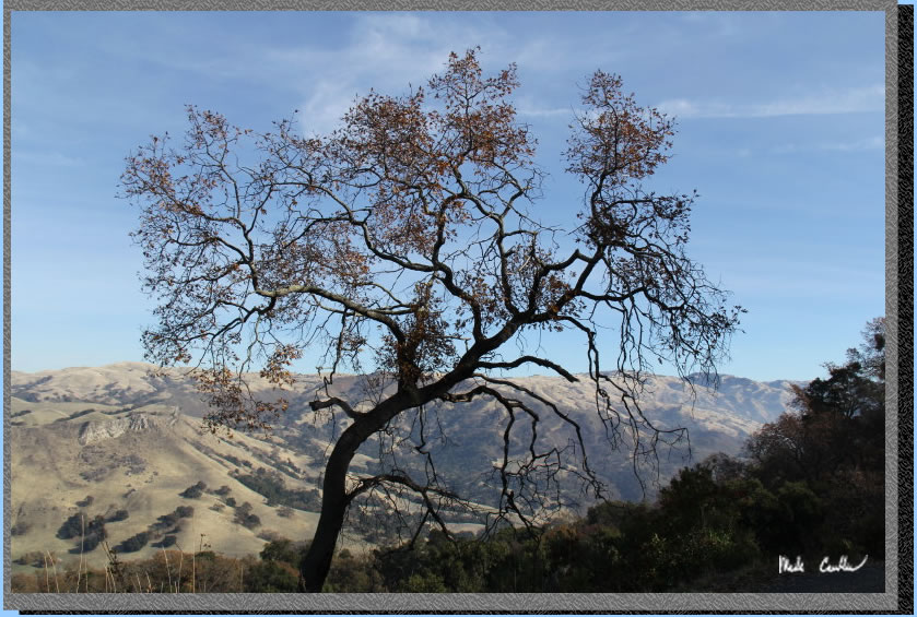
Dormant tree.
Here is the last good shot
I took on the way out. We are close to the trailhead at this point.
Another great trip close to home. Eagle Spring is a great trip if you
are looking to get in a quick trip without a long drive. Do make a reservation
ahead of time. I recommend that you consider hiking the whole Ohlone
Wilderness Trail sometime, it really is worth doing. See some of my
other descriptions for backpacking camps in Sunol Regional Wilderness
and Del Valle Regional Park here to see what mileage options there are.
Red line shows the section
of the Ohlone Wilderness Trail we hiked (green line is the road on the way to trailhead). Elevation profile below map. Click on either for a larger version.
.
(back to top)
