


![]()
 Permit
- A permit is required for all overnight stays at Stewartville Backpack Camp. Permit
must be obtained by calling 888-327-2757 x3.
Permit
- A permit is required for all overnight stays at Stewartville Backpack Camp. Permit
must be obtained by calling 888-327-2757 x3.
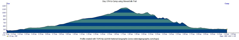
Mileage - The hike in was 3.2 miles (I did a semi loop so day two was a little longer at 3.6 miles). See map/profile below.
Camps/Water - There is a bathroom (pit toilet), tables and non-potable water at the site. I packed in my drinking water but confirm there ws clear flowing water from faucet at camp.
Hazards - Rattlesnakes, Coyotes, Mountain Lions, angry cows, ghosts in Prospect Tunnel. Emergency # 510-881-1121 (always check with a ranger ahead of time for current water/trail conditions, call the emergency number, 510-881-1833).
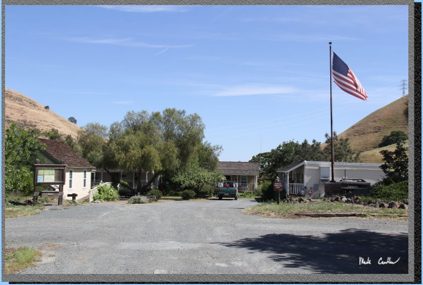
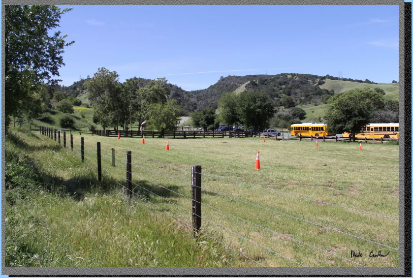
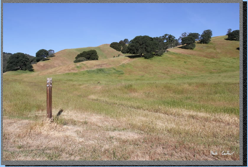
I made this trip to Stewartville Backpack Camp in Black Diamond Mines Regional Preserve while the weather was still cool and the hills still green. The trailhead is easy to find off Somerville Road in Antioch. Follow the road past the entry kiosk (closed for me) and then make the next left into the large parking lot. The permit is emailed to you and says to park in the "Sidney Flat Visitor Center" parking lot. Well that isn't labeled on the map I have. It is the lot next to the park office on the map. The trailhead has water, pit toilet, maps, and emergency phone. I had okay cell phone coverage at trailhead. Potable water is just to the left of the flagpole. Maps are under the informational signboard. The bathroom is off camera to the right in this shot (hard to miss in person).
. 
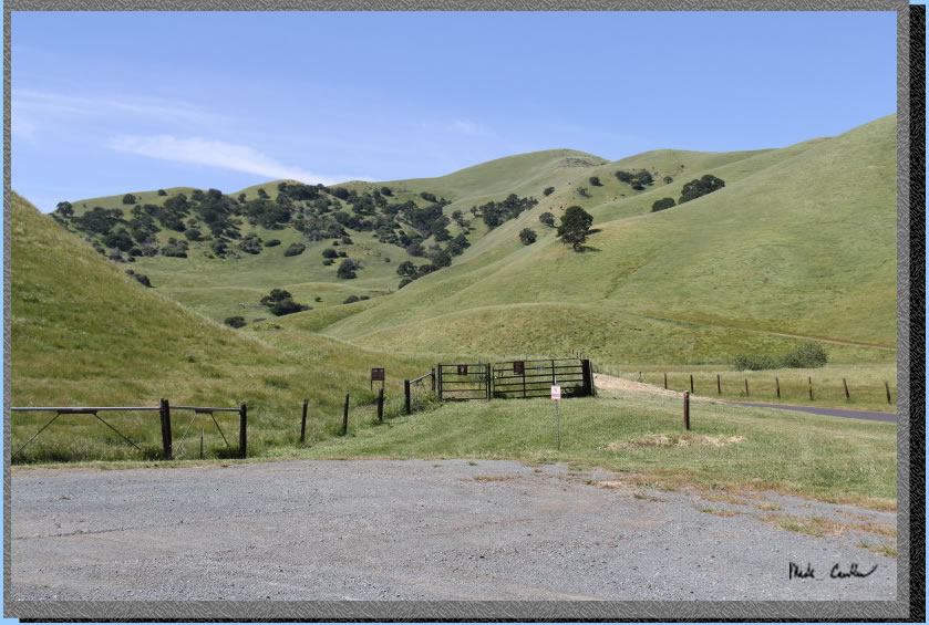
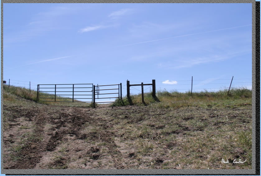
The trail starts at the southern end of the parking lot. Cows are prevalent out here so be prepared to open( and then close) many cattle gates.The trail is called the Railroad Bed Trail and the name is on the smaller gate in the image below.
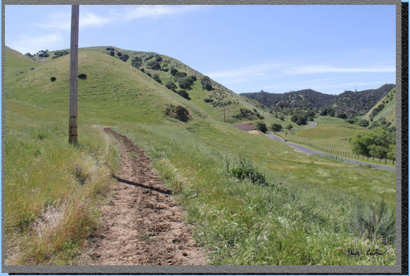
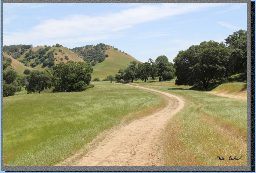
The trail is exposed and follows the road on the way in. There is another parking lot ahead that you could drop people/gear off, if you are trying to shave some mileage. This section of trail is gently uphill.
Here is the lot I spoke of with some overflow parking in a corral. There were some buses that I am guessing were for some type of school field trip. I was out here midweek but did not see any kids,maybe they were underground. There is another bathroom for this parking lot. This would be your last one until camp.
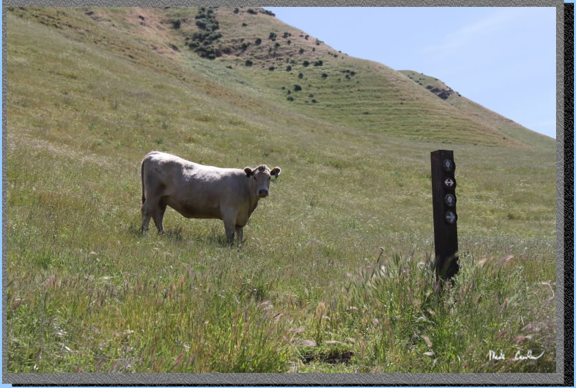
After the corral you will come to the first junction (maybe guarded by a cow). This is the River View Trail. Stay straight to continue on the Railroad Bed Trail.
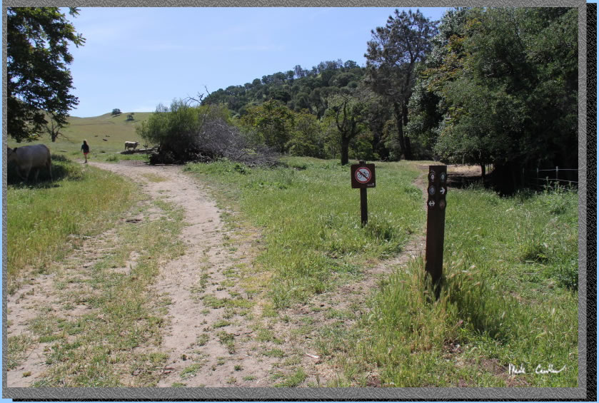
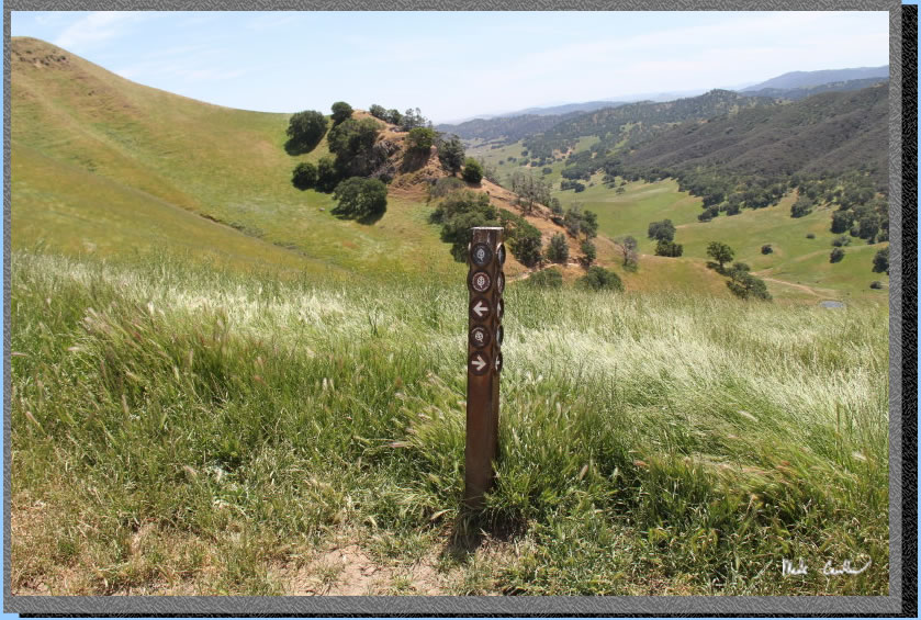
Trail continues along fence (stay on wider trail, not cow path) to junction with Stewartville Trail. At that junction take a left (away from road). I was unable to get a shot as a large group of cows was in my way, I had to use the cow path to continue on to the next junction, Pittsburg Mine Trail. Stay left to remain on the Stewartville Trail. Image below is of the Pittsburg Mine Trail junction.
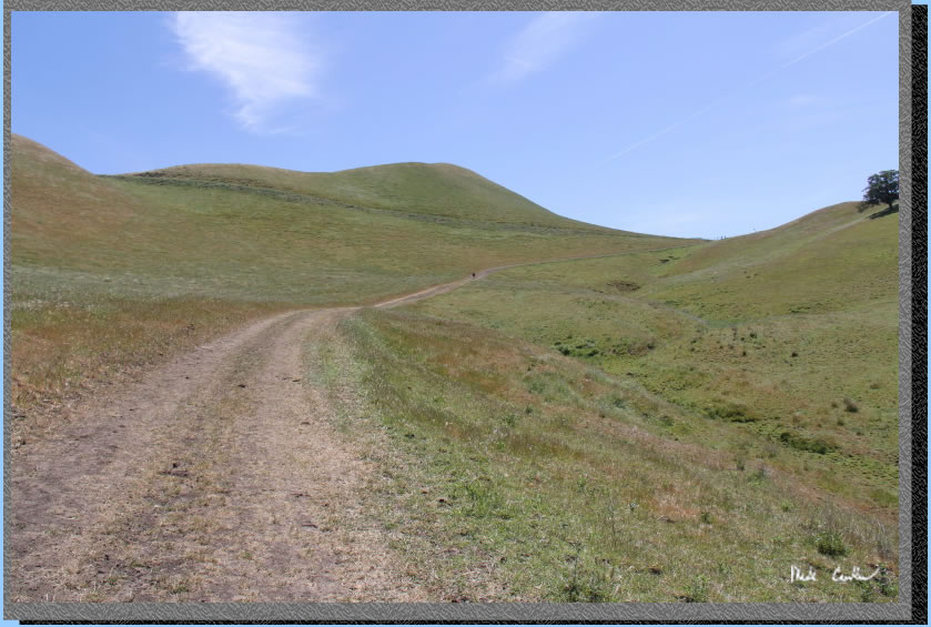
The trail continues uphill (steeper now) and exposed to next junction at fence at top of ridge Just around the bend to the right in the image below.
So you want to go through this gate and continue to the next junction (on the other side of the gate/fence). If youmsitakingly turn right here, before the gate, you will see a lovely portion of the Ridge Trail (good views and interesting sandstone rocks). You will eventually come to the Chaparral Loop Trail and realize you should probably take the map out of your pocket more instead of just taking pictures. So, to summarize, go through this gate to next junction.
Here is the junction you are looking for. Take a right here to continue on the Stewartville Trail. Trail goes downhill now into the valley below. Here is the junction with the Ridge Trail to the left and Stewartville on the right.
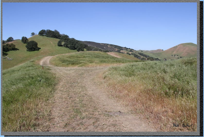
Some of the downhill section to next junction.
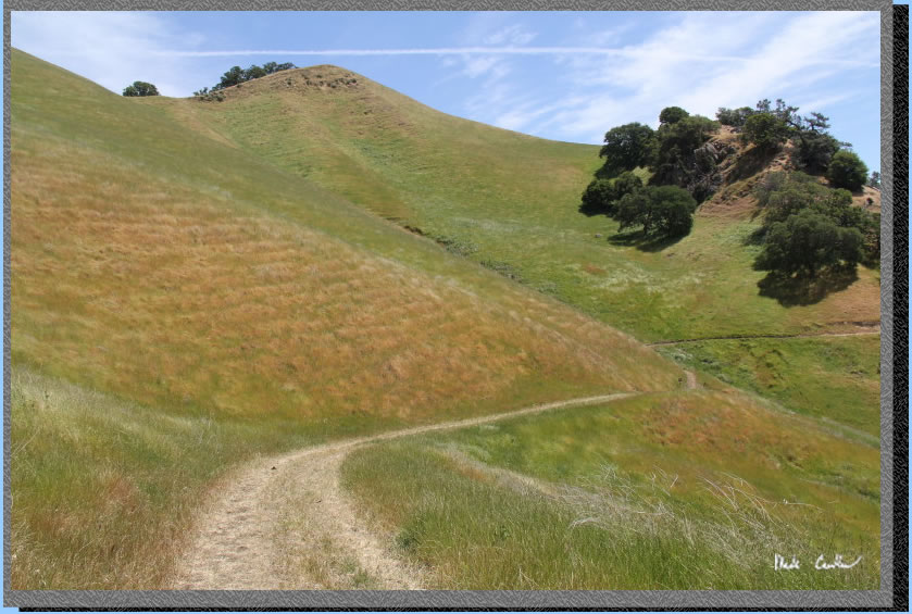
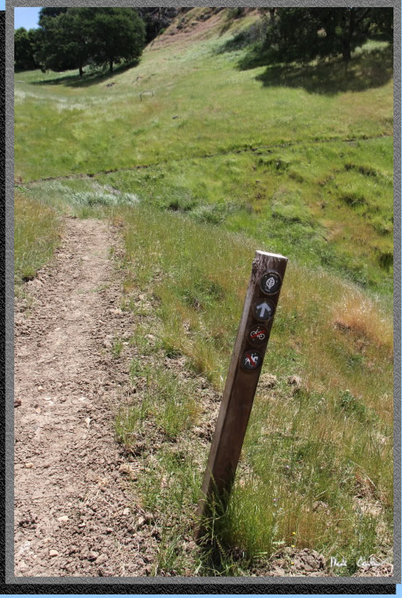
You will quickly come across the next junction on the left, Miners Trail. Trail is narrow single track now.
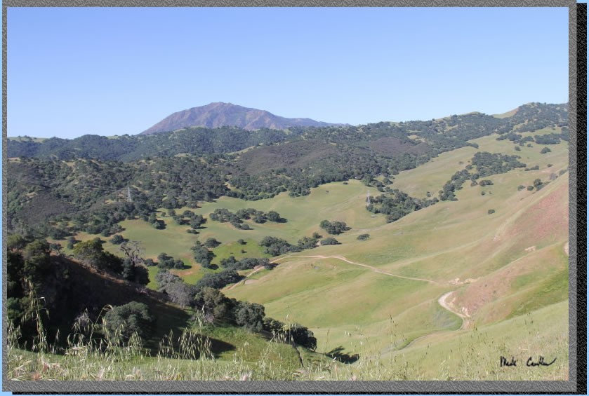
Trail is mostly exposed and downhill to valley below. You can see Mount Diablo in the distance.
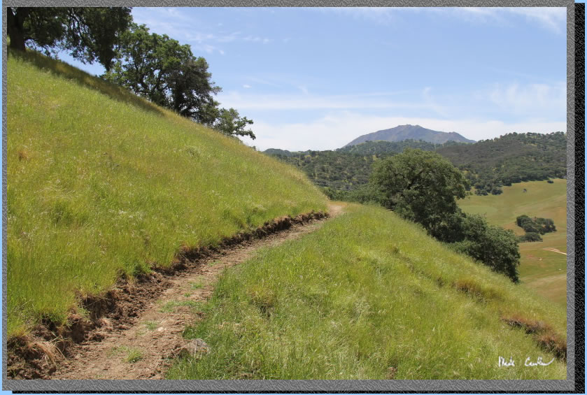
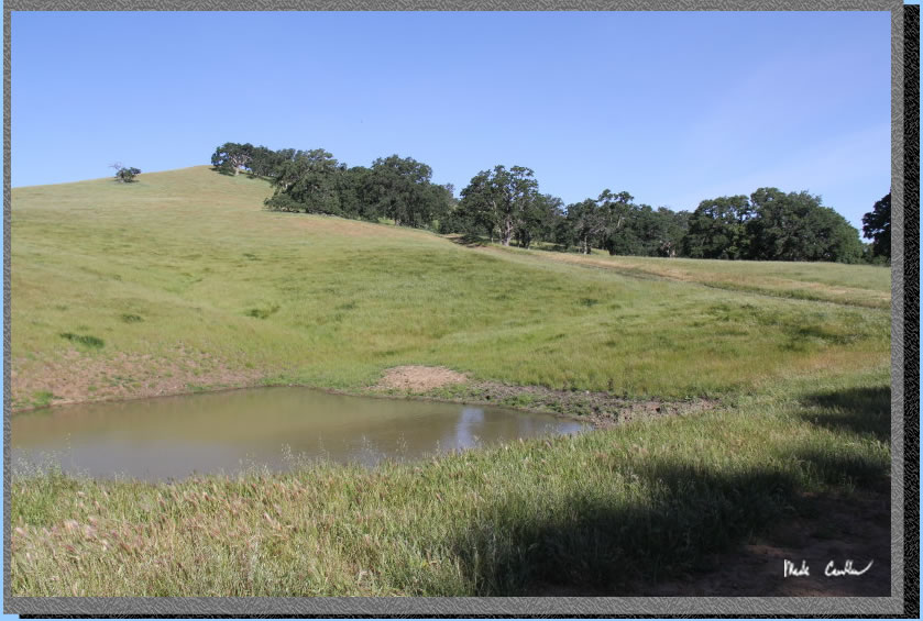
Here is the view of the valley below where the Stewartville Town site once stood. If you have been out here before you can probably point out the camp in the trees near the middle of this shot.
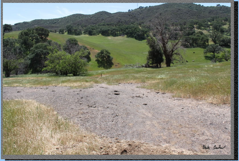
You eventually will run out of down and hit the valley floor. You just need to connect to the Stewartville Trail past the dead Eucalyptus tree in this shot.
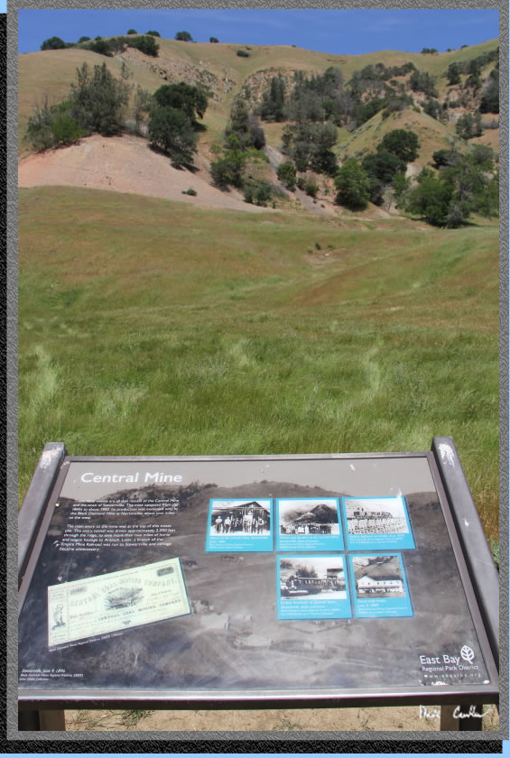
Take a look at the informational sign to see what you have been hiking through on the Miners Trail. Take a left onto the Stewartville Trail to head towards camp.
Sometimes I really want to know what animals are thinking. I am not sure what cows make of backpackers.
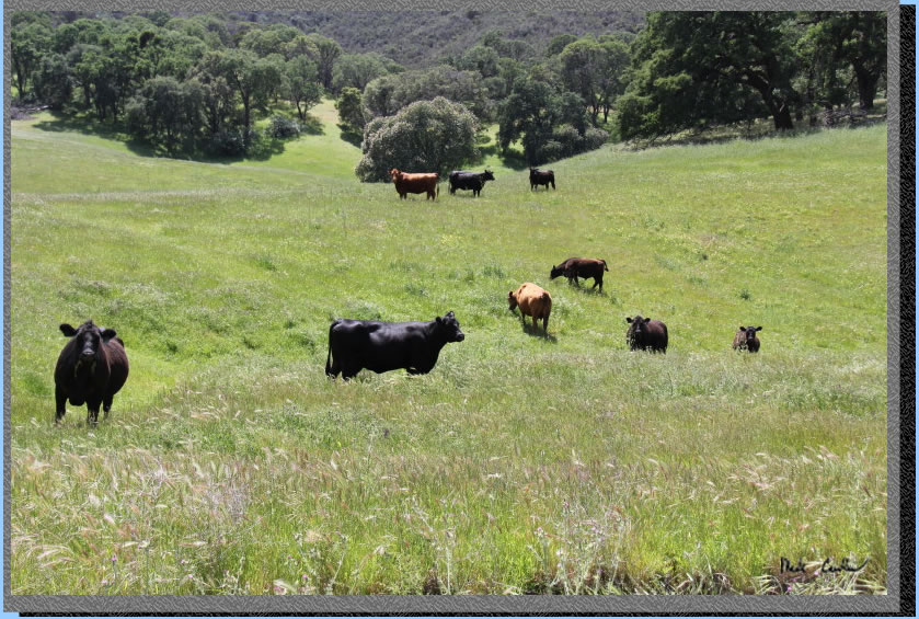
After I asked the cows a few questions I headed toward camp. You can just make out the fence around camp in the image below.
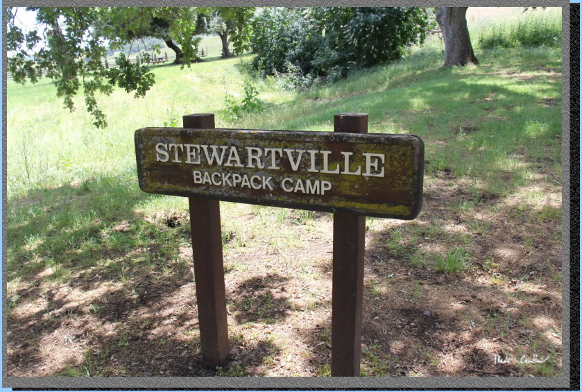
The sign for camp was built to last. It has been weathered enough to make it photo worthy.
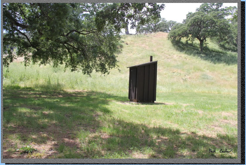
Here is the outhouse for camp. Nothing too fancy, but it was clean and stocked.
I decided to have lunch before I setup camp. The squirrel (that I later named Sunny) was keeping an eye on me. I don't think there are many campers at this site as he was just eating all the normal natural foods and not begging from me.
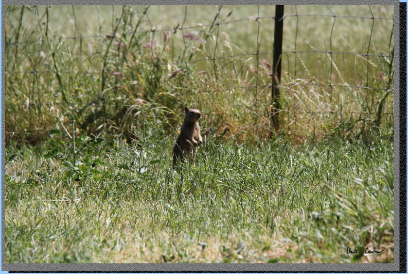
Ok, so here is why I suspect his name is Sunny. He climbed up to the top of this post and faced the sun multiple times. He would just perch himself up there and stay still as a statue for quite a while. Hopefully he wasn't staring at the sun. I should have offered him my sunglasses.
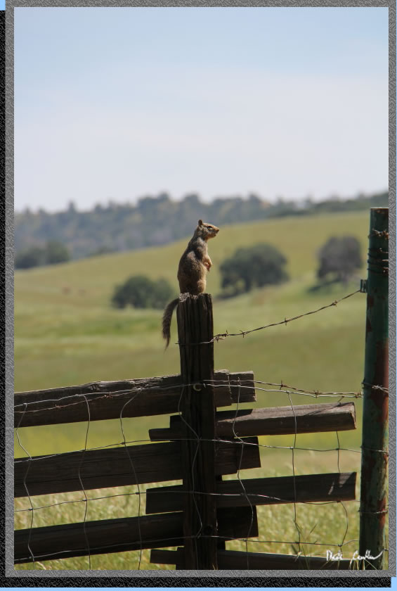
Sunny wasn't the only animal that liked the fence posts. 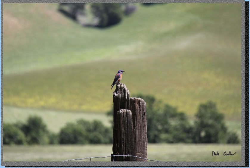
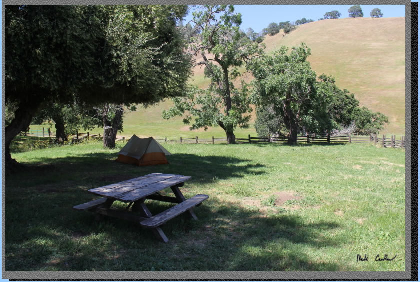
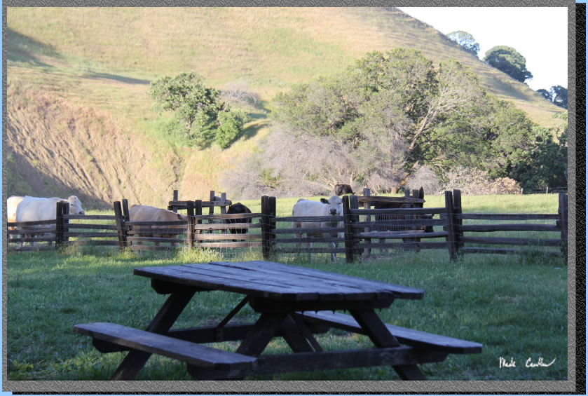
Here is the east side of camp. The water is in the south corner and the bathroom is on the west side. There are three picnic tables all in good shape. The ground squirrels have been busy out here, but there are still many spots for tents. The rangers had told me they recently mowed the site (which made setting up my tent much easier). There is a nice fence that completely surrounds the camp to keep cows out.
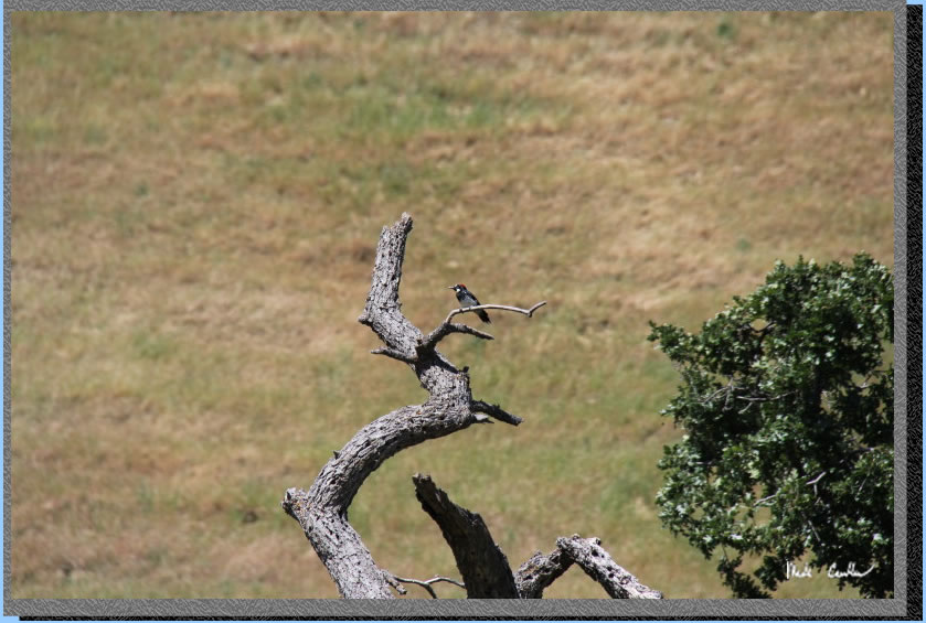
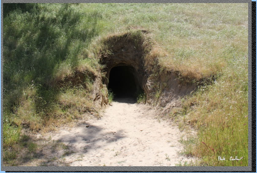
After I setup camp I decided to hike to Prospect Tunnel. I had checked it out once when I stayed at the Star Mine Group Site years ago. To get there continue on Stewartville Trail past both Oil Canyon Trails and Corcoran Mine Trail. When you get to the Star Mine Trail junction take a left. On the way I grabbed this shot of a woodpecker.
Normally I would say not to go exploring caves, especially by yourself. However, this one is left open as it is stable, straight, and barred at the end to prevent you from getting into any real trouble. Do bring a light so you don't trip. Also be sure to duck if you aren't miner height. Notice the lack of any weird lights in image below.
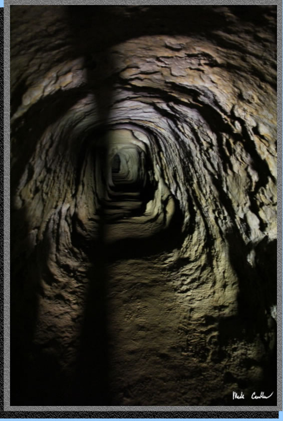
If you can get far enough in and let your eyes adjust you can traverse this tunnel easier. It was warm and muggy in there. I have decided that I would not make it as a miner. This shot was a longer exposure, you can't really see it like this without a flashlight.
This is what the trek out looks like. Head toward the light.
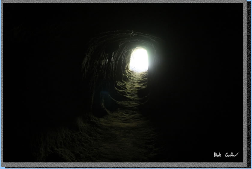
I don't really believe in ghosts and the like. However, I am not sure what the two lights are in the cave in this shot. Maybe some old miners making sure I made it out safely?
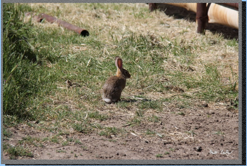
I headed back to camp. There is a corral that is used for the cattle grazing operation out here and this rabbit (and her friends) were using it as shelter to hid under.
That evening was cool and breezy. The cows came by and seemed like they wanted me to let them in. I explained that was not happening. They proceeded to scratch themselves on all the wooden fences around where there once were some trees and on the fence posts all around camp.
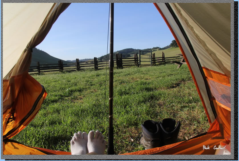
It was windy all night which woke me up a few times. That night I heard some coyotes and owls. I had placed my tent to catch the early morning sun. Here I am as I get ready to head out of the tent.
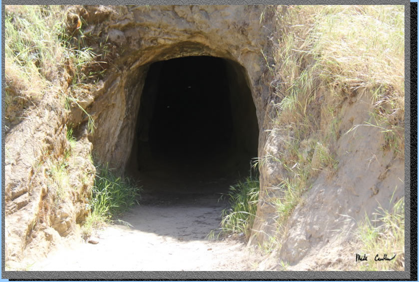
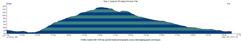
I packed up and headed back toward Prospect Tunnel to meet up with Corcoran Mine Trail. Either way it looked like I was going to be hiking up to get out, so I decided some new route was the way to go. Here I am at the start of Corcoran Mine Trail. You can see it heading up the ridge. This alternate route adds 0.4 mile and a couple hundred more feet of elevation gain.
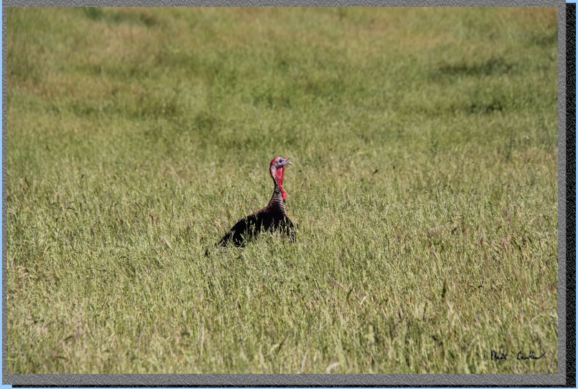
I forgot to mention that in addition to the sun waking me up I had some turkeys out there calling to me. I caught up to this guy on the trail.
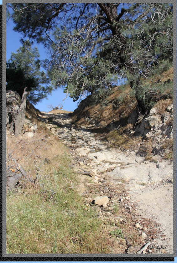
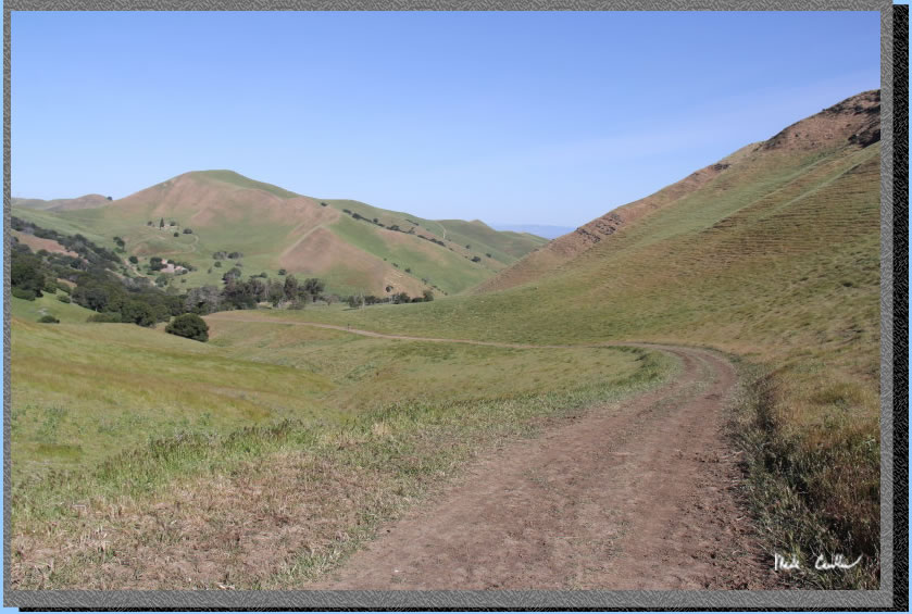
The trail was steep at times and exposed (of course). Here is one of the steeper sections.
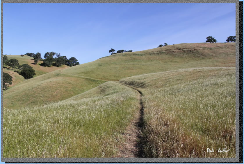
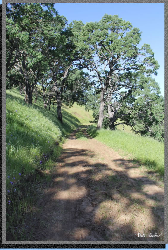
The trail continues to wind your way up to meet the Ridge Trail.
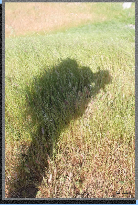
Selfie.
Take a left on the Ridge Trail and continue past the junction with Acorn Trail that heads downhill. Continue to head uphill, do not be tempted by the power of the downhill.
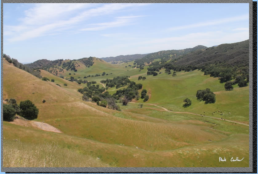
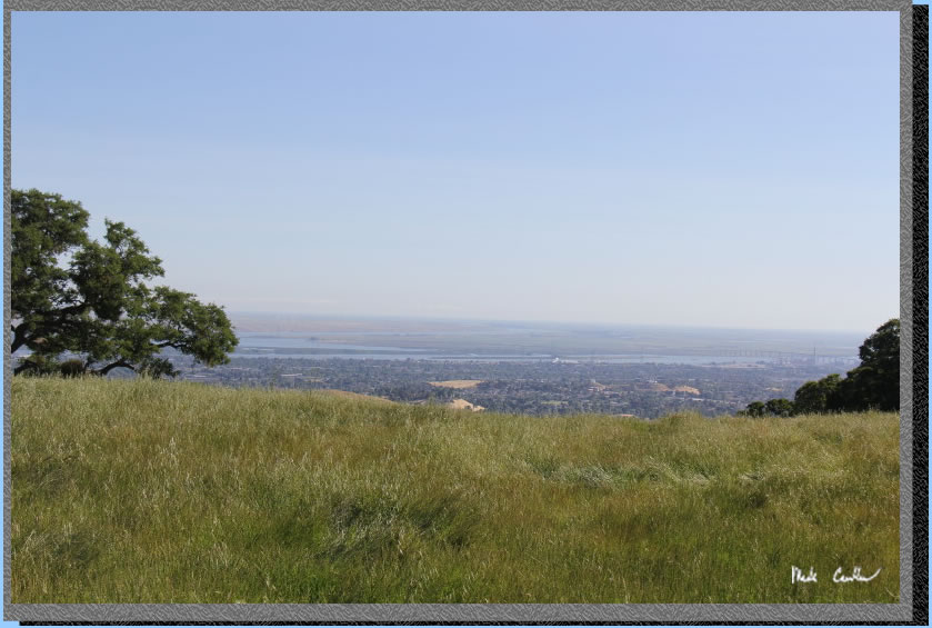
There are some good view to the north of the delta.
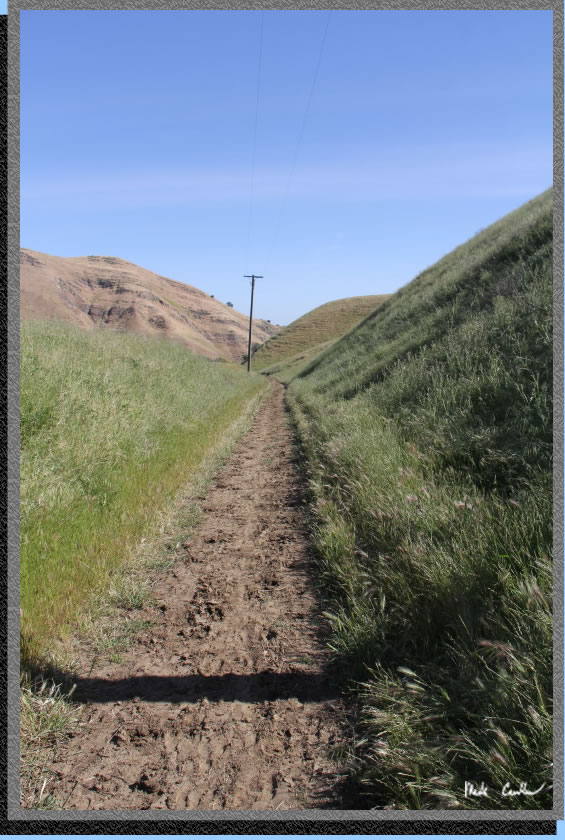
I wanted to be sure to show that there are some flat sections of trail on this route. Not many though.
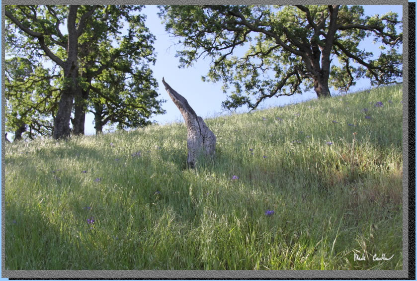
It was very windy on the ridge. In real life the swaying grasses in this shot made it cooler.
Eventually you will run out of uphill and will need to start down toward Stewartville Trail. You get a nice view of Mount Diablo before you head down.
Take a right at the junction with Stewartville Trail to head back toward the parking lot.
The rest of the trail is degrees of downhill.
Here is the last section back on the Railroad Bed Trail. I would recommend this trip only when the weather is cool (or you are at least able to only hike while it is cool). Trails are exposed and the uphill isn't tremendous, but enough to not be fun after 90 degrees. Camp is shaded enough to provide some respite from the warm summer days that are prevalent out here. I will leave you with some shots that did not fit well in the trail description.
If I could paint I would love to be able to create something like this.
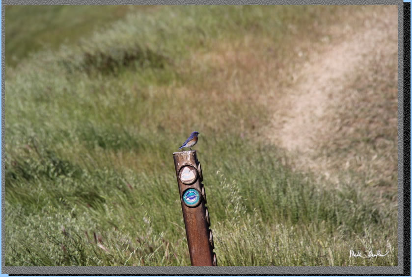
I think this bird was following me on this trip. I saw him on several occasions.
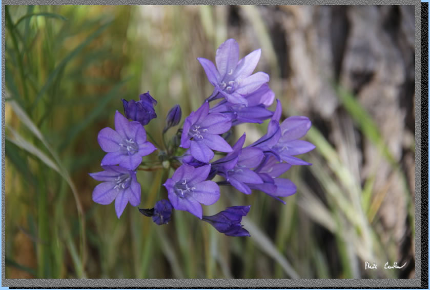
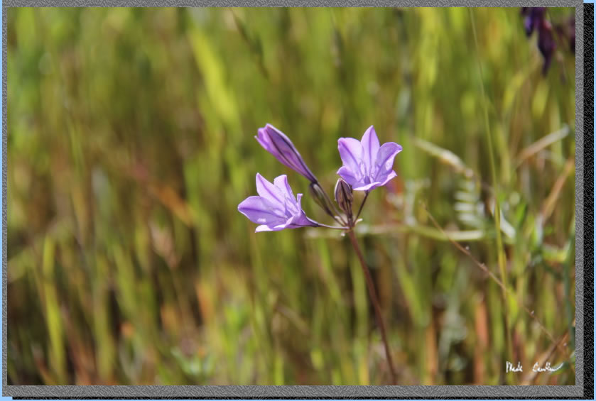
Waiting for the wind to pause was hard on these macro shots.
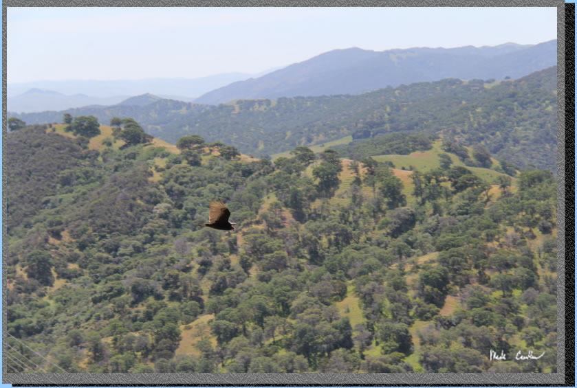
Looking for lunch?
I did a semi-loop hike on this trip. Day one is shown with a green line and day two is the red line. Click on the map or profiles for the larger versions.
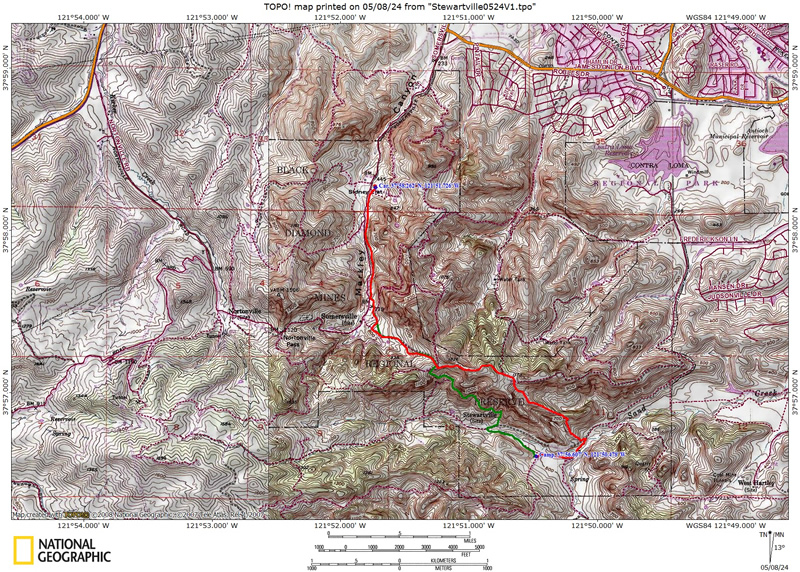
Hike in on Railroad Bed Trail and Stewartville Trail and Miners Trail back to Stewartville Trail (green line on map).
(back
to top)
Hike out via Corcoran Mine Trail to Ridge Trail to Stewartville Trail to Railroad Bed Trail (red line on map).
(back
to top)