





 Permit
- A permit is required and there are five campsites and one group site. You can obtain your permit online from Recreation.gov. Campsite is closed for the winter
Mileage - The hike in is listed at ~1 mile (we took advantage of the extensive trails and hiked ~11 miles). See map/profile below for our travels.
Camps/Water/Bathrooms Facilities - There are trash and bathrooms (pit toilets) at the trailhead. The campsite has a bear locker and pit toilet. There is no water at either the trailhead or camp, so plan accordingly.
Hazards - Poison oak, coyotes, racoons, high tide, errant zeppelin.
Dan and I headed in on this quick one-night trip to Haypress Campground in the Marin Headlands. The trailhead can be reached from US-101 N. take exit 445B toward Mill Valley/Stinson Beach. Continue straight until you can turn left onto Tennessee Valley Road. This road will dead-end at the Tennessee Valley trailhead parking lot. From here, hike on Tennessee Valley Trail to Haypress Camp Trail (on right). The hike from the trailhead to the camp is listed as a very easy 1 mile (we clocked it as 0.88). Trails to camp are along wide fire roads. You could definitely take a wagon if backpacks aren't your thing. Parking was easy for us on a Thursday and still looked good on Friday morning. I imagine weekends could be a different story. We had two party buses drop off some lucky employees for a Thursday hike. Trails were not very crowded besides that large group.
Here is the trailhead. The bathroom and start of trail (where ranger is driving through the gate) are visible below. You can see the Fox Trail winding up the hill in the distance. We took this trail as part of our longer loop. If you goal is to only get to camp you will not hike anything that steep.
We decided to leave the camping packs in the car and do our day hiking first with lighter packs. There are several loop options in the area. Trails are exposed so we were enjoying the cool and slightly overcast day. The trail from the trailhead in the Tennessee Valley Trail and will take you all the way to Tennessee Beach.
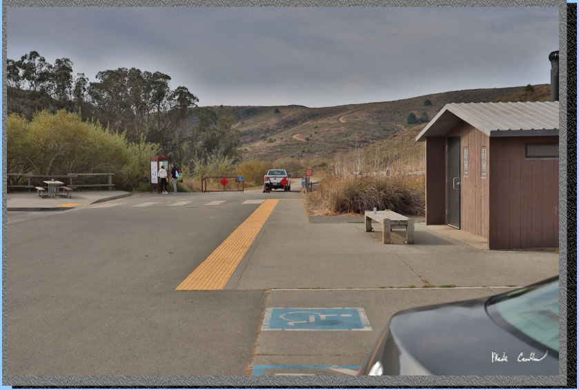
We were honestly surprised how soon we came across the first junction (Haypress Campground). You would take the right here to continue to camp. Trails are well marked with colorful signs. We continues on the Tennessee Valley Trail to the next junction.
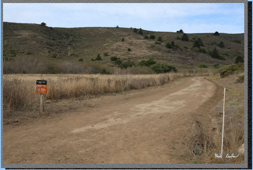
Here is the right turn we made at the junction with Fox Trail. This trail starts climbing fast. Trail remains wide and open.
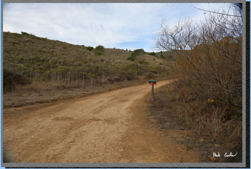
Here is a shot looking back at the trailhead from the start of the Fox Trail. You can see the cars in the trailhead lot. You can also see the trail to the campground.
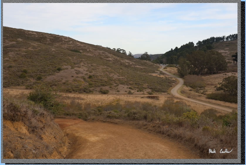
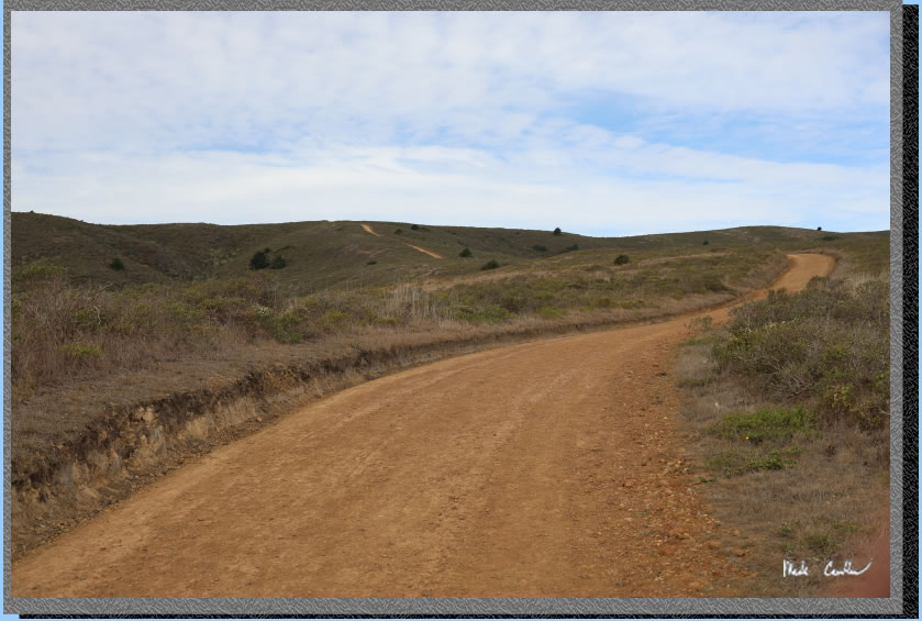
The trail goes up!.
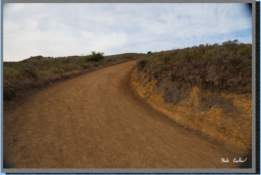
Be sure to look around to see the ocean.
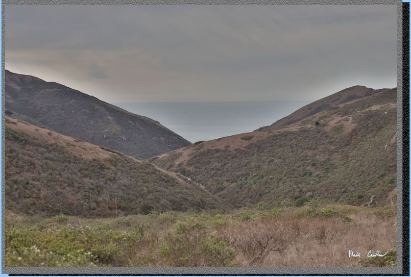
There is not much fear of losing the trail on this type of trip.
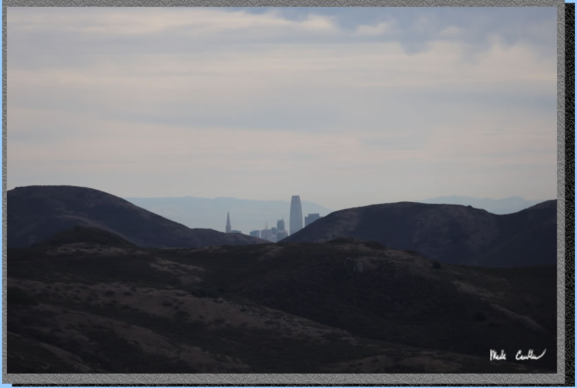
After you gain some elevation look back for San Francisco skyline snippets.
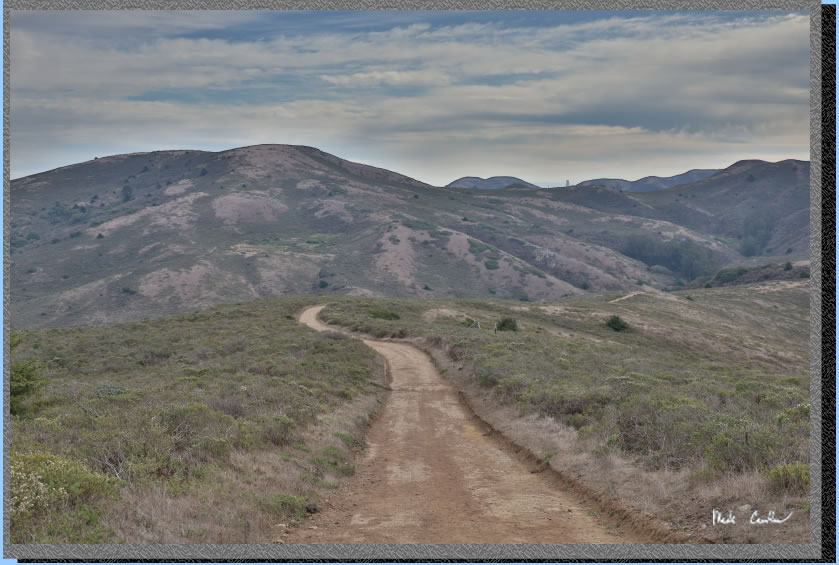
Zoomed in a bit.
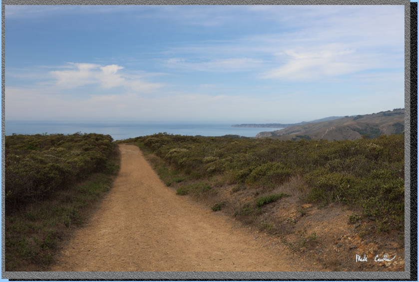
We continued our westward journey past the junction for the Coastal Fire Road on the left. We then quickly arrived at the next junction where we took a left onto the Coyote Ridge Trail toward Muir Beach. You will start downhill now toward Muir Beach and great views to the west. Here is the start of the downhill.
Here is the unmarked zeppelin. I suppose it is more likely a training blimp. However, I am not an airship expert..
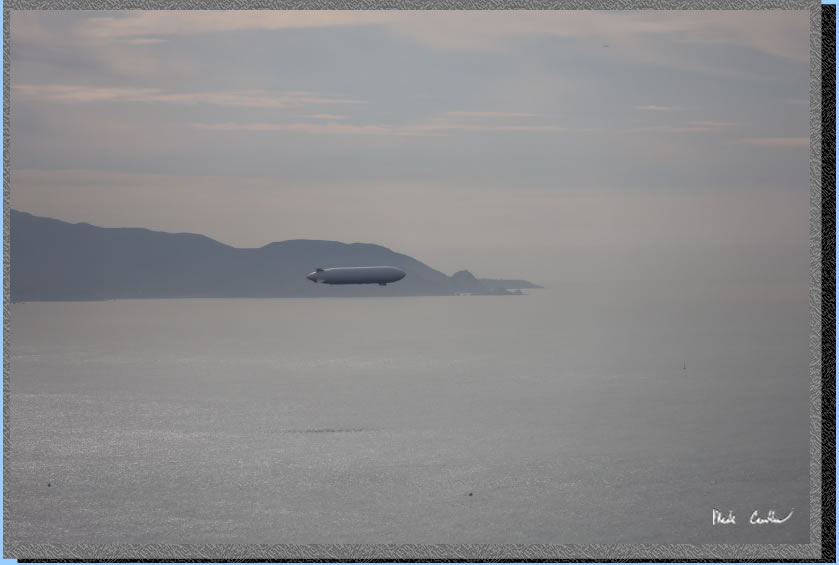
We did not take the trail all the way to Muir Beach. Here is the view of Muir Beach (the beach) and Muir Beach (the town). 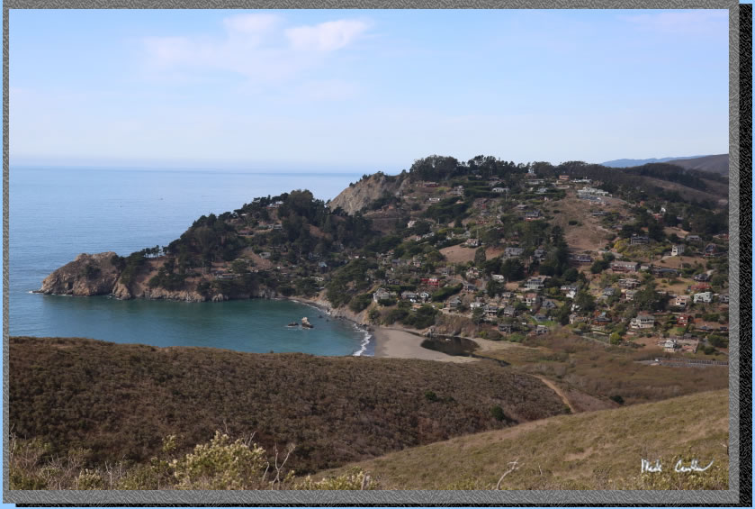
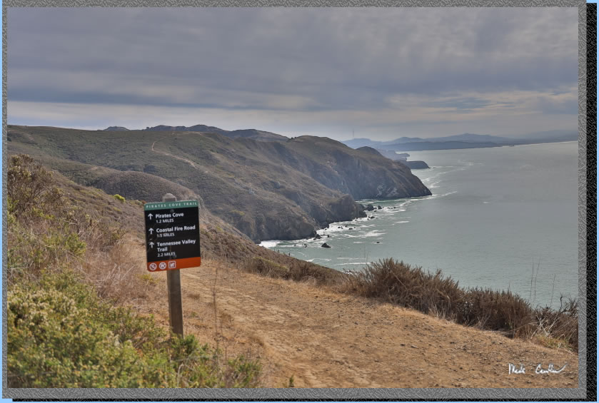
At the next junction we took a left toward Pirates Cove instead of continuing to Muir Beach. My map shows it as the Coastal Trail, but the sign below says Pirates Cove Trail. The trail remains open but narrows to feel like a trail. Great ocean views along this section. It is gentle downhill now to Pirates Cove.
. 
Some of the trails rocky sections. Looks like a lot of work to help with erosion.
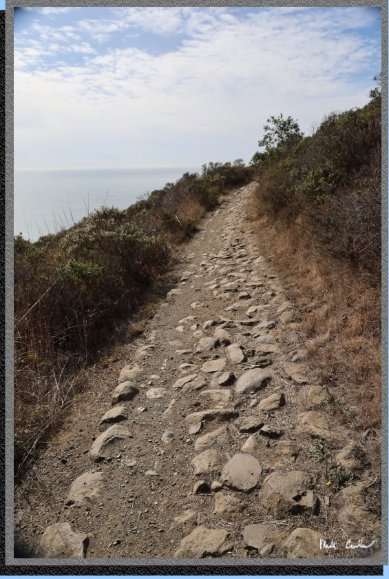
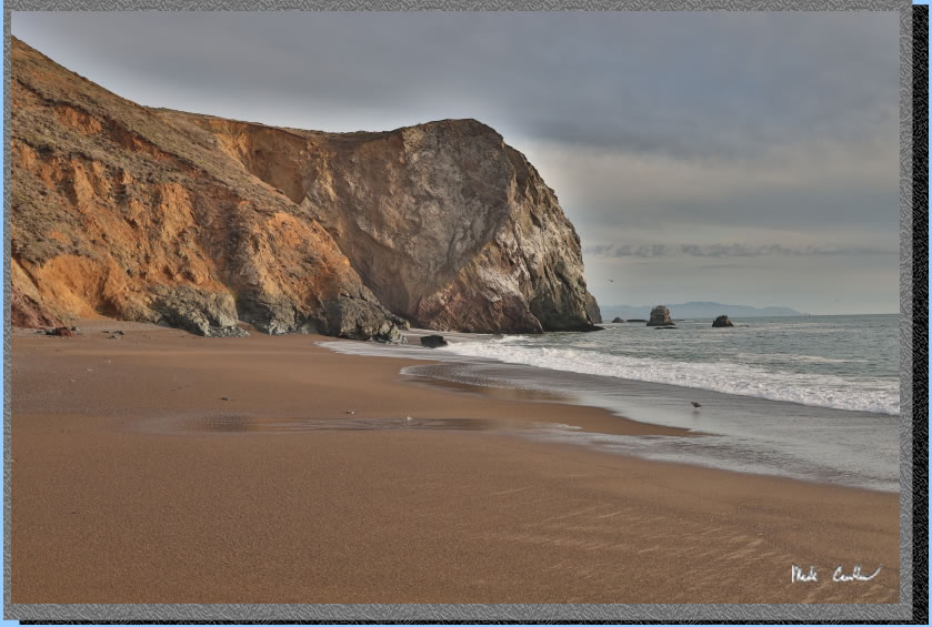
Eventually you will reach Pirates Cove. We had some large tides with +7'. So, there was not much sand to see.
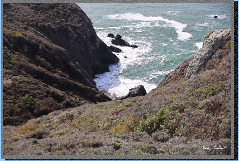
The trail is a little sketchy to get all the way down to the water. We decided to stay on the high ground and just enjoy the crashing waves from above rather than be part of the action up close. Here is Dan working his way down the trail to a good vantage point.
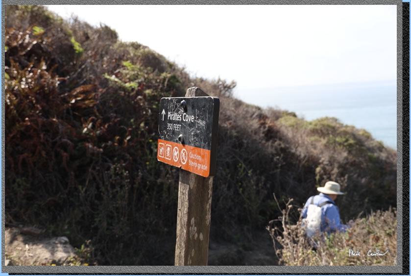
The next part of the trail is steep and uphill with some stairs. Here is Dan working his way uphill.
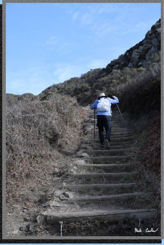
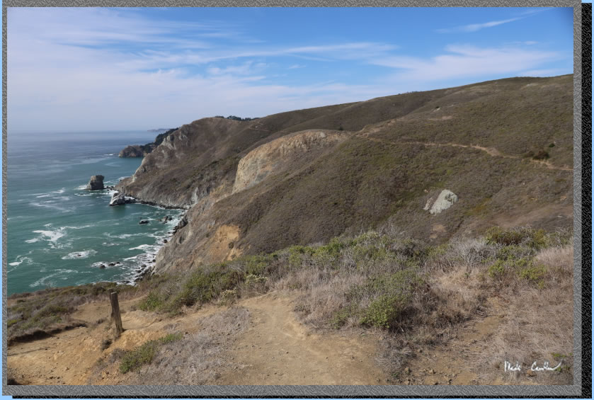
Be sure to stop to catch your breath and see the breathtaking views. There is evidence of the history of cattle out here. There are some old looking fence posts.
. 
The next junction is with the Coastal Fire Road. We continued straight on the Coastal Trail downhill toward the Tennessee Valley Trail.
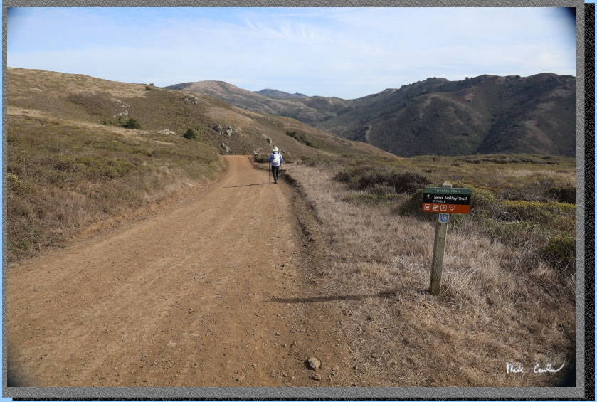
So we made it down to the Tennessee Valley Trial junction and decided to save Tennessee Beach for after we setup camp. From here we hiked back to the trailhead and had lunch. We then packed up the camping gear to take it all to camp.
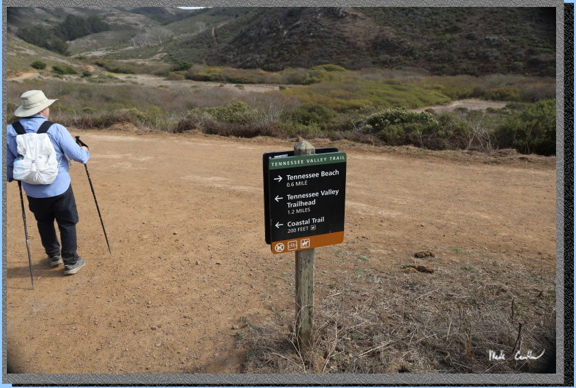
Cool tree on the way back to trailhead.
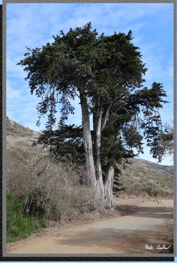
Here we are late in the afternoon now actually backpacking to camp on the trail to Haypress Campground. It is slightly uphill, very slightly.
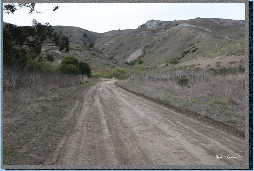
Camp consists of one working pit toilet and an informational board. You hike in to the group camp. Here is the shot looking back at the group camp. Each campsite has a bear locker and a table.
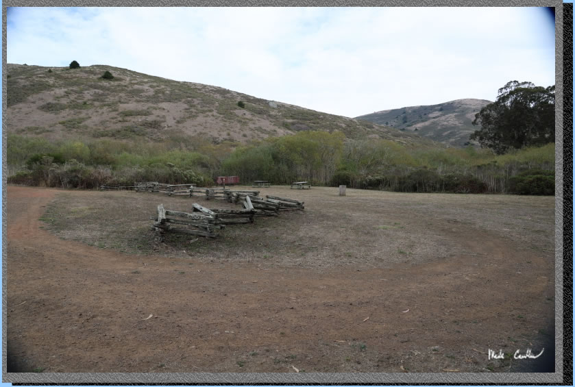
We had sites 4 and 5 (we were not sure on site size and we were supposed to have one more person with us originally). Here is my tent on site 5 and Dan in the distance setting up his tent on site 4. Sites are in a long line with site 1 being the flattest and closest to the bathroom. There is no water or trash so pack in all your water needs and pack out all the trash.
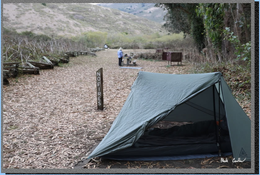
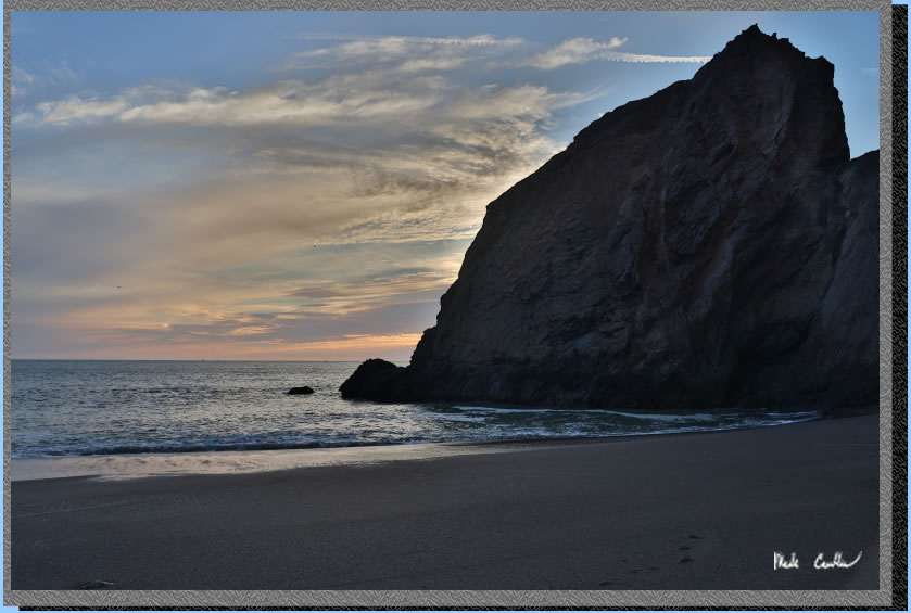
After we finished up setting up camp we hiked to Tennessee Beach. We pretty much had it to ourselves. You can see in the shot below the sun was setting.
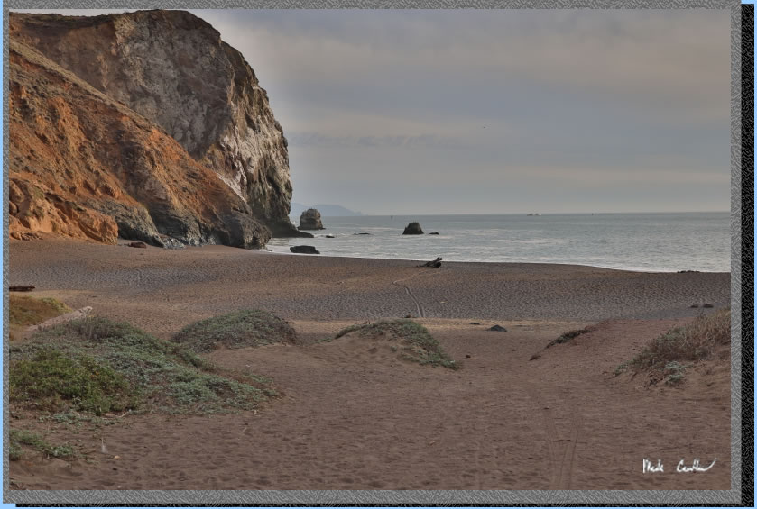
We watched the waves a bit as we waited for the sun to retire. Here is me timing a shot of a rock that was getting pelted with every big wave.
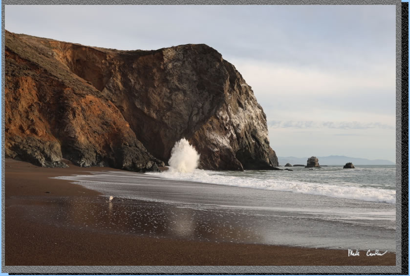
Here is the last of the light looking toward the north side of the beach.
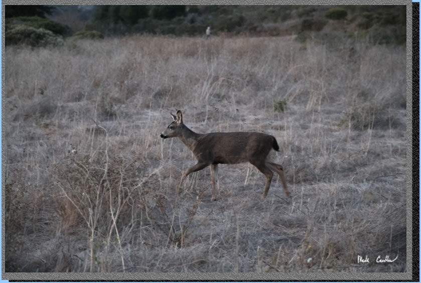
We left the beach before it got any darker and hiked back to camp. We saw this young deer on the way back that did not care we were around. There was a lot of animal activity around camp that night. Nothing too big. We saw some rabbits but I imagine there are others that were in the bushes. There was one other site occupied that night.
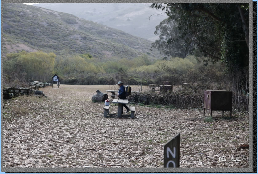
Here we are ready to head out the next morning. You can see the informational board and the top of the pit toilet to the left of it. This would be a great trip to ease them into backpacking. I should mention that the trails are well maintained and poison oak was visible in spots but not a problem if you stay on trails.
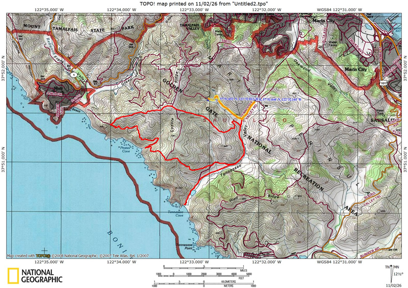
Map shows the loop we did in red (trailhead to trailhead), trailhead to camp, camp to Tennessee Beach and back to camp. I highlighted the portion of the hike from Trailhead to Haypress Campground in yellow (0.88 miles). Elevation profiles below. Click either for a larger version.
.
(back to top)
Elevation
profile from of the loop we did (trailhead to trailhead), trailhead to camp, camp to Tennessee Beach and back to camp.

(back
to top)
Elevation
profile of just the hike from the trailhead to Haypress Campground.

(back
to top)