


![]()
 Permit
- A permit is required for all overnight stays In the Carson Iceberg Wilderness. Permit
must be obtained by visiting a Stanislaus Forest Ranger Station (no fee or quota). You will also need a California Fire Permit for stove.
Permit
- A permit is required for all overnight stays In the Carson Iceberg Wilderness. Permit
must be obtained by visiting a Stanislaus Forest Ranger Station (no fee or quota). You will also need a California Fire Permit for stove.
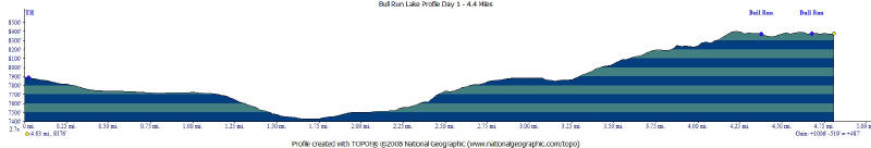
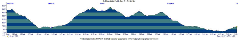
Mileage - The hike in was 4.4 miles (We did a semi loop so day two was a little longer at 7.4 miles). See map/profile below.
Camps/Water - There are several streams but mostly dry this time of year. Named lakes all had water (you will need to treat to drink). There is no water or bathrooms provided at trailhead. There is also no cell coverage at trailhead.
Hazards - Elevation, route finding, Bears, falling trees.
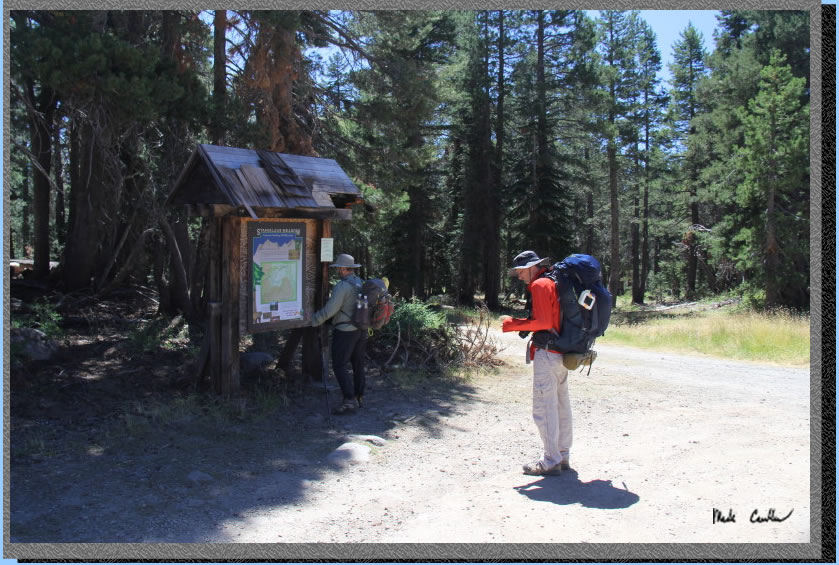
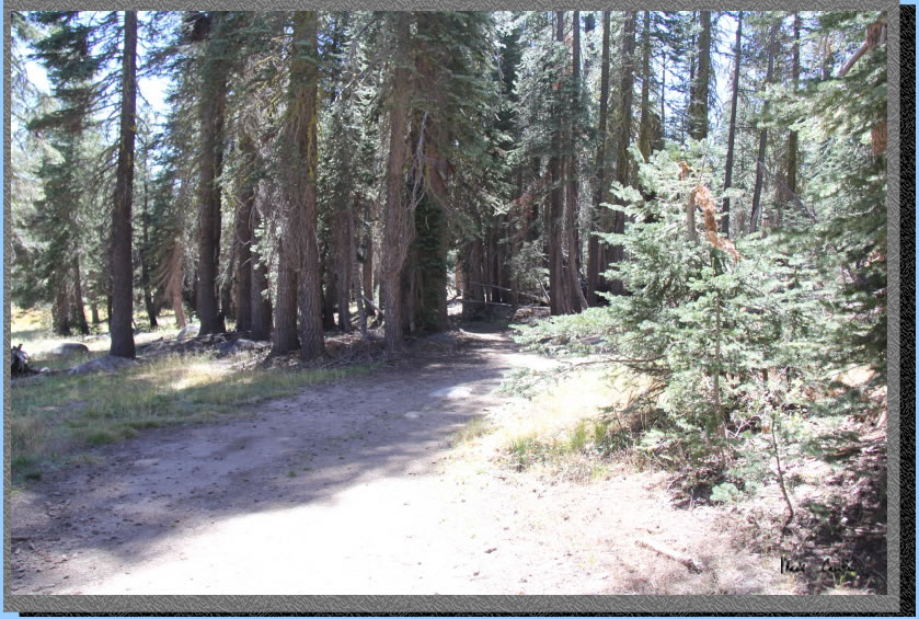
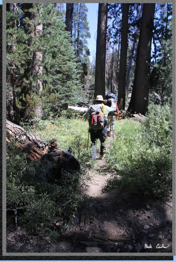
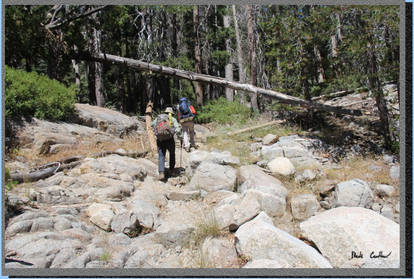
Eric, Dan and I decided to do a two night trip to Bull Run Lake in Carson Iceberg Wilderness (in Stanislaus National Forest). We also went by Heiser Lake and Mosquito Lake one the way out. We obtained the required California Fire Permit and also the required wilderness permit. When we checked in with the ranger for the permit we found out there were no campfires allowed. The forecast was windy and dry and high fire danger. The Stanislaus Meadow trailhead is easy to find off Highway 4 past Lake Alpine. The parking lot is dirt and not very big. We went midweek and there was only a couple cars in the lot. There is no cell coverage at the trailhead. Check out the nice map on the information board of the immediate area (take a picture of it for later use). There are no trash cans or bathrooms or water. Here we are checking out the map before heading down the road to right of sign to start our journey.
. 
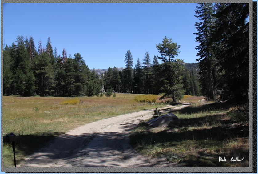
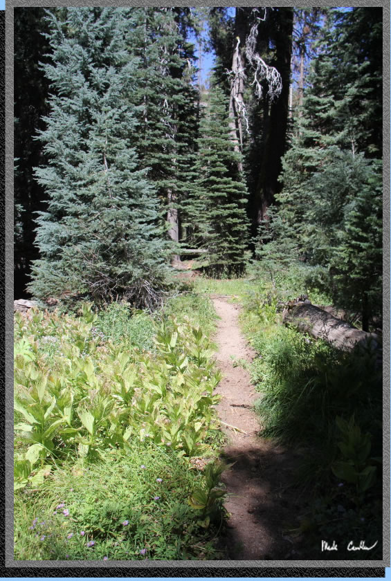
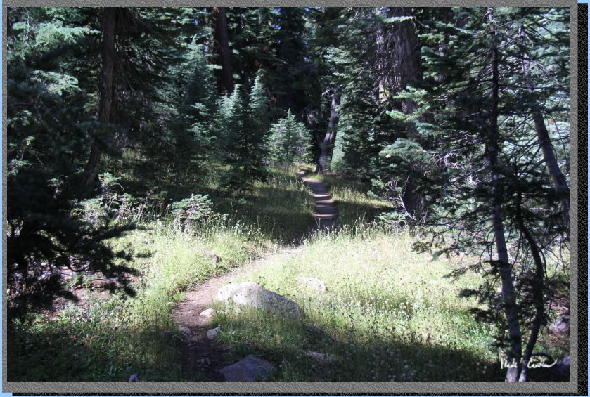
The trail starts downhill and then levels off some in this meadow. There were still some wildflowers on this trip, but I imagine there were a lot more when it was still damp out here.
You will quickly reach your first trail junction. Here is a shot of the narrow trail to Mosquito Lake on the left. Stay right at this junction for Bull Run Lake. Spolier alert - we would end up returning on this trail past Mosquito Lake on the way out.
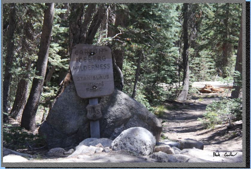
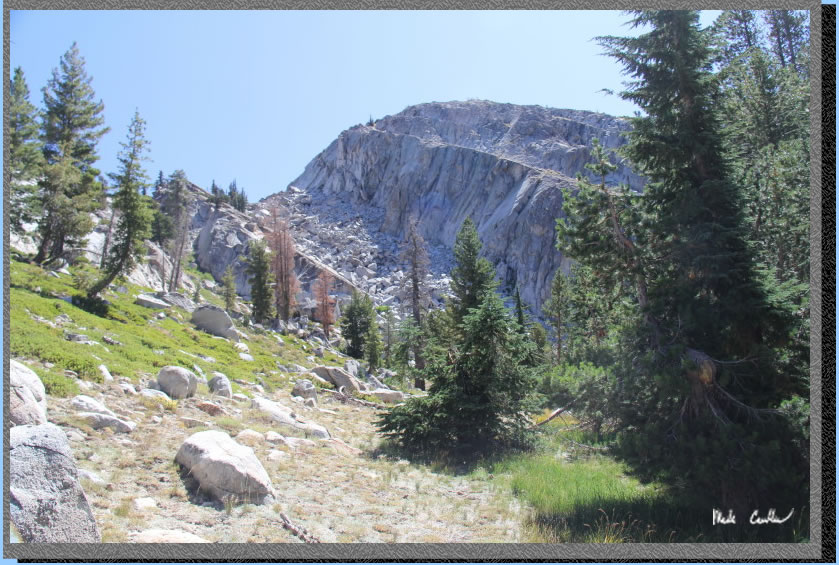
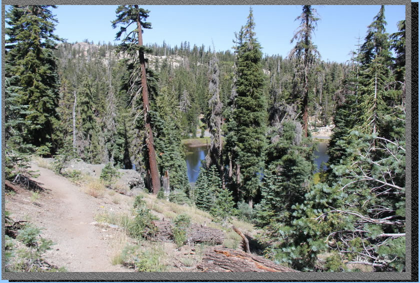
The road eventually turns into a trail that has good cover (and we had a good breeze). The trail remains mostly level until right before the wilderness boundary sign.
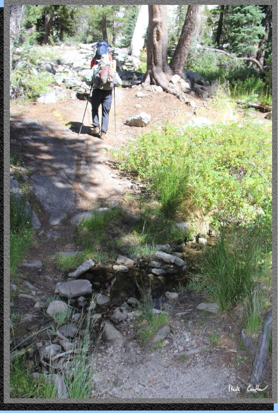
Continue downhill on the rocky trail to a stream crossing. Look for ducks (cairns) to guide your way. There are a few spots on this trail where the route finding involved looking for ducks or blazes in order to stay on the trail. Here is the wilderness boundary sign.
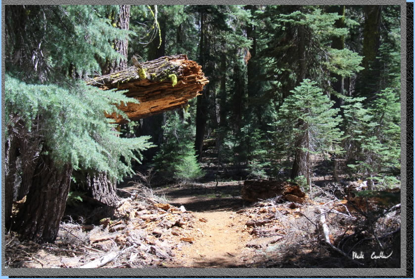
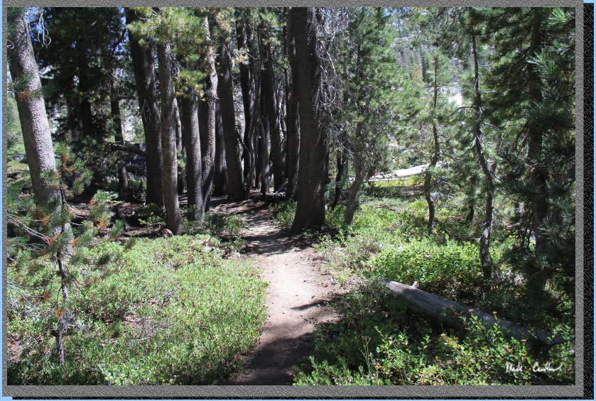
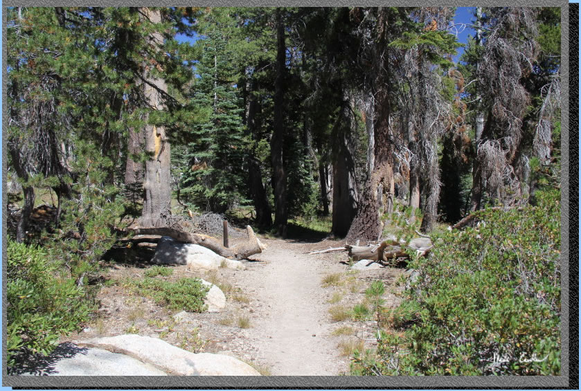
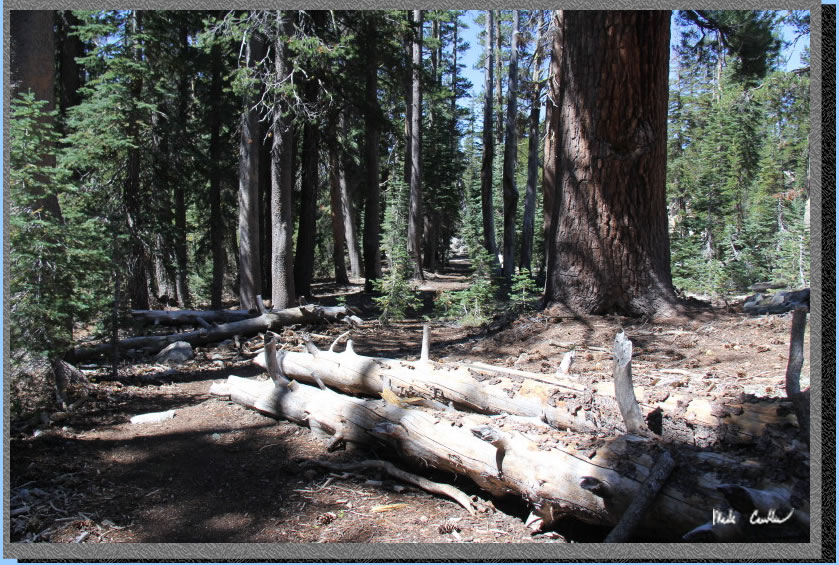
Trail continues through mostly tree cover (with some fallen ones).
After the stream crossing you will start going uphill and trail remains mostly covered.
There are some sections with shrubbery encroachment.
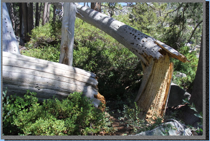
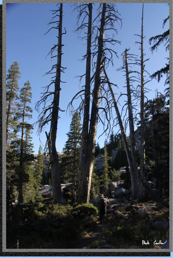
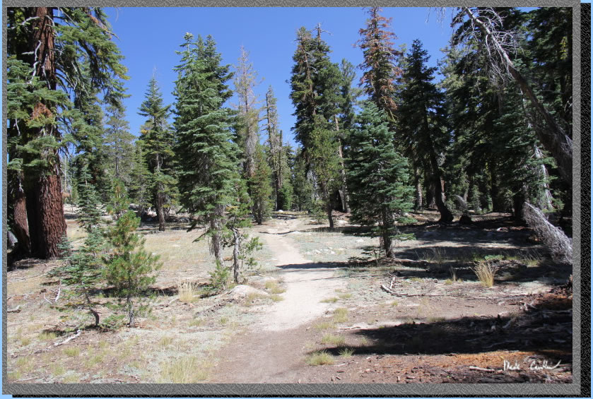
There are many dead trees that remain upright and some that have fallen down. The encouraging thing I saw was all the new trees around. I think the past two wet years have helped some of these trees have a good start.
One of the more damp sections along the way.
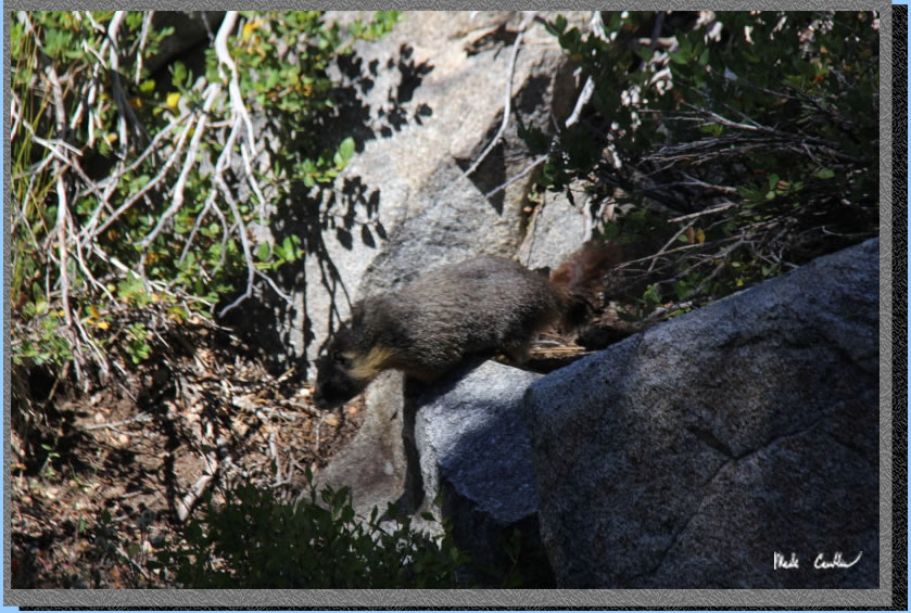
Eric discovered this guy/gal who ran and jumped into its burrow nearby when we approached. I stood still long enough to capture this shot of the marmot returning to foraging duties when it thought we all left. Marmots are cool.
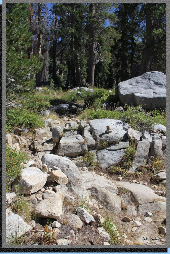
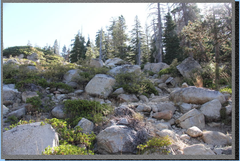
Some of the uphill rocky sections you will encounter. Nothing was too terrible.
I had to take this picture as I imagined that the woodpecker were surprised when he was making holes to have the tree fall down. I know that is not likely the sequence of events but it could have been...
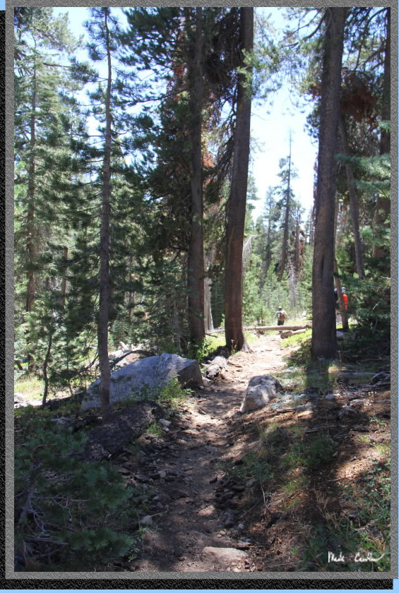
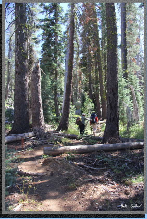
The trail continues mainly uphill though the forest as shown in this shot.
Mr. lizard.
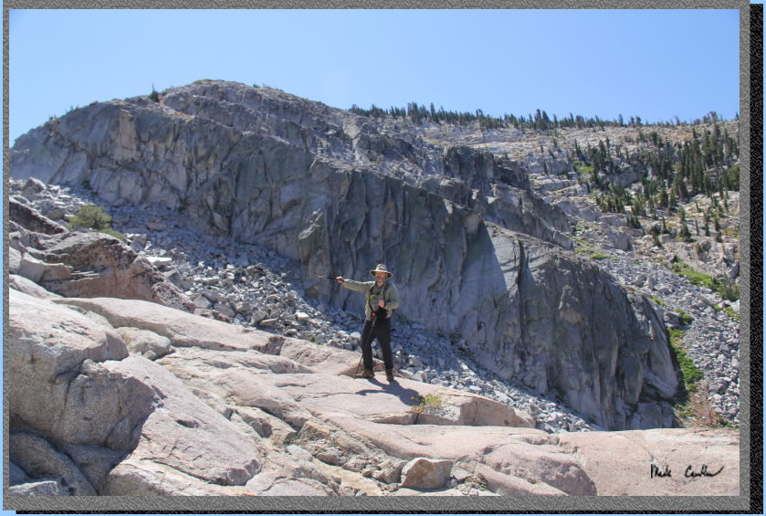
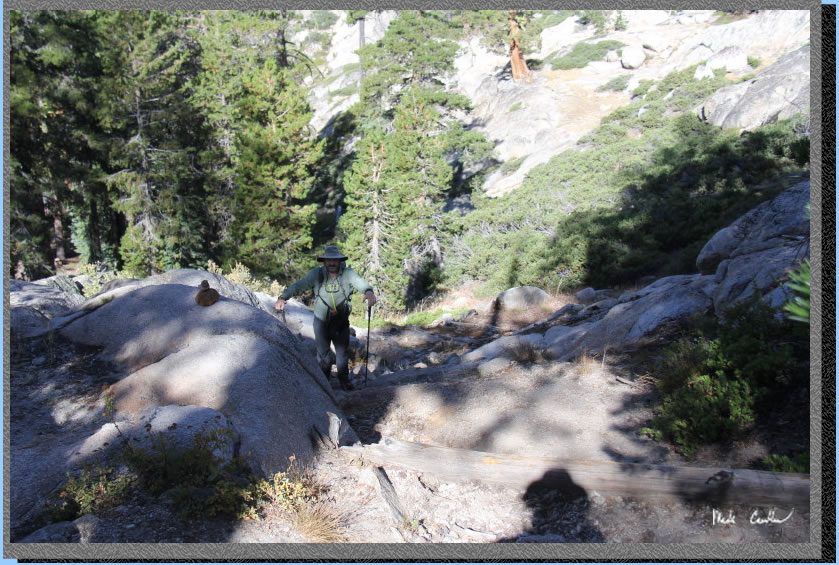
There are a few steep sections. I am looking back here at Eric below me through this rocky section.
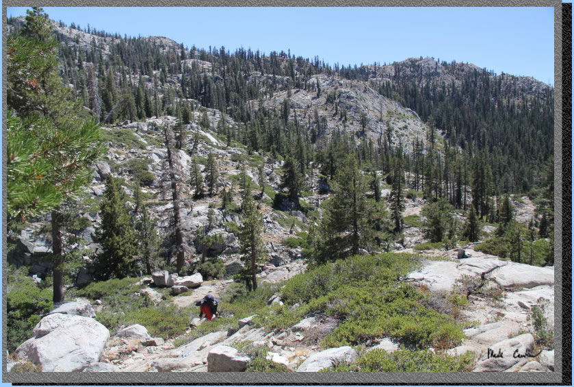
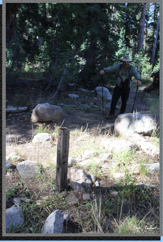
You will come to a junction with Heiser Lake (and Mosquito Lake beyond Heiser Lake). Take a right here to continue to Bull Run Lake.
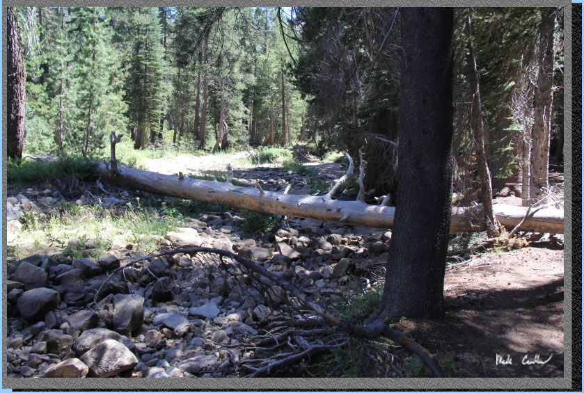
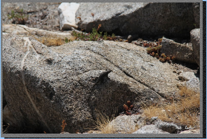
After the junction continue across a dry creek (we rock hopped). I imagine this creek could be flowing well in the spring. Cool rock picture..
Typical trail conditions though here.
Continue uphill to Bull Run Lake. Here is a stream crossing that had a trickle of water.
The steep rocky section right before the lake (see duck).
I tried to convince my friends this pond was Bull Run Lake (it is really close to the actual lake). They have hiked with me enough to realize that I was not serious. You could try it on your group though.
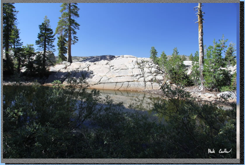
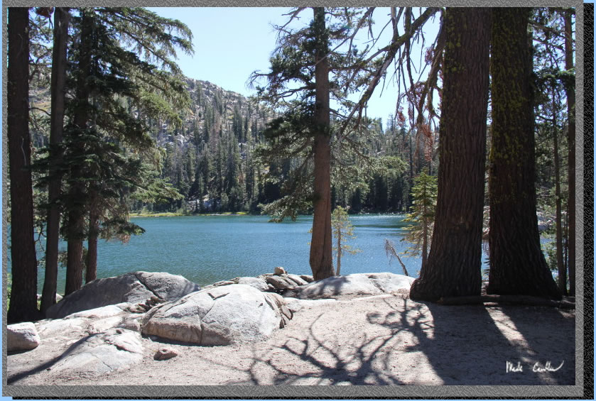
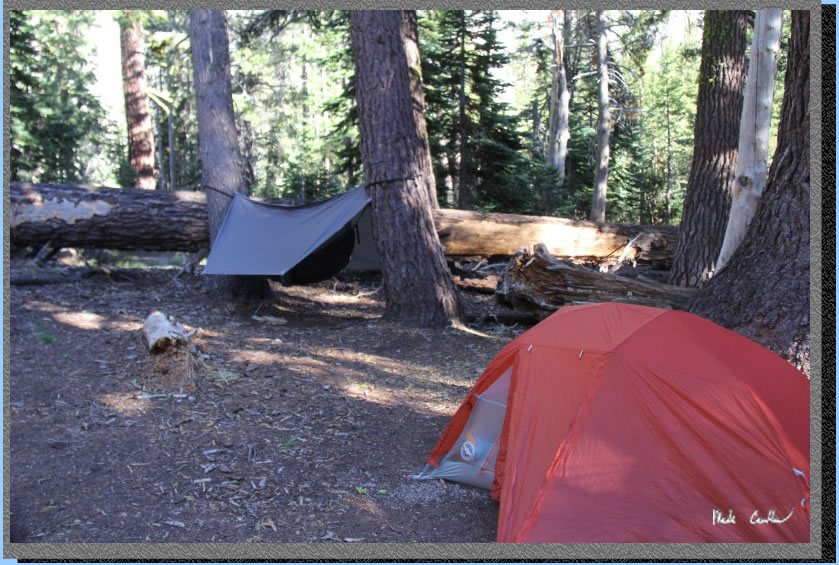
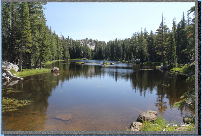
Here is the real Bull Run Lake. The trail dumps you off on the shore and next to some less than legal sites. You are required to camp 100 feet from the lake's edge. This site has some awesome views but was too close to the lake. It turns out that this camp also had a dead tree that was ready to fall. In the middle of our first night a large tree fell in the middle of this site (yes, it made a very large noise). It sometimes pays to follow the rules...
We scouted out this site that was far enough from the lake's edge and sheltered from the wind some with some fallen trees. There were no immediate dead trees around this camp either. Always take a good look around and up before deciding where to sleep. Here we are setting up camp.
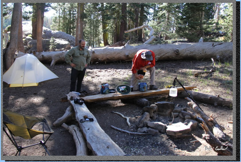
Eric was testing out a new hammock. I was testing out a new air mattress and new tent. All performed well.
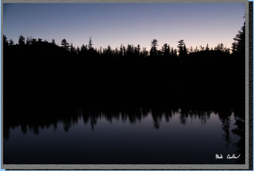
We had dinner on the big rock near camp overlooking the lake. We watched the sun go down and the bats come out. Here is a shot I grabbed just after sundown.
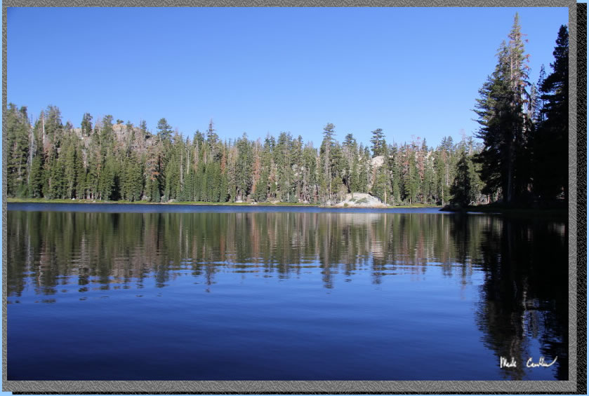
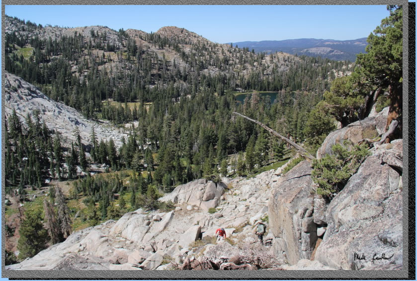
Here is an early morning shot of Bull Lake while the wind was calm (and the fish were jumping). We decided to hike out to the ridge near the inlet and have lunch with a view to the north.
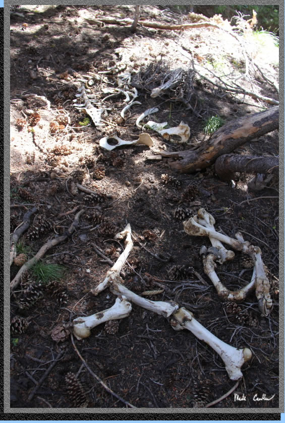
There is no trail and the first things we came across were some really old bones, not the best start.
We decided that hiking left of the boulder field was the safest option.
Here is Dan directing us to the safe path.
It was steep and, at this elevation, it was breathtaking.
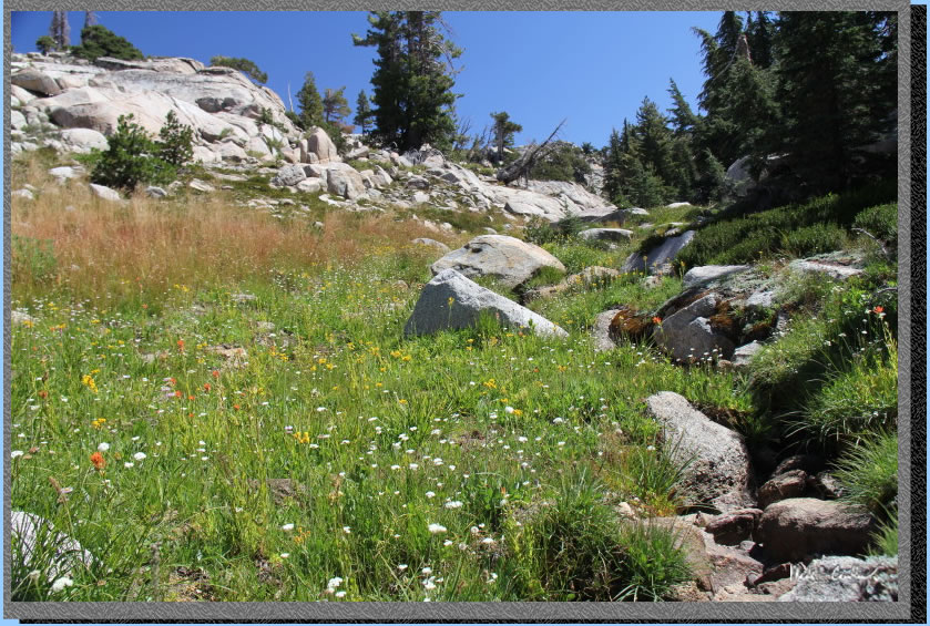
We hiked along a stream toward the top that was feeding all of these wildflowers.
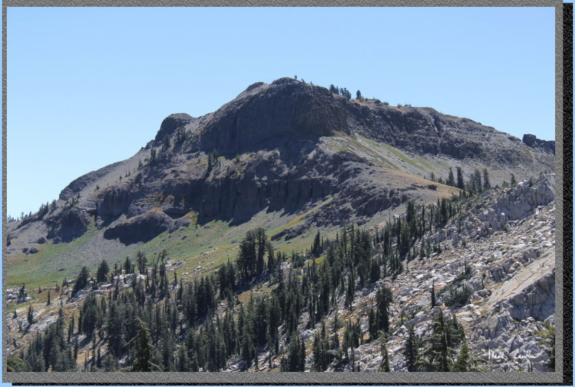
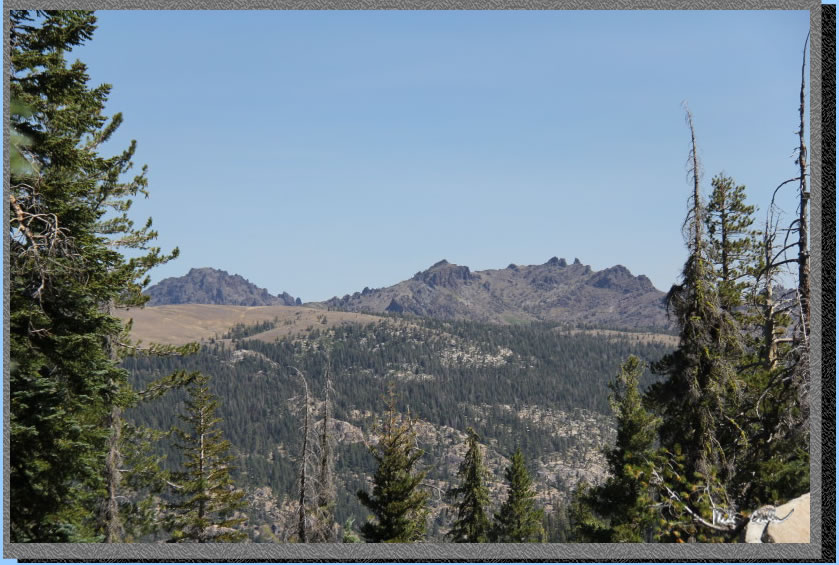
This is Bull Run Peak. We realized that this peak was probably not going to be summited by us that day.
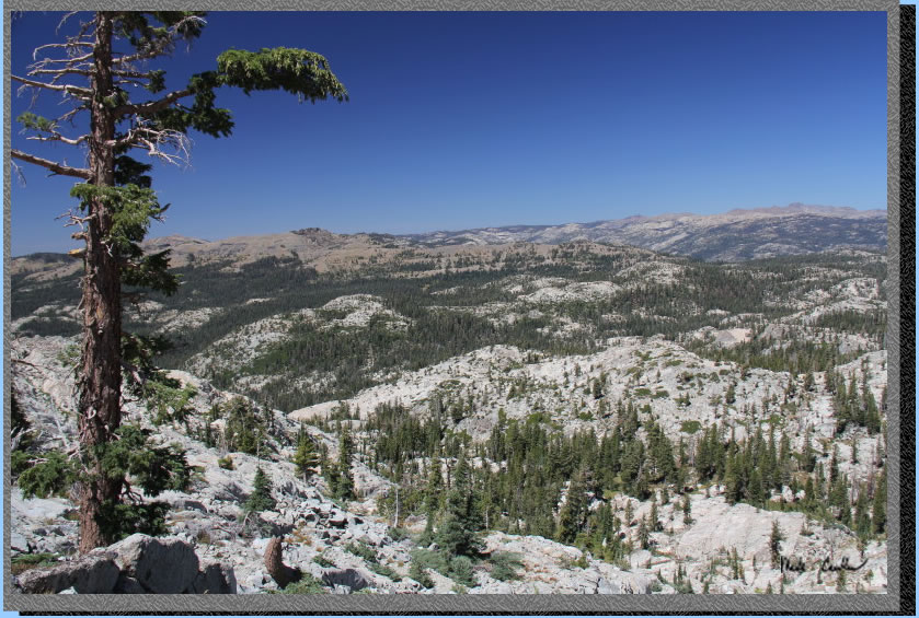
The view at lunch to the north.
We hiked back down to camp and then, after resting a bit, hiked around the lake. Here is the rock formation on the east side of the lake. We had another great night at the lake, no trees fell to wake us up. We decided to get an early start the next day to allow for us to hike the long way out (past Heiser Lake and Mosquito Lake).
.
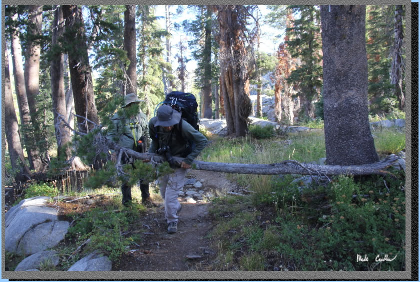
We packed up and headed out. Here is Eric muscling a tree off the trail.
The trail is downhill across multiple dry creeks then uphill right before junction with Heiser Lake. Take a left at the junction to head back to the Stanislaus Meadow Trailhead or a right (for more adventure) and head to Heiser Lake and Mosquito Lake. The trail is gently uphill and mostly covered until 1/4 mile from the next junction, Heiser Lake.
The trail is really steep and rocky right before the junction. Here is the proof.
Here is another view of the same rocky section.
Take a right at the junction to head to Heiser Lake. The trail continues uphill (two steep sections) until right before the lake.
Eventually you will run out of uphill and head down to the lake. This is a shallow lake (at least the parts we saw). We did not explore the east side of the lake. We checked out the lake a bit and then decided to continue back toward the trailhead. The trail is mainly downhill and mostly covered back to the junction with Mosquito Lake where we took a right.
The trail continues uphill for a bit and is mostly covered. Mercifully, the uphill stops and the downhill begins. There are a couple more gentle uphill sections to spice it up. I think this is one of those sections.
The trail is mostly covered but there are many dead trees.
As you get close to Mosquito Lake look off to the northeast to see some of the nearby peaks.
First glimpse of Mosquito Lake.
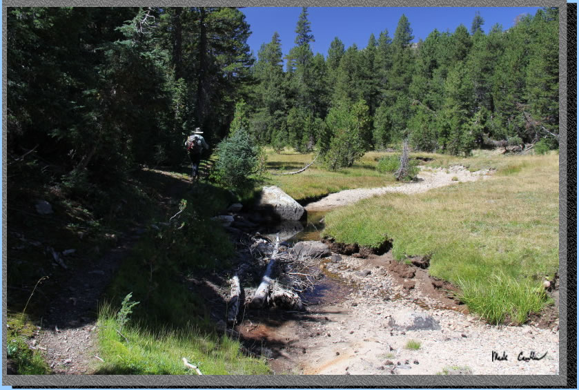
We took a left at Mosquito Lake to follow the mostly dry river drainage that parallels Highway 4 back toward Stanislaus Meadow Trailhead. The trail is gentle downhill and mostly covered. Although the road is close, you do not hear many vehicles as the roadway does not carry much traffic.
The trail showing water in the Stanislaus River.
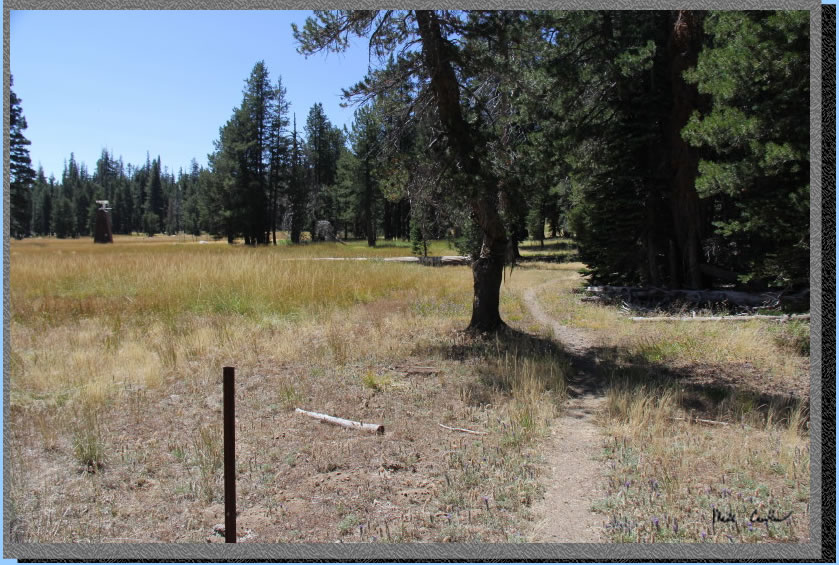
The remnants of a fence (no barb wire between the posts anymore).
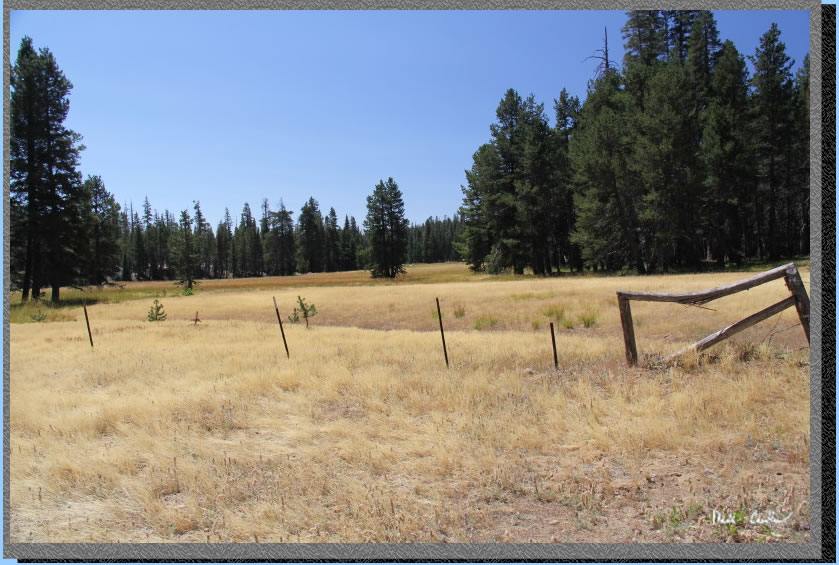
We were were not sure what the little building was out in the field. We are guessing some type of monitoring station. Continue along the trail until you get to the road where you take a right to get back to the Stanislaus Meadow Trailhead. It is uphill from that junction the car. Overall this was a great trip. I could see where some of the stream crossings could be tricky in spring. I will keep Bull Run lake on my list of late season trips. I will leave you with some shots that did not quite fit in the long trail description.
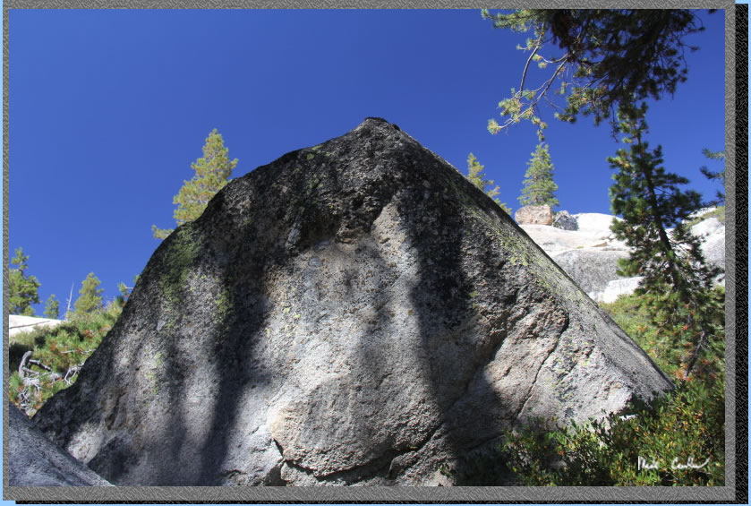
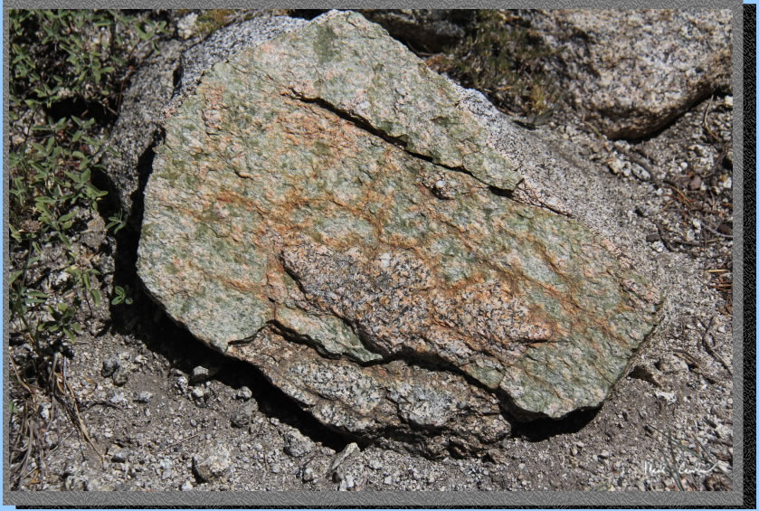
Cool rock.
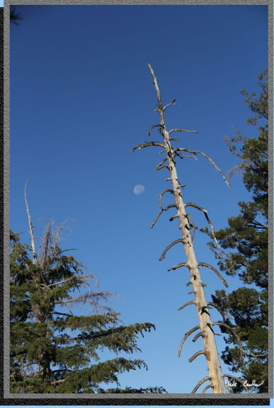
Moon and pale tree.
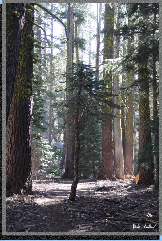
Little tree among its parents.
We did a semi-loop hike on this trip. Day one is shown with a red line, day two (day hike) is the green line, and day three is the blue line. Click on the map or profiles for the larger versions.
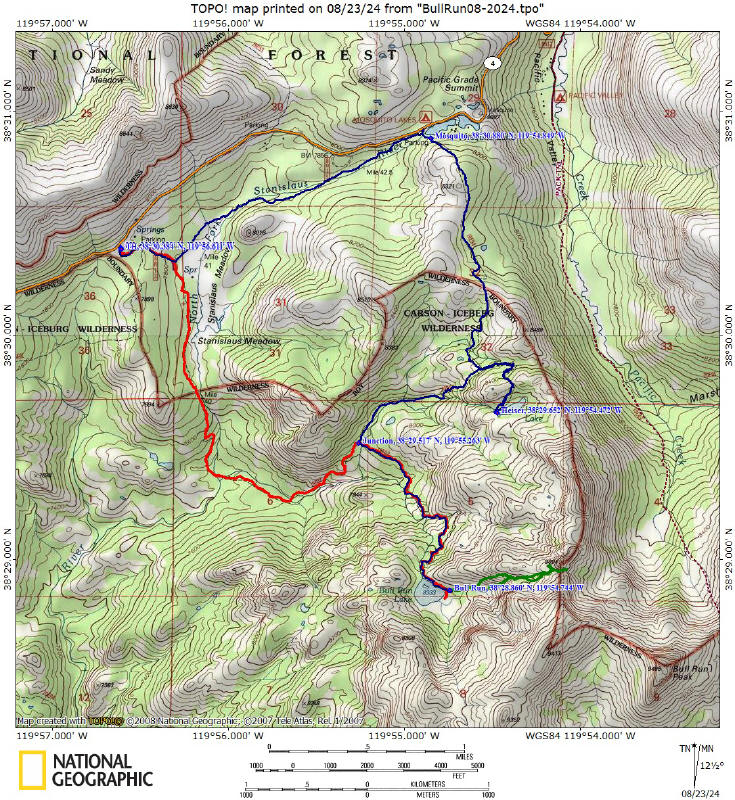
Hike in from Stanislaus Meadow Trailhead (red line on map).
(back
to top)
Hike out via Heiser Lake and Mosquito Lake (blue line on map).
(back
to top)