


![]()
 Permit
- A permit is required for all overnight stays at Round Valley Regional Preserve Group Camp. Permit
must be obtained by calling 888-327-2757 x3. (Backpacking is only an option whenever the group site is not reserved)
Permit
- A permit is required for all overnight stays at Round Valley Regional Preserve Group Camp. Permit
must be obtained by calling 888-327-2757 x3. (Backpacking is only an option whenever the group site is not reserved)
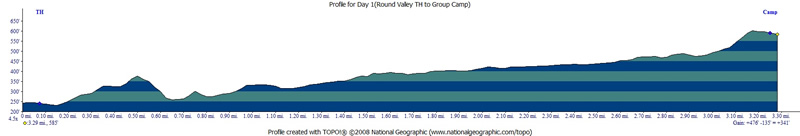
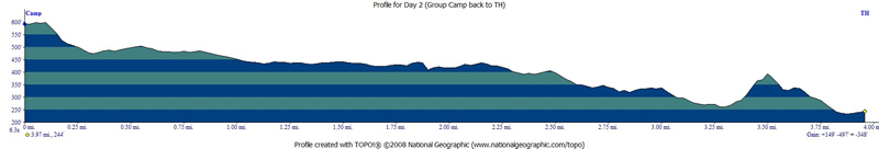
Mileage - The hike in was 3.3 miles (we did a semi loop so day two was a little longer at 4 miles). See map/profile below.
Camps/Water - There is a bathroom (pit toilet), trash can, and non-potable water at the group site. We packed in all drinking water.
Hazards - Trail closures, mice, rattlesnakes, Death Cap Mushrooms, Coyotes, Mountain Lions. Emergency # 510-881-1121 (always check with a ranger ahead of time for current water/trail conditions).
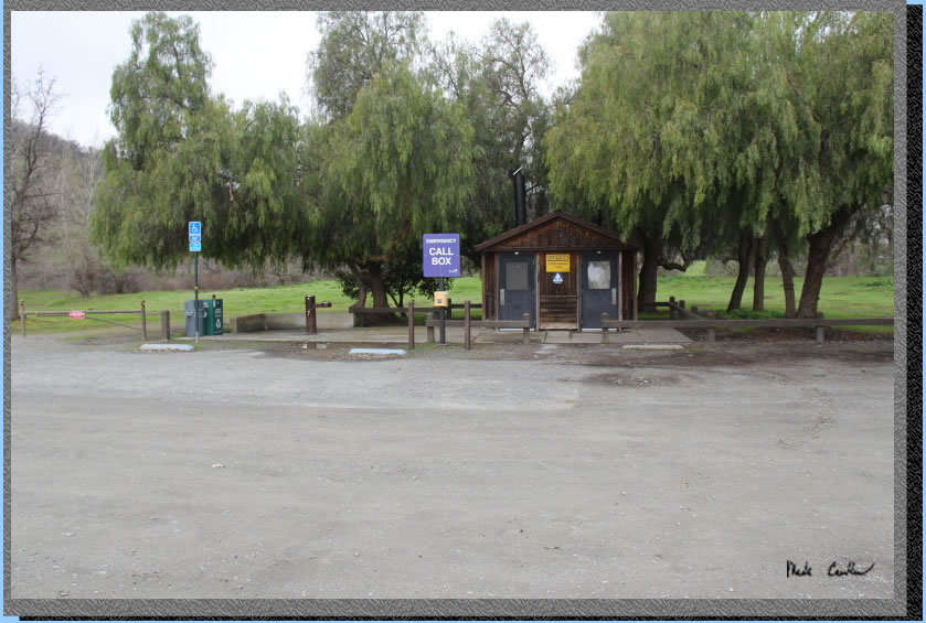
Leo, Dan and I made this trip to Round Valley Regional Preserve after some wet days. We were prepared for mud and nature did provide that for us. However, the mud was not as bad as we thought it would be. The trailhead is easy to find off Marsh Creek Road. We were told by some frequent visitors this trailhead (and trails) can get crowded on the weekends. Here is the trailhead with trash, water, pit toilets and call box. We had okay cell phone coverage at trailhead and the further we hiked the worse it got.
. 
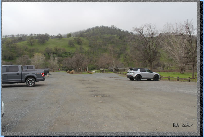
Another shot of the parking lot. The trail starts at the southern end of the parking lot. The longer Hardy Canyon Trail is currently closed due to storm damage. This leaves only the Miwok Trail open which starts over the concrete bridge.
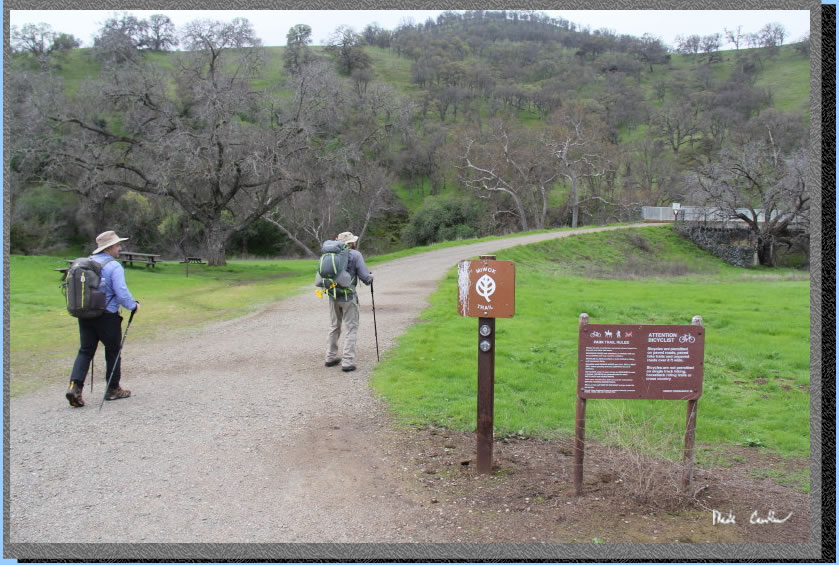
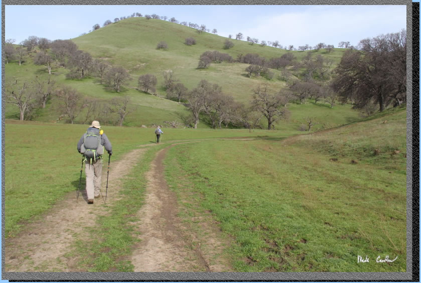
Weather was cool with a slight breeze - perfect for backpacking. Here we are headed toward the bridge over Marsh Creek.
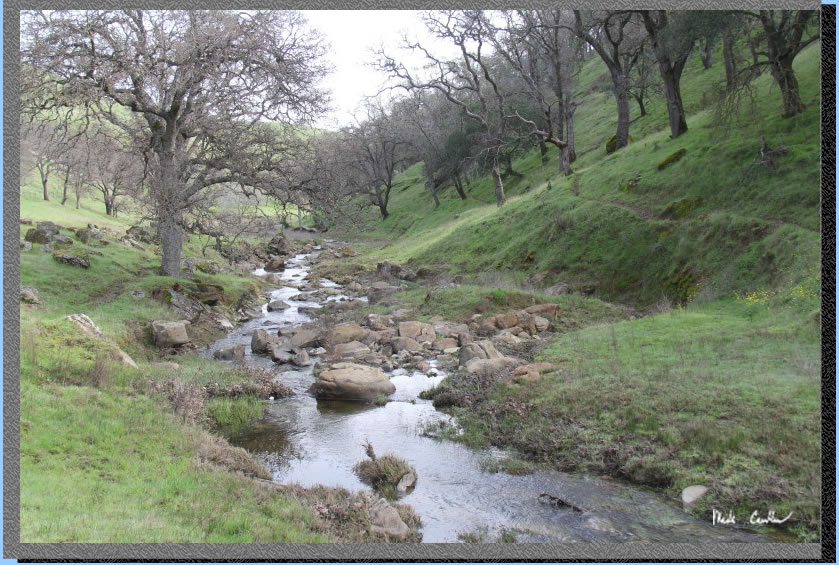
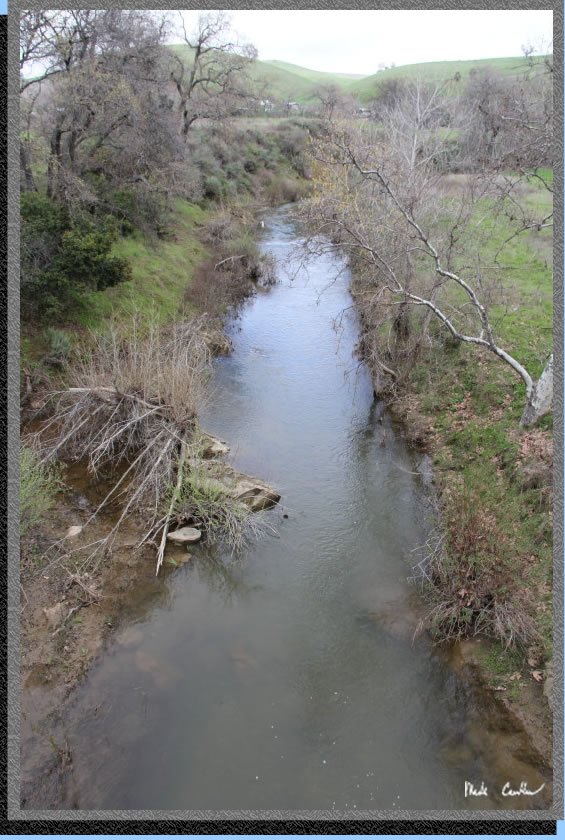
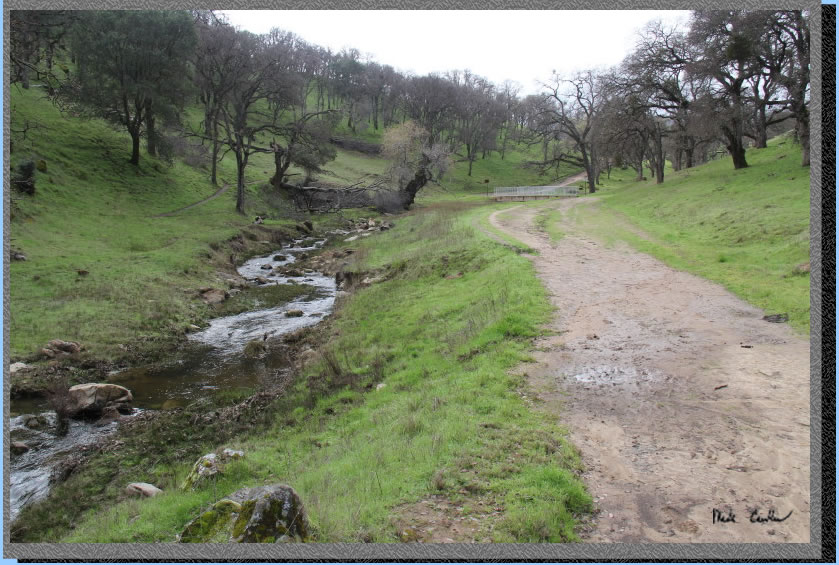
Here is the fast flowing Marsh Creek. Don't expect it to look like this in the summer.
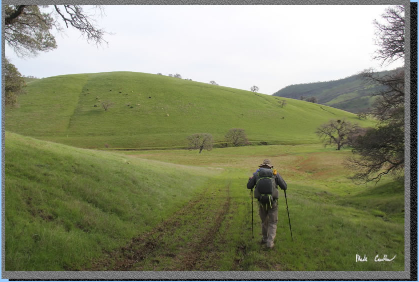
After the bridge is a cattle gate. We encountered many a cow on this trip, so if that is not your thing this is not the trip for you. The trail is hard packed and uphill for the next section. This first section and the very last hill to camp are the only parts where you feel like the trail is significantly going up/down. The vast majority of trail is level/gentle. Here we are headed up on the trail/road.
After the first up and then down (enough to get warmed up) you will see an unnamed junction with a road that dead ends at the private property to the north. There are what looks like the remains of grape vines. Continue to the west and be sure to look back (or make a mental note the trail goes steeply uphill on the way back here). The trail follows the contour of the Round Valley Creek now with several creek crossings. You can see many cow paths through the area.
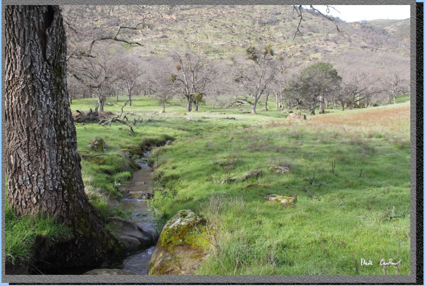
Here is one of the creek crossings (culvert type). There was evidence of some high water at some point not too long ago. Today all the crossings were easily made. I have never been out here before and the trail with the green hills and babbling creek made it feel like it was much farther from civilization than it actually is out here.
We were doing this trip midweek and did not see many other people that wanted to get their boots muddy. We did see the rangers out here with their seriously cool ATV's. They did not offer us a ride, but wished us a good night's stay. This image shows the open trail with another creek crossing (bridge) in the distance.
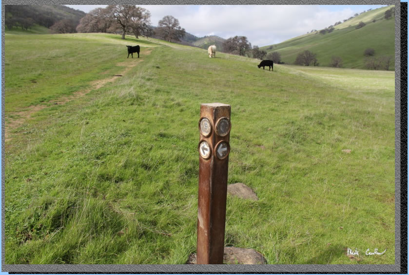
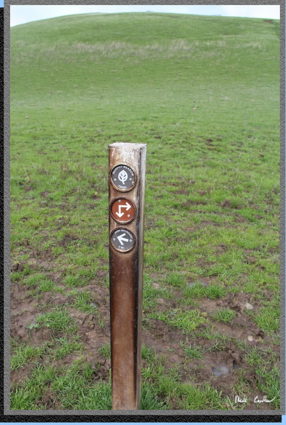
Continue southwest along the trail and creek toward the horse trough/water tank and the first trail junction. Junctions are well marked along this trail. Stay right for the Miwok Trail. Left is the closed Hardy Canyon Trail. You can see the closed sign in the image below.
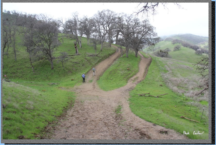
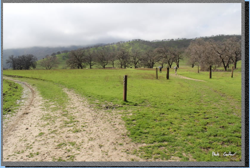
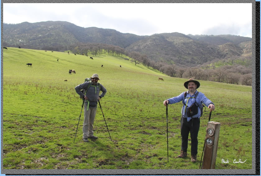
You immediately come across the next junction where we continued right/straight for the Murphy Meadow Trail. The Miwok Trail continues on the left. You can see in the image below Leo and Dan on the Murphy Meadow Trail and me standing at the junction. This is where you can return on the Miwok Trail if you want to add a bit of mileage and make it a semi-loop trip.
We continued west over another bridge over a creek before turning south toward the next trail junction. Trail conditions started to get a little muddier. The cows also became more plentiful. Here is an image of the trail through here. You may have to encourage the cows to moove along...
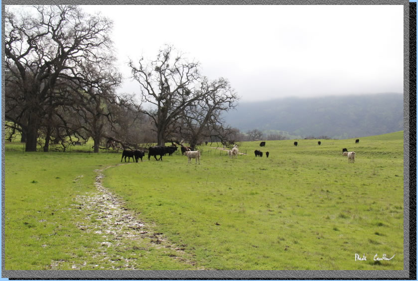
Stay straight at the next junction to continue on the Murphy Meadow Trail. The trail to the right is Fox Tail Trail. That sounds like a good place to get things in your socks in the spring/summer. We decided that this valley must be heaven for the cows. They seemed wary of us, but backpackers do look funny. The image of the junction below is looking back the way we came (kind of confusing). It is easy to figure out in person though.
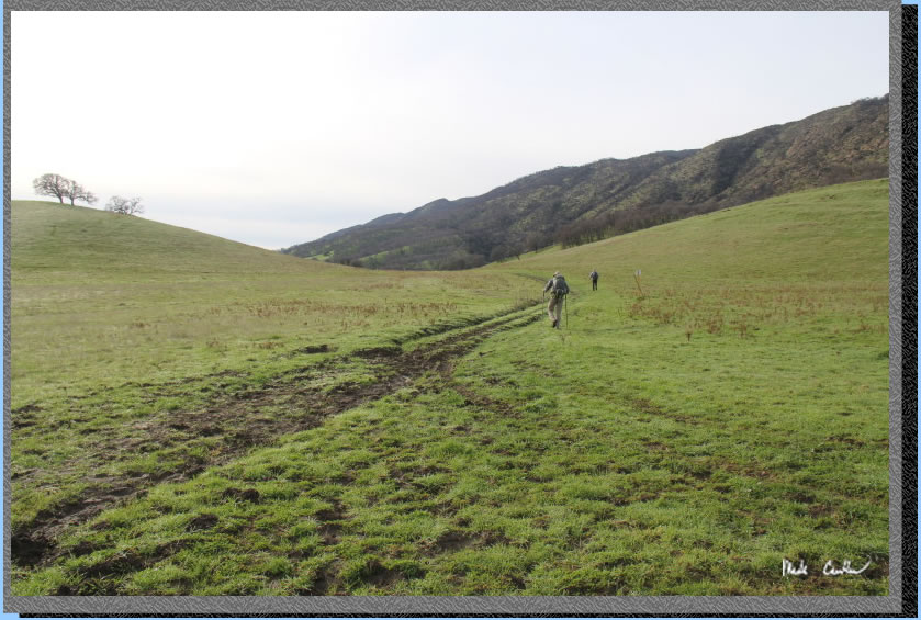
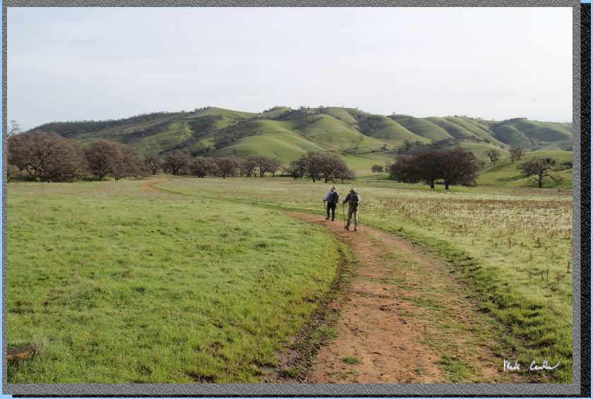
The trail continues southwest through the meadow toward the ridge in the distance. We picked the least muddy spots to walk on. The heavy cows had used this trail before us and did not leave many non-muddy options to walk on.
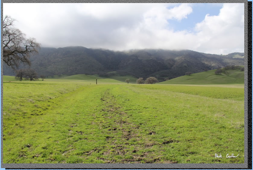
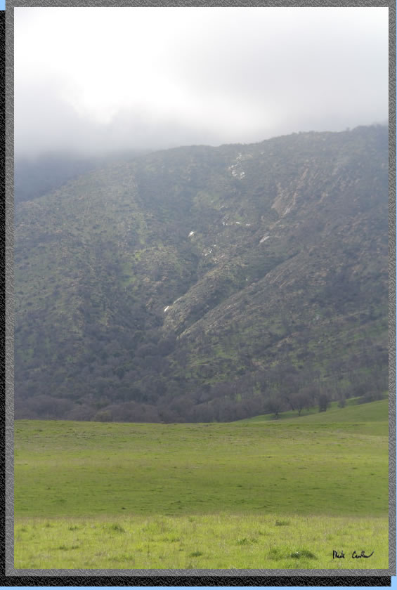
You can make out some water coming off the ridge in the distance in this image.
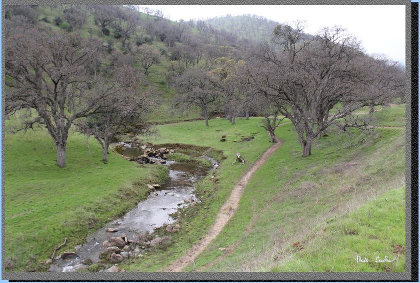
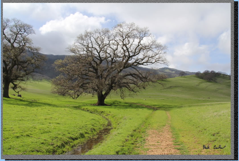
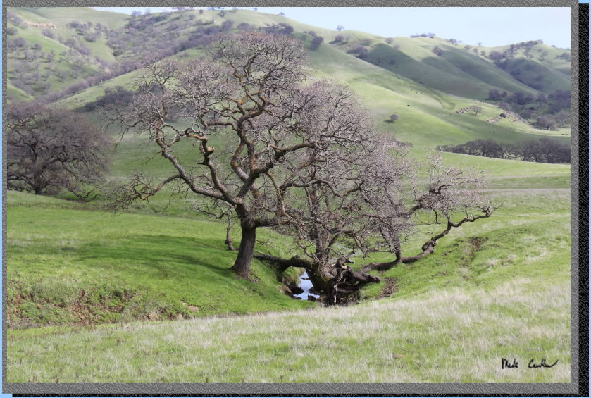
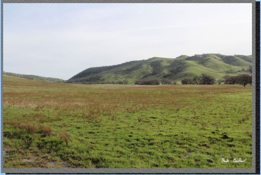
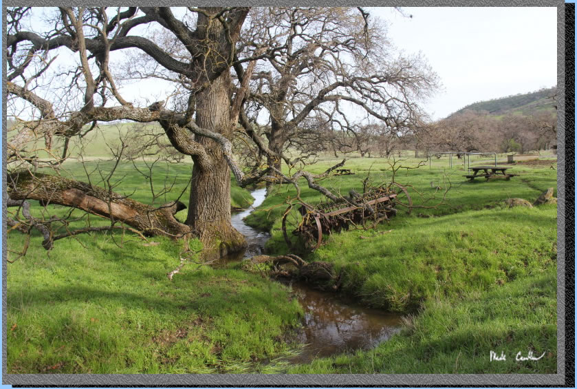
The trail continues along a smaller creek though this meadow as seen in this image. I imagine this mighty tree has enjoyed the wet conditions the last couple years.
You quickly reach the next junction with a trail to the park boundary. Stay left at this junction.
You cross a creek and are at the last junction with the trail to the group camp on the right up the hill. This shot was taken before the junction looking east.
Here are two slightly muddier hikers at the junction with the group camp. You can see we managed to not really get that muddy. I was felling a bit taller than normal.
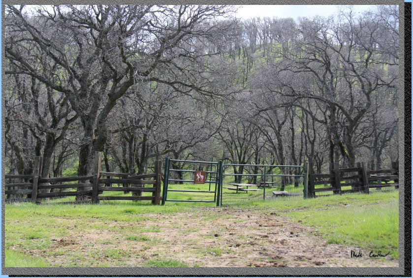
We quickly made it up the hill to camp. Here is the pit toilet at camp. A rather nice one (as far as pit toilets go). The trail passes right to left just below the pit toilet toward the grove of trees around camp.
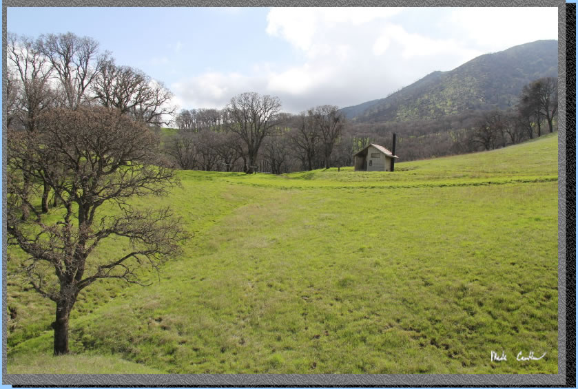
The fencing around camp keeps the cows from wrecking the place. There is non-potable water at camp and some nice picnic tables. There are some level tent sites as well. From camp you can hear the creek and frogs just outside the southern fence.
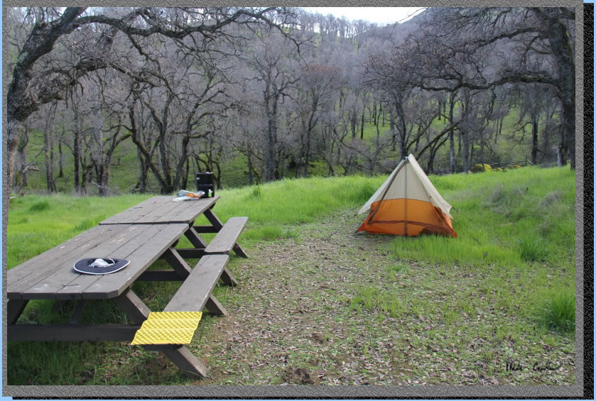
We had the place to ourselves that night. Here is my old tent.
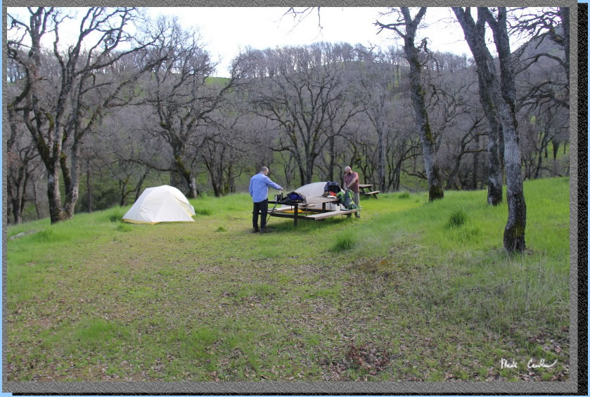
Here is where we actually hung out, next to Leo and Dan's tents. They are part of the Big Agnes club. We had a nice cool evening. Not any bugs (except the ladybugs in the bathroom). There were lots of coyotes and frogs to listen to all night (well the frogs were all night). We heard one Great Horned Owl as well.
. 
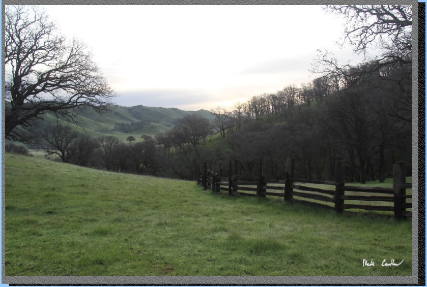
It got chilly that night (below 40 for sure). The next morning started off dewy. I grabbed this shot of the fence around camp as the sun was coming up. We decided to make this a semi-loop trip and continue along the Murphy Meadow Trail to the south on the way out. It adds a little mileage but seems worth it to see some more of the meadow.
We headed down to the junction with the Murphy Meadow Trail and took a right. This shot shows the common conditions out here. Around camp I noticed a few wildflowers starting to think about springing up. I imagine in a few weeks there will be more than just green out here.
Here we are headed south along the Murphy Meadow Trail.
Round Valley. Overall, the route out was less muddy than the way in.
The trail remains mainly level to the creek crossing. Stay left to remain on the Miwok Trail and right sends you into the Los Vacqueros Watershed. Junction is well marked.
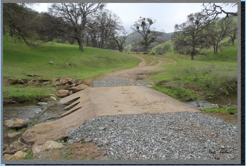
The trail turns northeast now toward another horse trough/water tank and picnic table (at another creek crossing).
Here is the creek crossing with some more abandoned farm equipment.
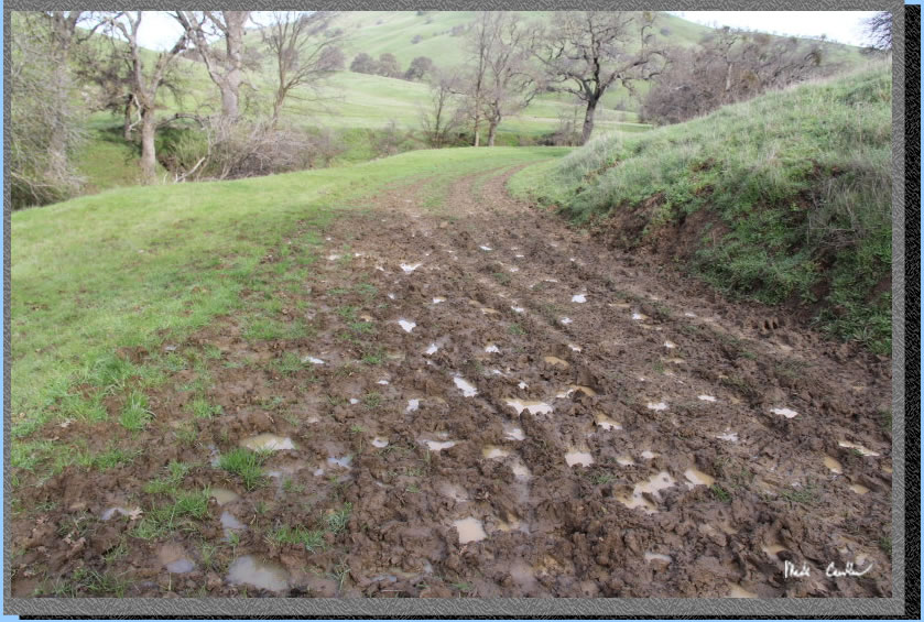
I had to take a picture of the muddiest section of trail. Thank goodness this was a short section.
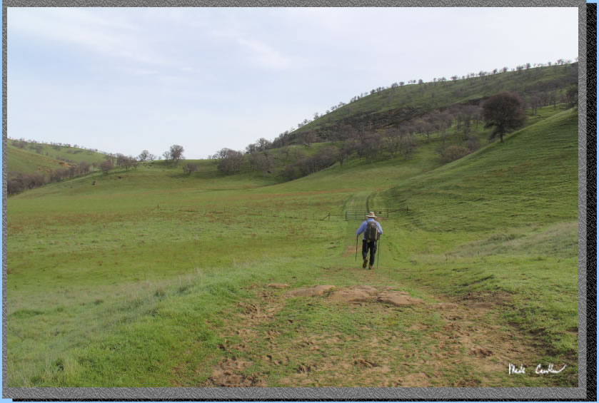
There is a short up and down to the gate seen in the distance past Dan.
We continued around the bend on the level trail toward the junction with the start of the Murphy Meadow Trail from yesterday. Take a right at this junction to stay on the Miwok Trail headed east.
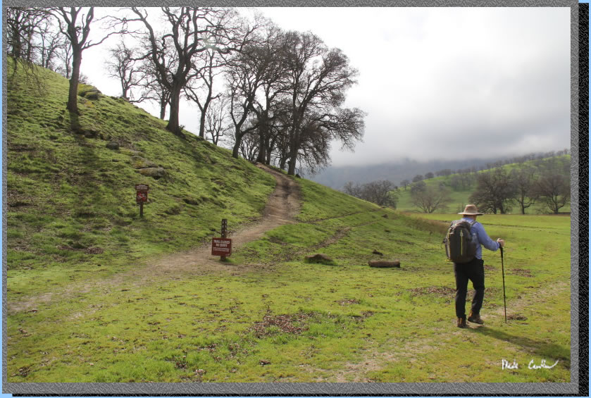
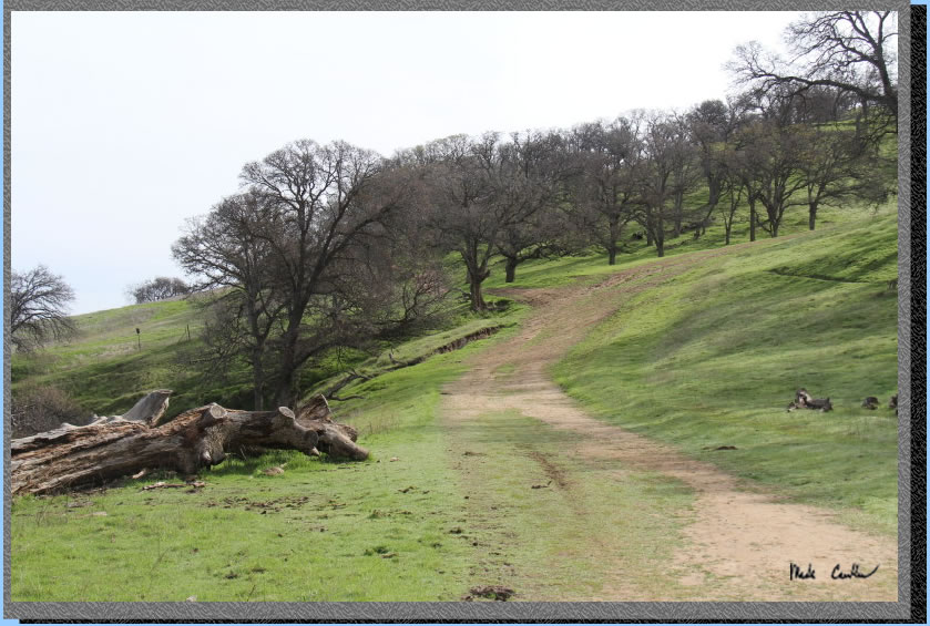
We continued toward the mostly level trail along the creek toward the trailhead. There were a few more hikers on the trail today (a Friday). Some hikers were surprised we camped overnight. This image shows the hill on the way out. The junction is unmarked but you want to stay right up the hill to stay on the official trail. Overall this area is great to hike in and I am sure we will return. There are warnings about being prepared for the heat/sun out here in the summer. I will leave you with some cool shots that didn't fit well in the trail description.
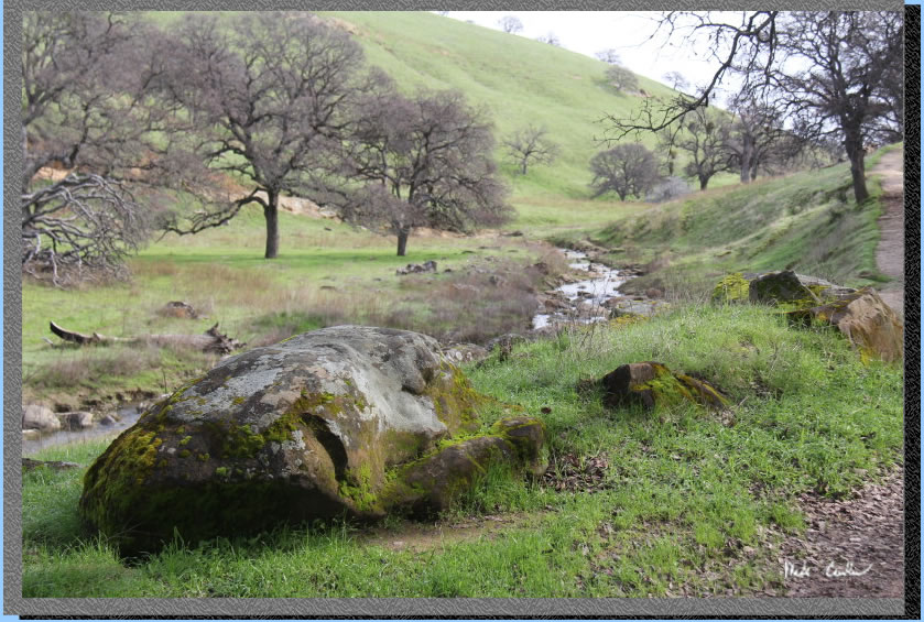
Moss rocks.
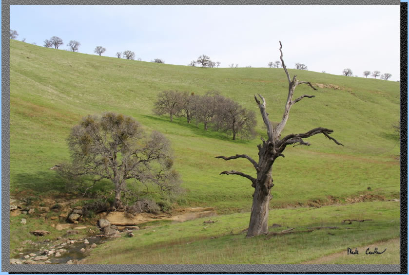
Stubborn tree.
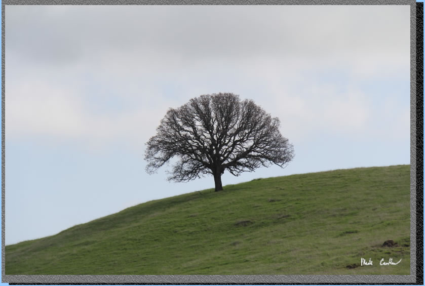
Beautiful Oak.
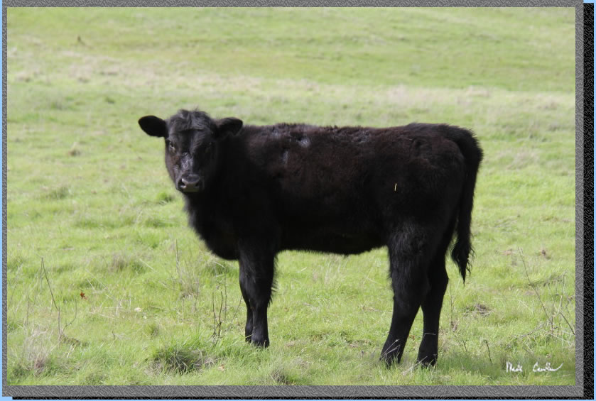
Curious cow.
We did a semi-loop hike on this trip. Day one is shown with a green line and day two is the red line. Click on the map or profiles for the larger versions.
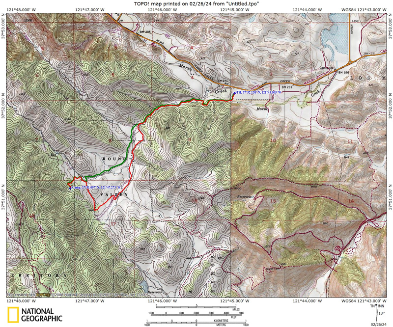
Hike in on Miwok Trail and Murphy Meadow Trail (green line on map).
(back
to top)
Hike out via Murphy Meadow Trail and Miwok Trail (red line on map) .
(back
to top)