![]()
Day 1, Day 2
 Permit
- A permit is required for all overnight stays in Mokelumne Wilderness.
Permits can be obtained in person at the Pioneer Ranger Station at 26820
Silver Street in Pioneer off Highway 88. There are currently no fees
for the permit, and sites are first come, first served. **In the summer
you have to get a site specific permit at the Carson Pass Information
Station at the trailhead**
Permit
- A permit is required for all overnight stays in Mokelumne Wilderness.
Permits can be obtained in person at the Pioneer Ranger Station at 26820
Silver Street in Pioneer off Highway 88. There are currently no fees
for the permit, and sites are first come, first served. **In the summer
you have to get a site specific permit at the Carson Pass Information
Station at the trailhead**
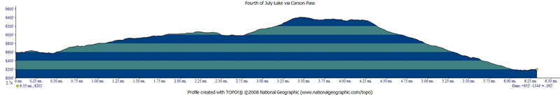
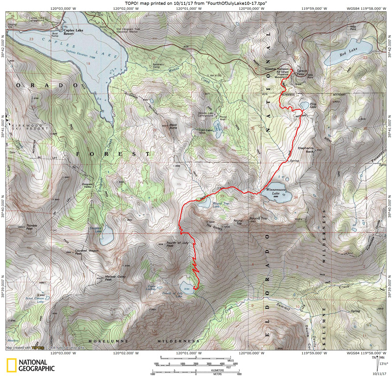
Mileage/Terrain - Day 2 was the reverse of Day 1. We hiked from Fourth of July Lake to Carson Pass trailhead. See map/profile below that shows the trip in (I didn't record the trip out, so think backwards on the profile :-)
Camps/Water - There is a bathroom at Carson Pass trailhead, no water/trash (although maybe in summer they have trash service).
Hazards - Black Bears, cold/snow, mice/squirrels, and wind. Nearest Ranger # 209-295-5996 (always check with ranger ahead of time for current water/weather/trail conditions).
DAY 2
We had a nice
evening chatting, and then once we had enough of the cold, we headed
into warm sleeping bags. It was nice to be able to get in and zip up
a sleeping bag. It seemed like most of my trips I was too warm to want
to use a sleeping bag this summer. The wind really picked up in the
early morning. There were some really strong gusts but it seemed to
calm down some for breakfast, and then picked up again when we were
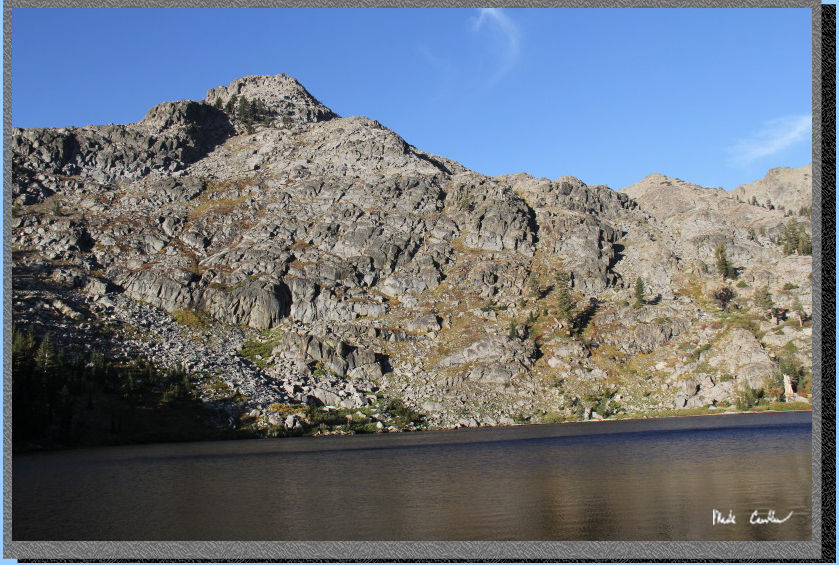
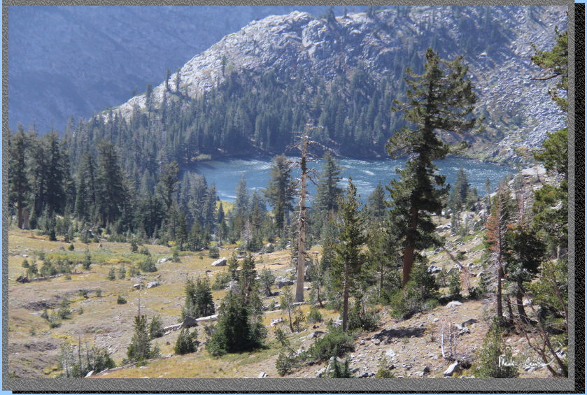
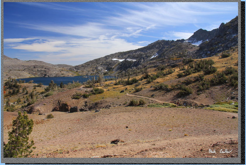
packing up tents. We headed out to go up, and out. I grabbed the shot
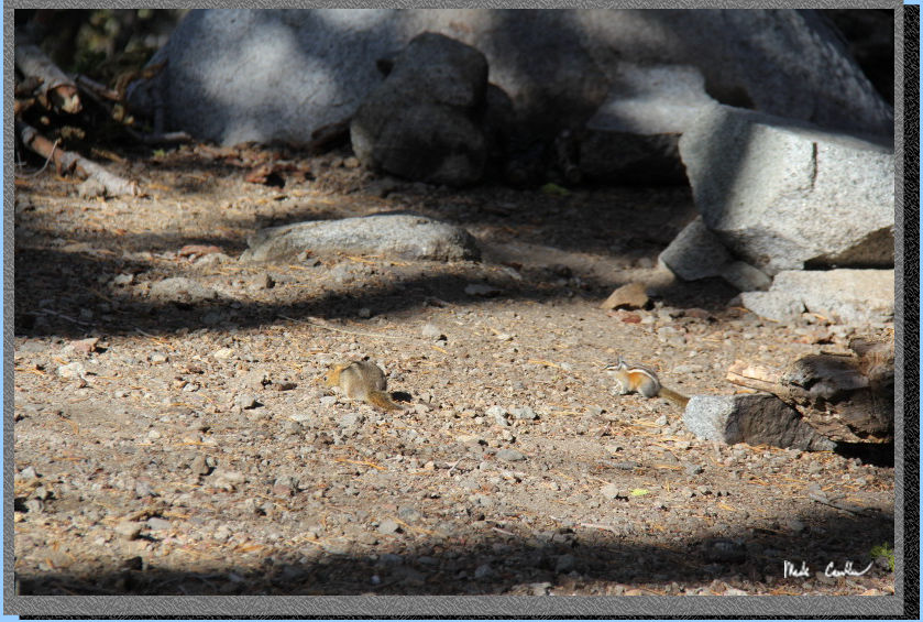
above of Fourth of July Lake between wind gusts. The image below shows
the squirrels descending on the camp as we were headed out.
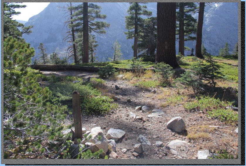
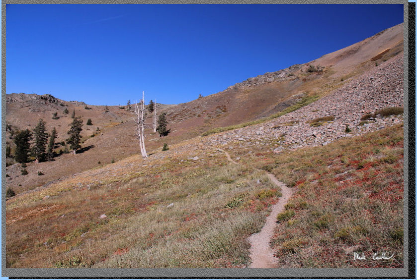
Here is the trail marker
that marks the trail to Summit City Creek down in the canyon below.
When you are leaving the lake you hang a left here to go up. If you
find yourself headed downhill you chose incorrectly.
It remained pretty cold that
morning and the wind only made it feel colder. I wore gloves for most
of the trail out. I also had to strap down the hat to keep it on my
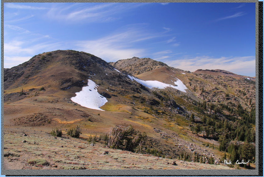
head. Here is the ridge above Fourth of July Lake.
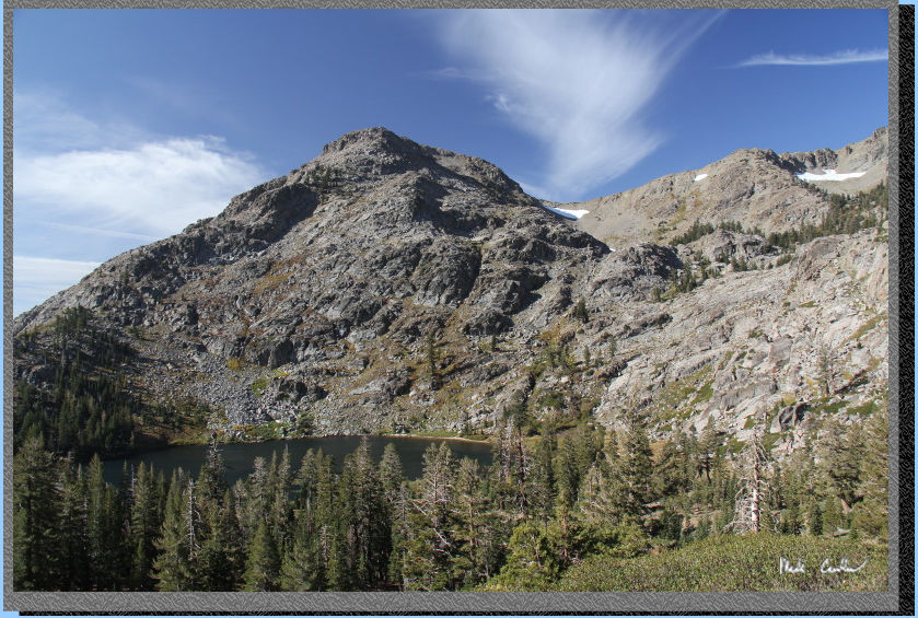
The sky was nice and blue (well looking north and east anyway). The
trail takes us up to the low point on the left side of the image below.
Getting closer.
I include this shot to show
the wind now. This is me zoomed in to Fourth of July Lake showing the
wind down there . The wind was getting stronger the higher we climbed
now.
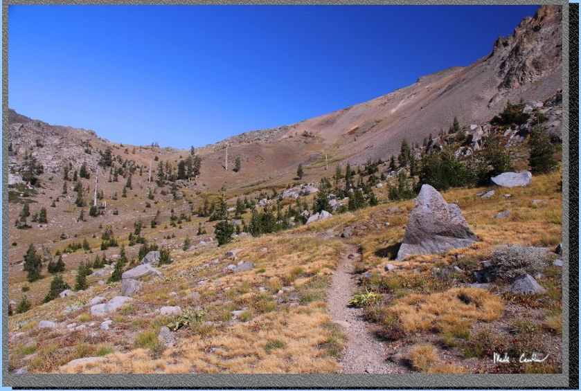
We made it to the top and turned the corner to get over to Round Top
Lake. Here is shot of the wind swept clouds looking west. I will leave
you with some images taken on the way out. The wind was crazy blowing
now. It actually was moving you as you walked along the trail. It really
didn't let up until we were past Frog Lake. It did make for some crisp
images though. If you head out this way you won't be disappointed. We
stopped for lunch at Kirkwood Inn and Saloon. It was established in
1864 and seems to have some original wood holding the place up. It has
a great feel, great food and great friendly service. Here is the menu.
If you stop by be sure to check out the pictures on the walls.
Fall colors around Round
Top Lake.
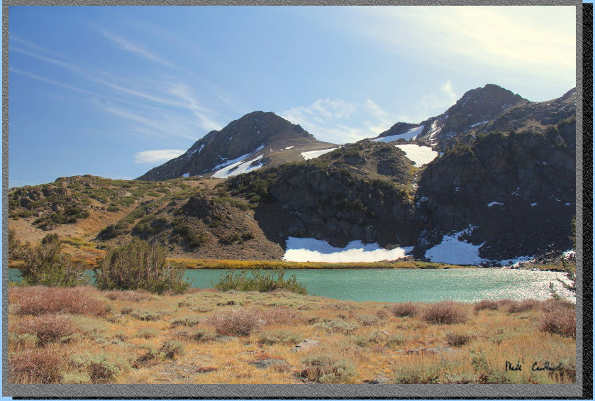
Fall colors around Round
Top Lake, a different angle.
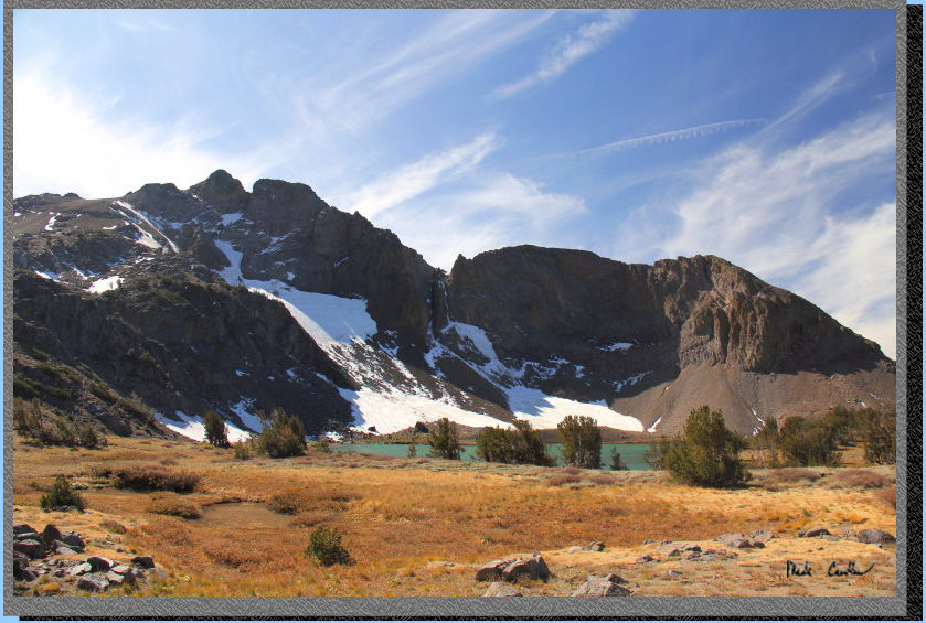
Awesome wind swept clouds above Round Top.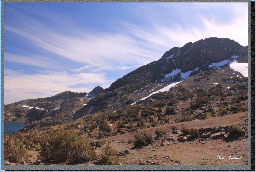
Winnemucca Lake in the distance
now.
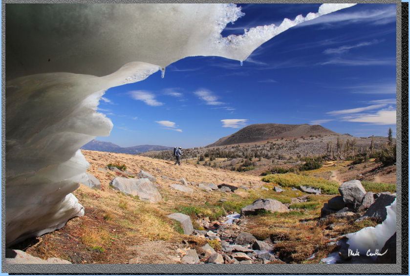
Zakk hiking past my secret snow cave hiding place. It was strangely
warm in the cavern the creek had carved out, probably because it blocked
the wind..
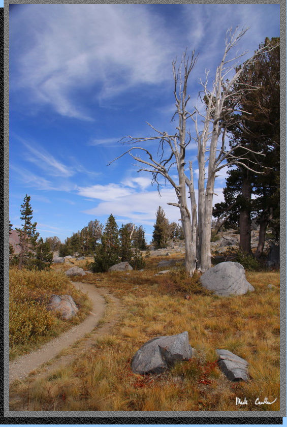
I really hope this tree never
falls down.
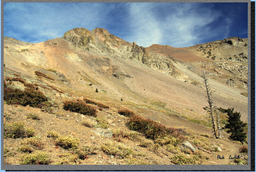
The ascent from Fourth of
July Lake on day 2... I know this is out of order, but I wanted to include
it somewhere as I like the shot.
Go back to Page
1 by clicking here. Scroll down for map and elevation
profile.
Red line shows the
section we hiked from Carson Pass Trailhead to Fourth of July Lake site
#2.
Elevation profiles below map.
Click on map or profile for larger version.
.
(back to top)