


![]()
 Permit
- Permits can be obtained through www.reserveamerica.com
Permits must be picked up from the Bear
Valley Visitor Center (located at 1 Bear Valley Road Point Reyes
Station, CA 94956, 415-464-5100) on your way in. If you are arriving
outside of the visitor center's hours they will post permit outside
for you. Sites run $20 per site per night (up to 6 people per site)
Permit
- Permits can be obtained through www.reserveamerica.com
Permits must be picked up from the Bear
Valley Visitor Center (located at 1 Bear Valley Road Point Reyes
Station, CA 94956, 415-464-5100) on your way in. If you are arriving
outside of the visitor center's hours they will post permit outside
for you. Sites run $20 per site per night (up to 6 people per site)
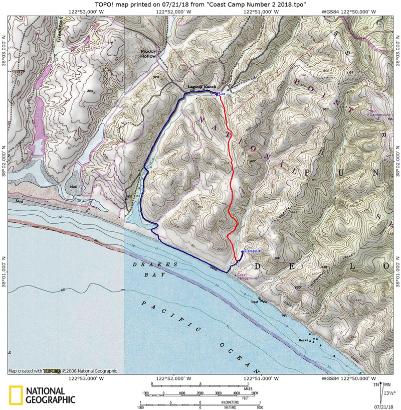
Mileage - Coast Camp is a short 3.1 miles each way via the Coast Trail or a really short 2.1 miles via the Laguna Trail/Fire Lane Trail. Or you can make this a 5.3 mile loop trip. We did the loop on this trip utilizing the Coast Trail and beach. See map/profiles below.
Camps/Water - Coast Camp has 14 sites (some of them are group sites). Sites 1-7 are closest to beach access. Nice pit toilets are near sites 9 and 10. Each site has a metal locker, picnic bench and barbecue. Potable water faucets are provided near sites 8 and 12.
Hazards - Poison Oak, ravenous raccoons, Coast Dragon (use the locker for food storage).
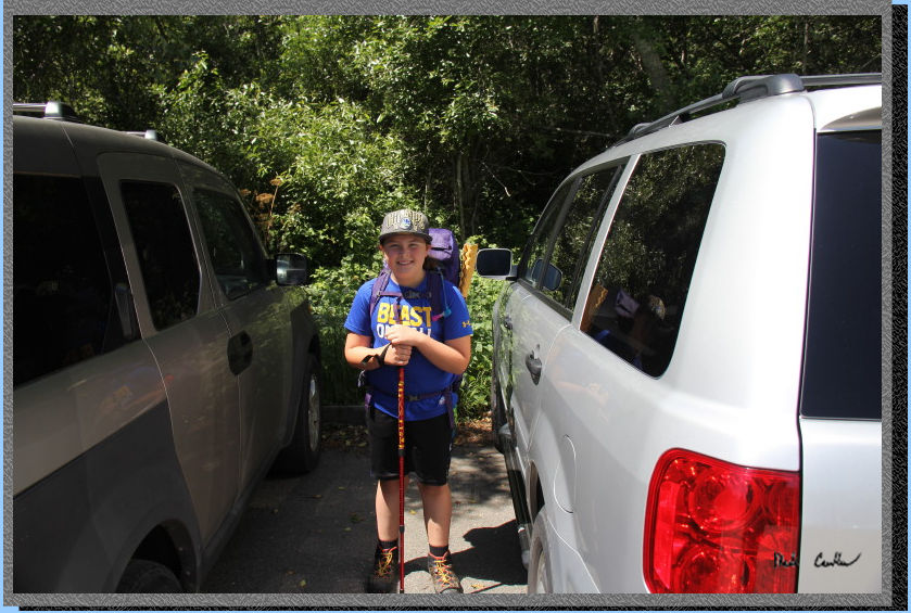
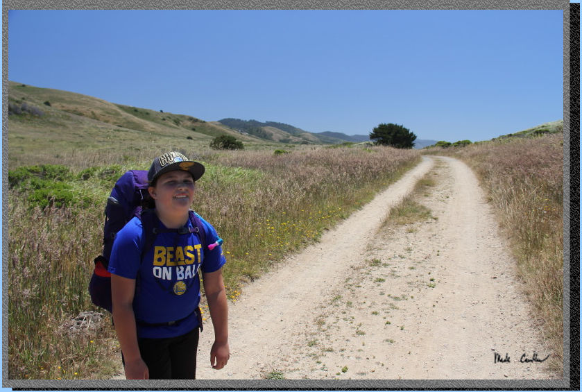
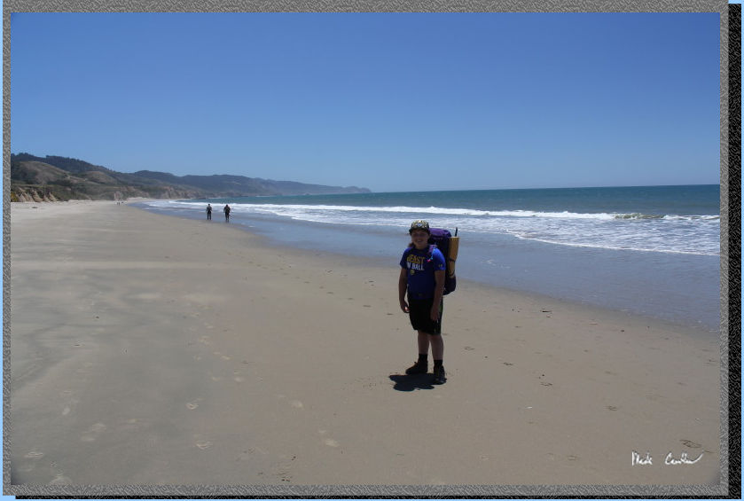
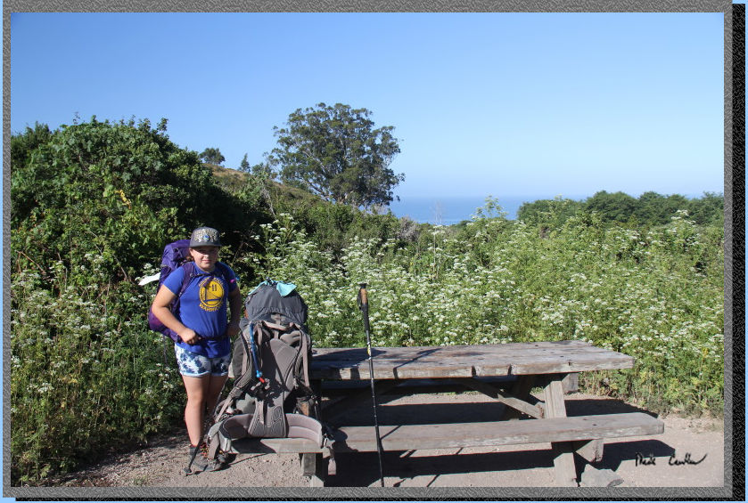
Sarah and I decided to head out to one of her favorite backpacking places. Sites here can book out way ahead of time, especially in the summer It is also very popular with families as the hike is easy. We checked in at the Visitor Center and obtained our permit for parking/camping and picked up a fire permit in case we wanted to brave the wind on the beach (and get lucky finding dry wood) to have a fire. Getting to the trailhead is easy. After you leave the Bear Valley Visitor Center take a left onto Limantour Road. Look for a sign for the Hostel/Laguna Trailhead on the left. Take the left onto this one lane road and you will see the Coast Trailhead on the right (just before the Hostel on the left). Parking at Coast Trailhead is limited (you must park off the roadway or you will get ticketed). We continued on to park at the Laguna Trailhead down past the hostel on the right (crossing a bridge to lot). On busy weekends you are likely not going to get a spot at the Coast Trailhead. If no parking is available drive further down the road to the dirt overflow lot just before the entrance to the Laguna Trailhead parking lot (or park in that lot, your parking pass is good for either option). Here is Sarah before we left the trailhead.
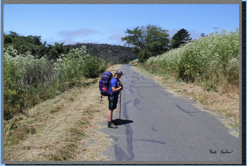
We decided to hike along
the road back to the Coast Trailhead. You can see how overgrown the
road was, prior to them trimming. Here is Sarah carefully hiking along
the road.
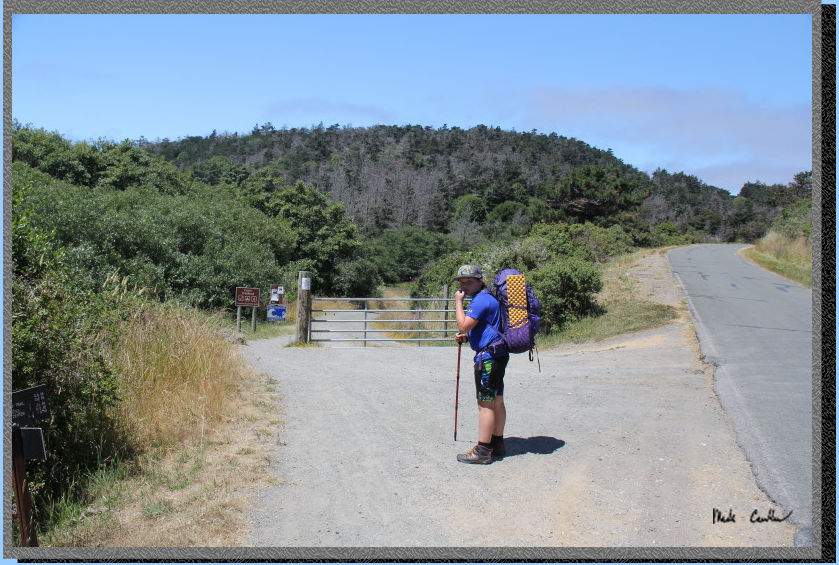
We quickly made it to the
official start of the trail. You can see that we could have parked here,
but we knew that tomorrow we would likely head back on the Laguna Trail,
so it made more sense to leave the car closer for the next day.
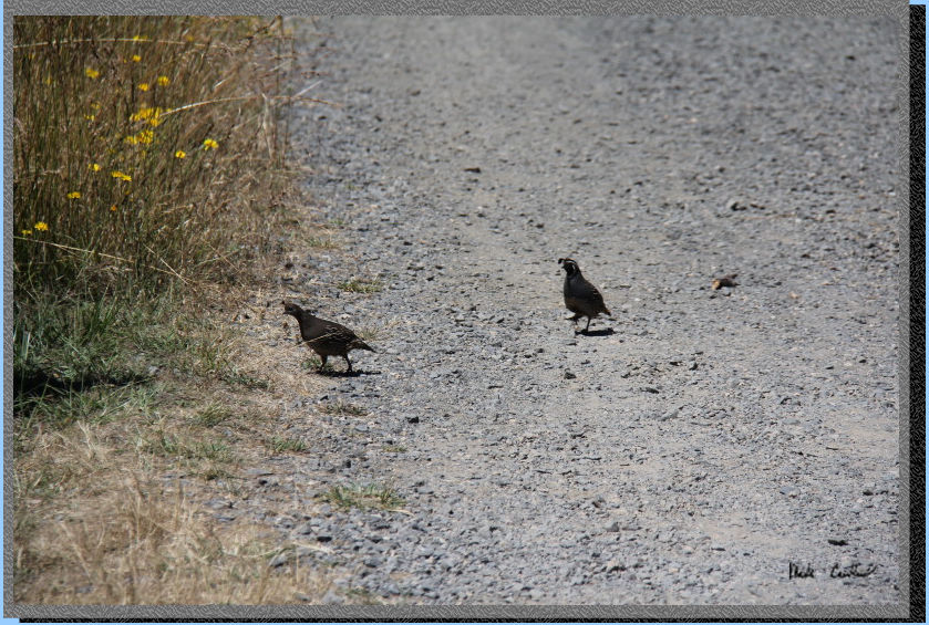
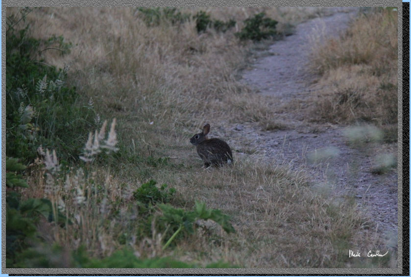
I think the quail wait for us on each trip, or maybe they just like
it out here. The first section of the Coast Trail is a wide road section.
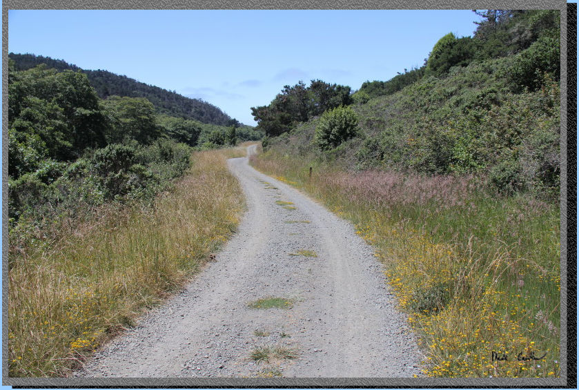
Here is another shot of the
exposed first section. Well all of this trail is exposed, which is usually
OK as the water views are ahead and the breeze is usually blowing.
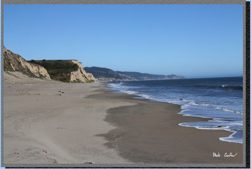
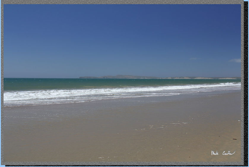
Eventually you will travel
far enough to catch a glimpse of the ocean. From this point you can
either head down to the beach and hike in the sand the rest of the way,
or stay on the Coast Trail. We chose the sandy route
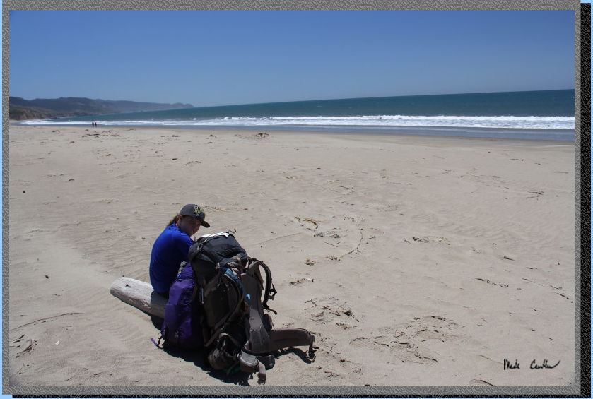
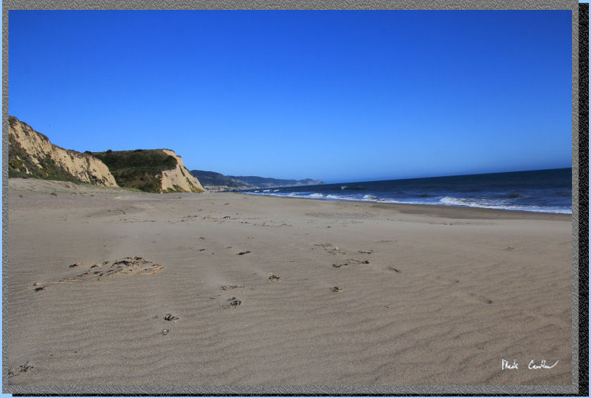
Here we are out on the beach
having lunch before we continued on. We walked close enough to the breaking
waves to be on the denser sand, but not close enough to worry about
a wave getting our boots wet. It was pretty windy that day, which made
for clearer skies.
Here we are getting closer
to camp. It was great to take this path, but at high tide you may have
to walk in the softer, drier sand. That may not be as fun.
I always try to turnaround
occasionally. On some trails it is a good way to keep your bearing.
Here you just don't want to miss out on some of the views. There was
still a little haze hanging around, but the ocean had good color.
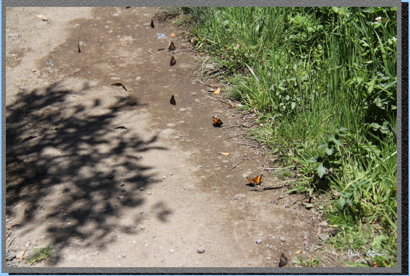
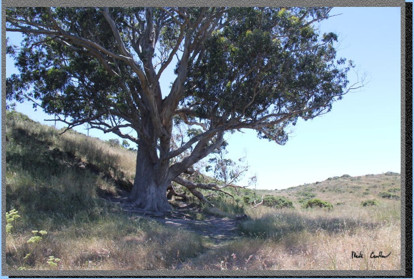
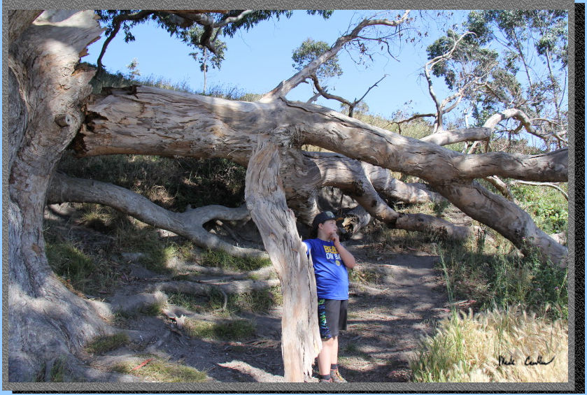
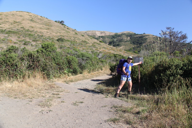
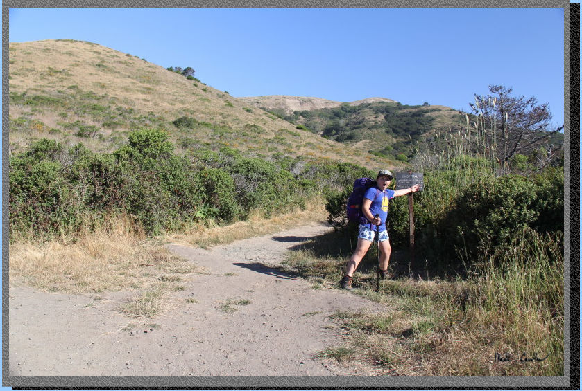
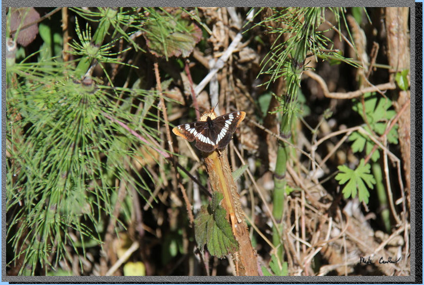
We took a left to access the campsites via the trail. You can't miss
the campsites if you just take a left at the biggest tree. There are
some butterflies that were on the trail in this shot.
.
Here is the "big tree".
There was a big branch that had broken off recently. There are sometimes
ropes/swings attached tot his giant, not today though.
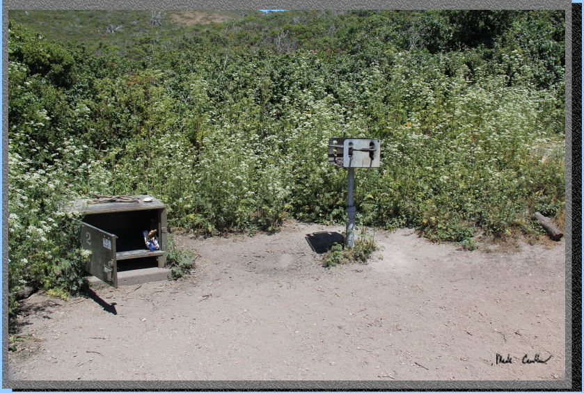
We made it up to site #2 (first one up the hill on the right). Each
site has a bbq, food locker and a picnic table. I can attest to there
being lots of critters that will eat your food out here, so use the
locker.
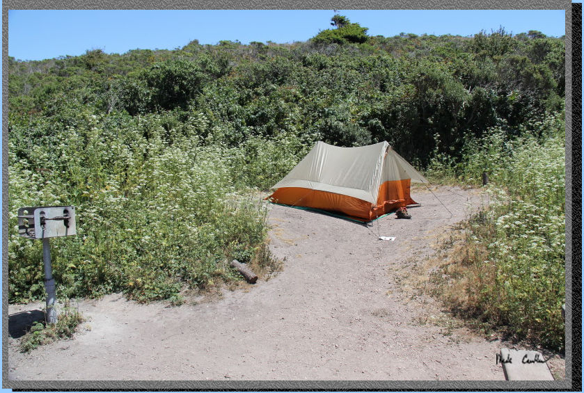
There is really only room
for one tent at this site and the tent site is very sloped. It would
be better to move the table up to the tent site and camp where the table
is. I did not investigate if this was a viable option or not (the table
may be anchored).
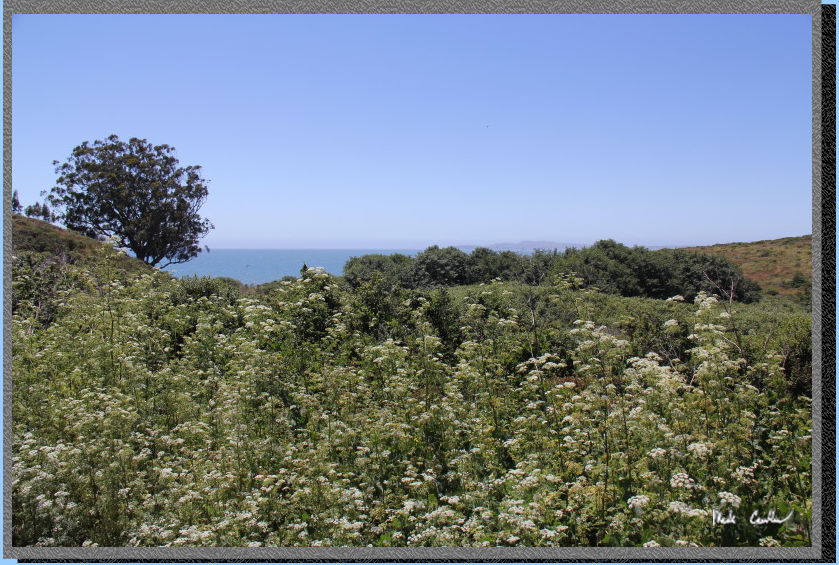
Here is the view of the Ocean.
You can hear the waves crashing but not see the breaking waves (even
if you stand on the table). I think the view from site #1 are slightly
better.
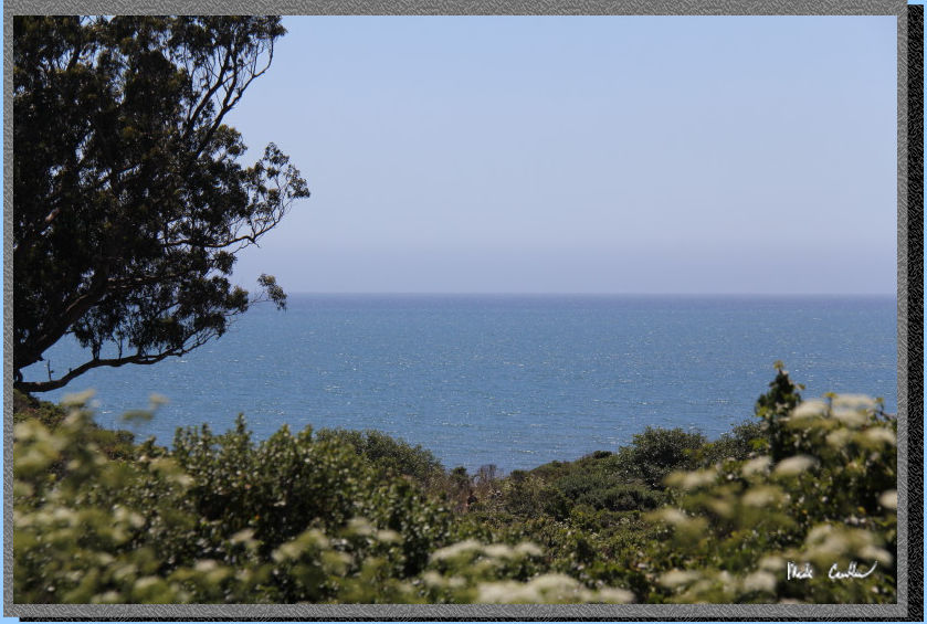
The view zoomed in (notice
the whitecaps starting out there).
We decided to head down to
the beach after setting up camp. Here is Sarah thinking about how to
reattach the branch of the "big tree".
Sarah and I played on the
beach for a while. The wind was blowing the sand pretty good, I was
glad I was wearing pants. Sarah said it felt like someone was trying
to sand her.
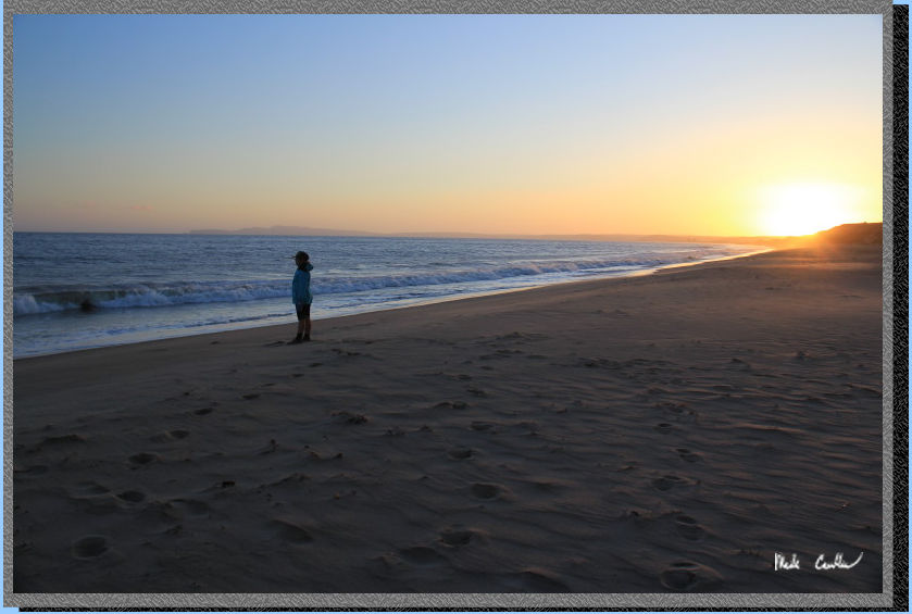
We headed back to camp for
dinner and then decided to go out on the beach for sunset. We saw this
guy out there enjoying the low light and green grass.
Here is Sarah looking for
sea life.
We didn't stay up too late
and decided to get an early start as the next day was supposed to get
warmer. I took one picture of camp before strapping the pack on.
We headed down the hill from
where sites 1-7 are and made the right past the trash cans down to the
creek and up to this junction with Laguna Trail. We took the right and
the soon to be uphill climb to the next junction.
Here is the next junction. The angle is actually backwards though as
you will continue straight to the Laguna Trailhead or take a right if
you are wanting the Fire Lane Trail.
We did encounter many people on the way out that day. We did see many
butterflies though. This was another great trip. The popularity is justified
for this camp. I have talked to families that use this camp for a couple
nights to allow for exploring some of the beaches to the south. I think
I will try to work that section of the Coast Trail into an upcoming
trip.
Scroll down for map and elevation profile.
Blue line shows the
path we took from Laguna trailhead to Coast Camp #2 via Coast Trail
and beach.
Red line is hike out via the Laguna Trail on day two.
Elevation profiles below map
Click on map or profile for larger version.
.
(back to top)
Elevation
profile below shows Coast Trailhead to Coast Camp #2 via Coast Trail
and beach. 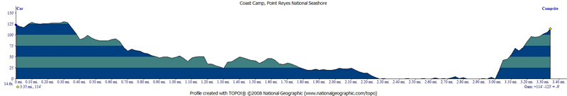
(back
to top)
Elevation
profile below shows Coast Camp #2 to Laguna (and then Coast) Trailhead
via Laguna Trail.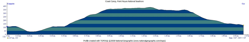
(Back
to top)